

Swapnabhoomi
Project size: 4.7 acres
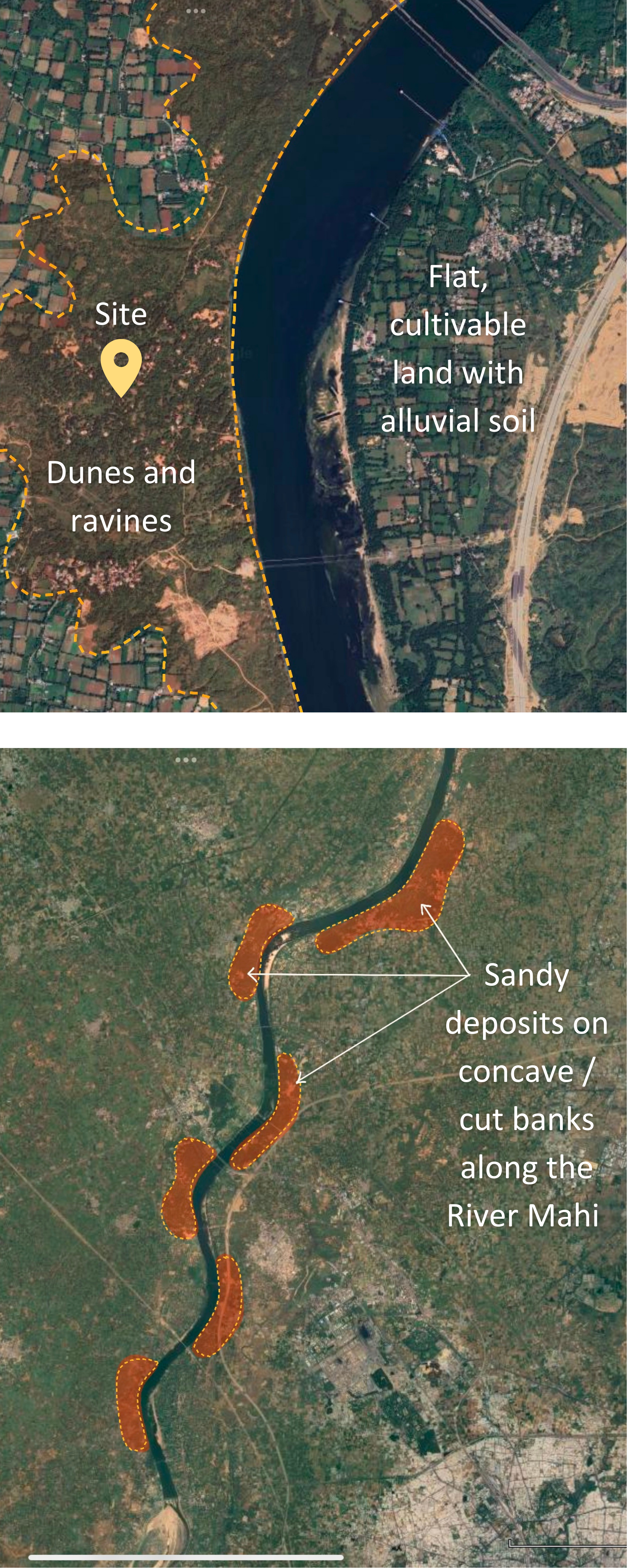
Ravines of the River Mahi in Mandavpura, near Vadodara, Gujarat, India
June to August 2022
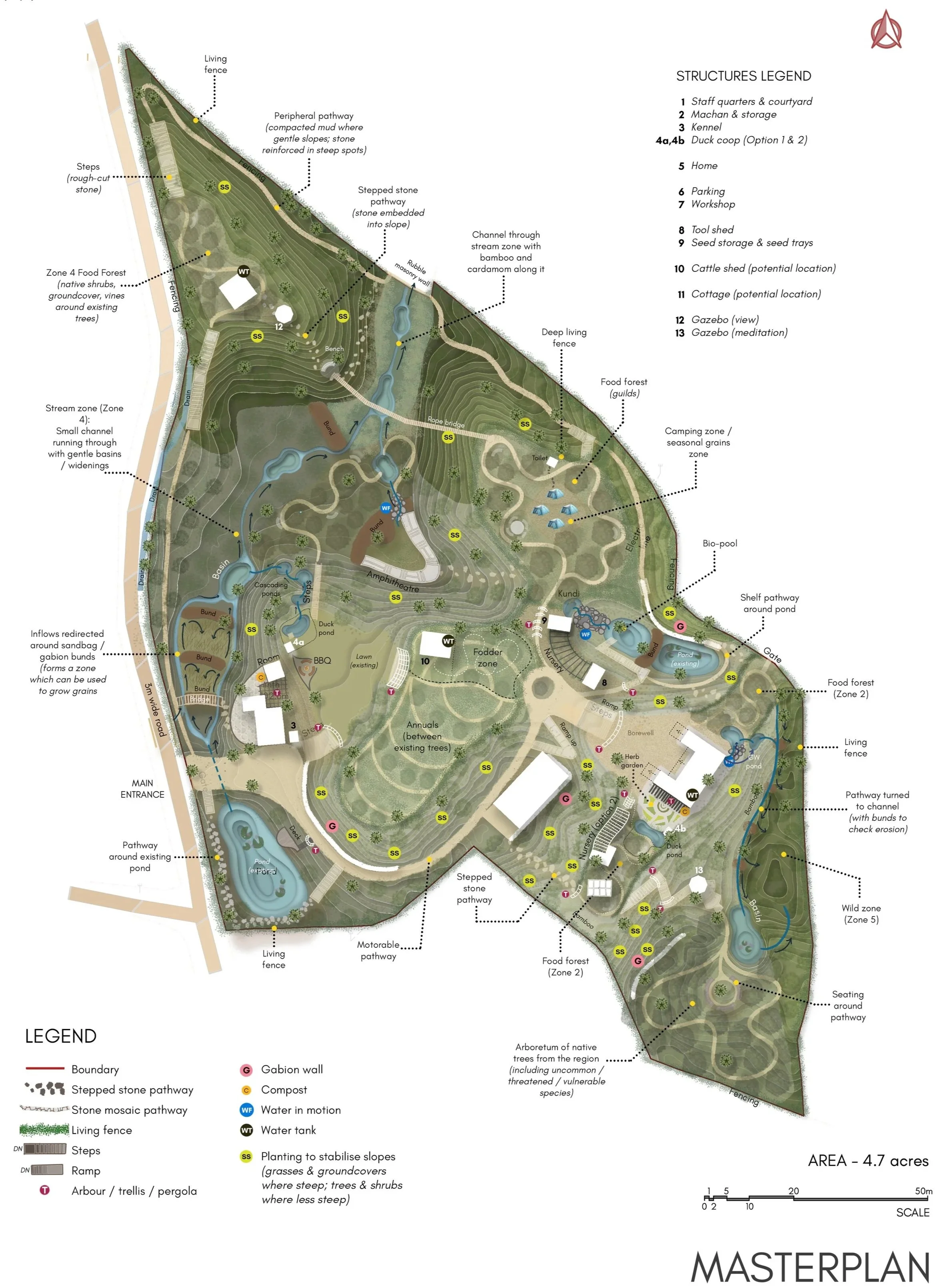
Key features: Masterplan for resilience, flood management, slope stabilisation, wild zones, arboretum, food forest, ponds and basins
Project team: Sanjana Radhakrishnan (Project lead); Jananee Mohan, Nikhil Rodrigues
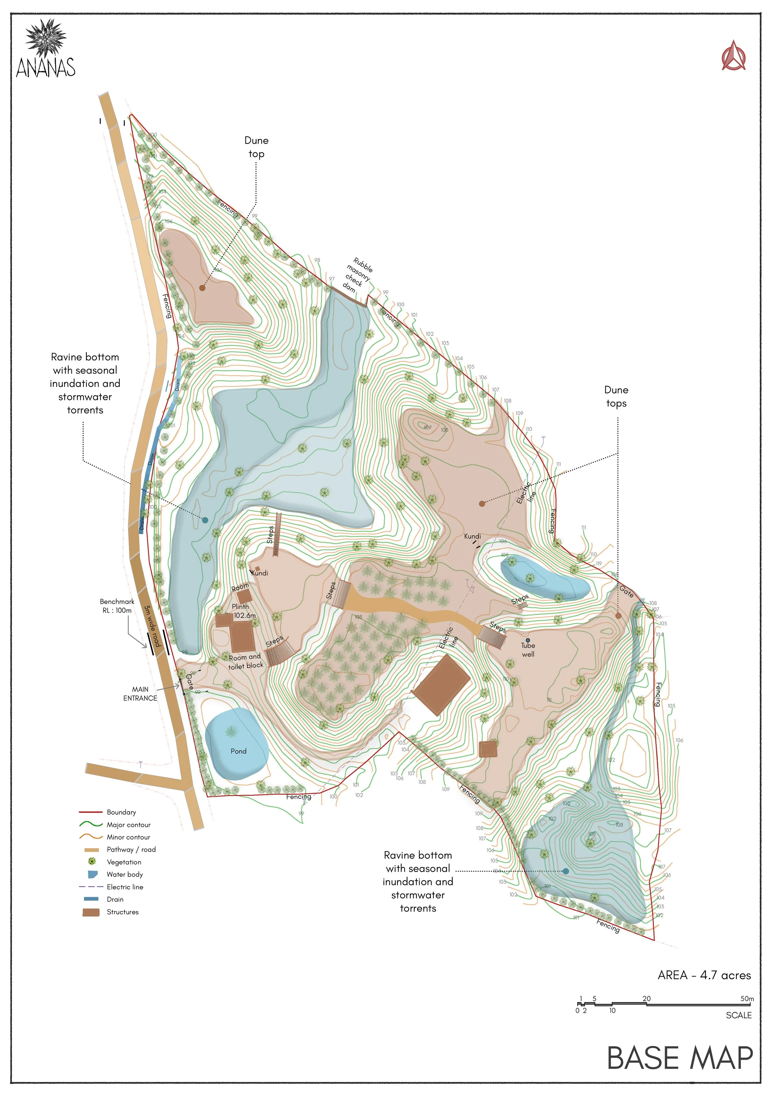
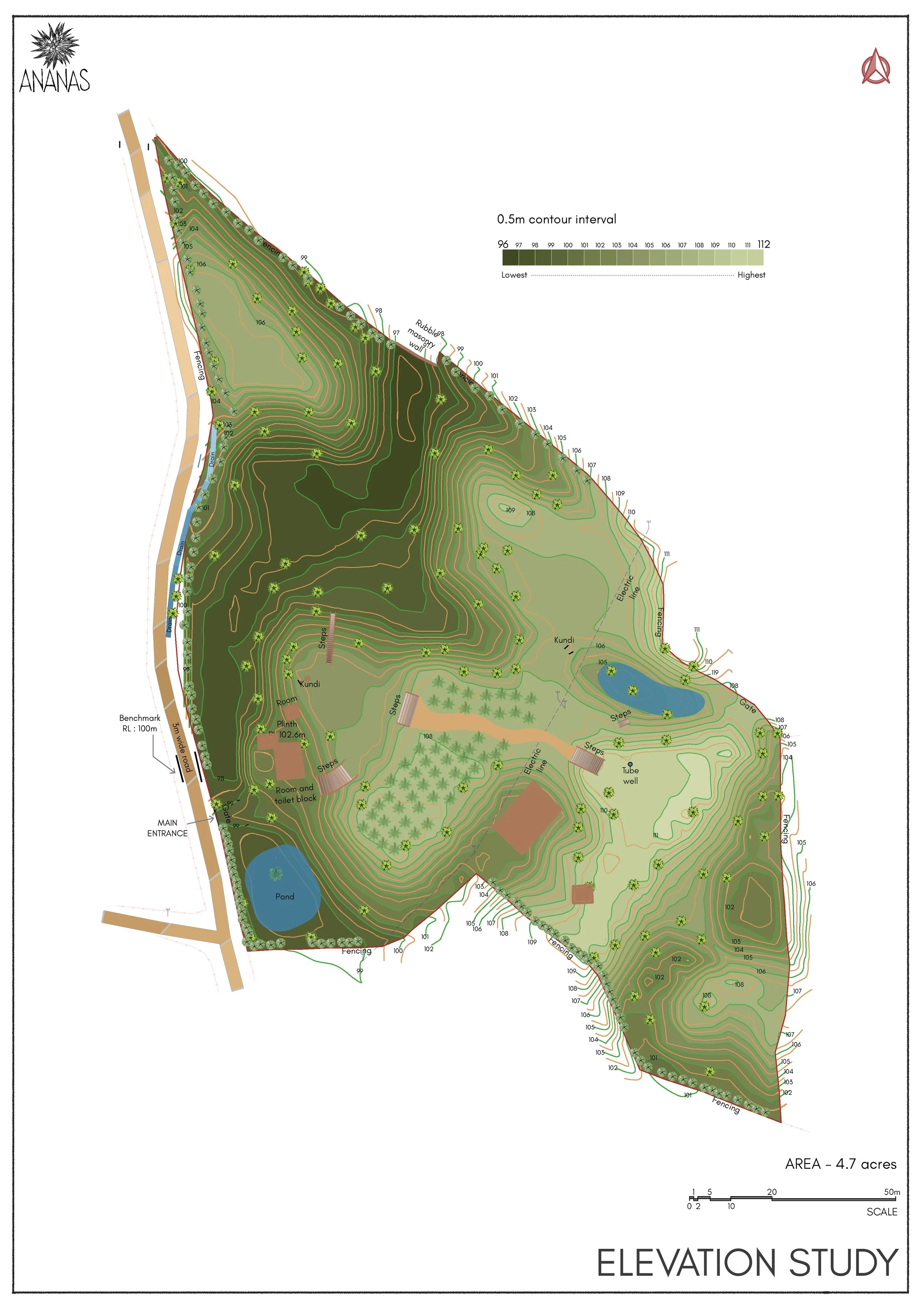
Elevation: 25 metres above sea level
Annual rainfall: 832mm / 33 inches
Climate: Hot semi-arid + tropical savanna
Bioregion: Tropical riverine and mixed deciduous forest
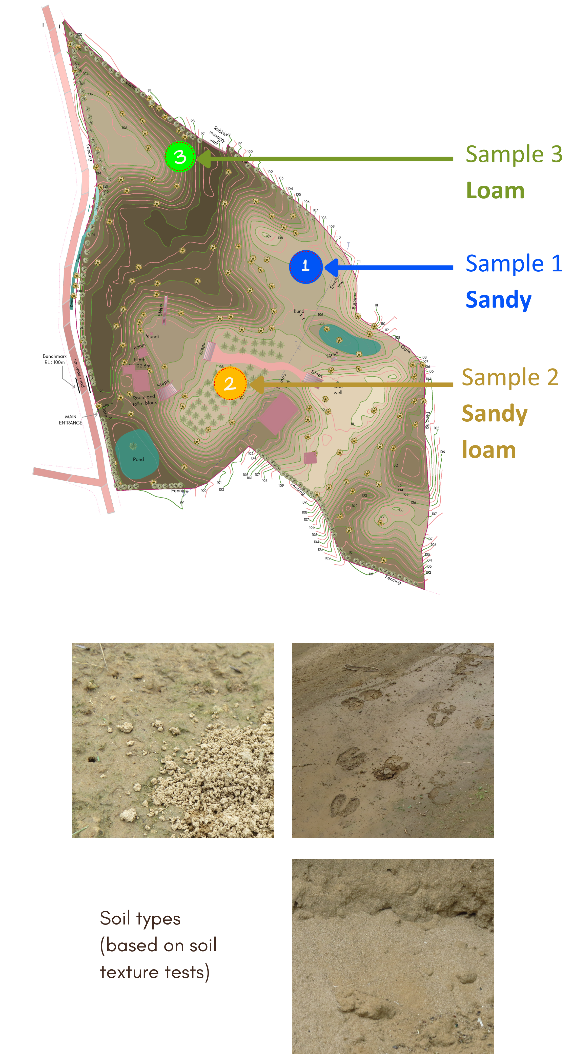
Soil type: Sandy loam and sand
The project set out to transform the land into a resilient, regenerative farm that brings together food forests, productive crops, wild habitats, water bodies, a weekend home, and an Airbnb.
At its core, the design focused on restoring soil health, stabilising slopes, and improving access across the site.
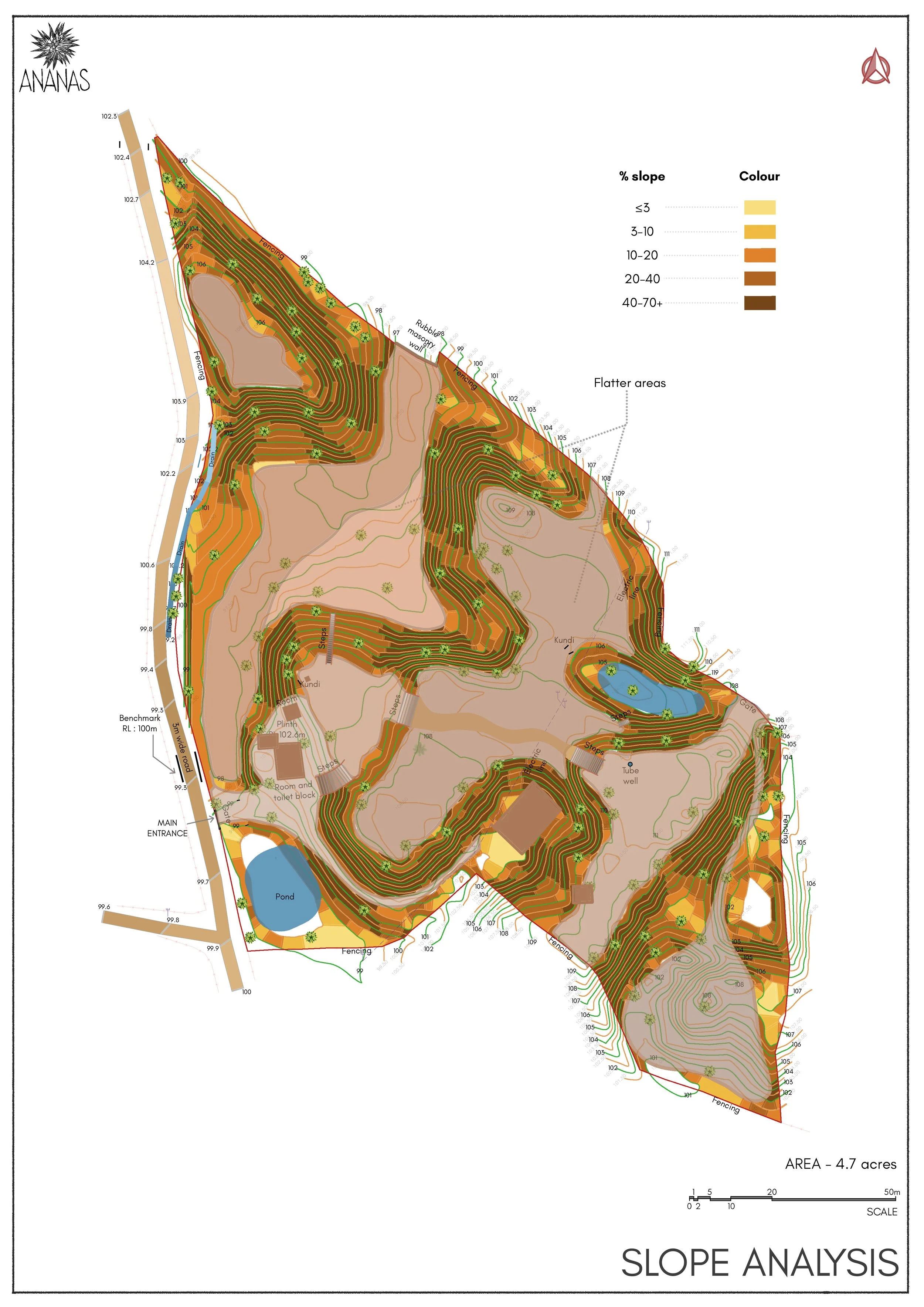
The landscape posed distinct challenges, shaped by a network of steep, narrow ravines that experience seasonal flooding, sandy and erosion-prone soils, severe topsoil loss, and a near absence of native vegetation.
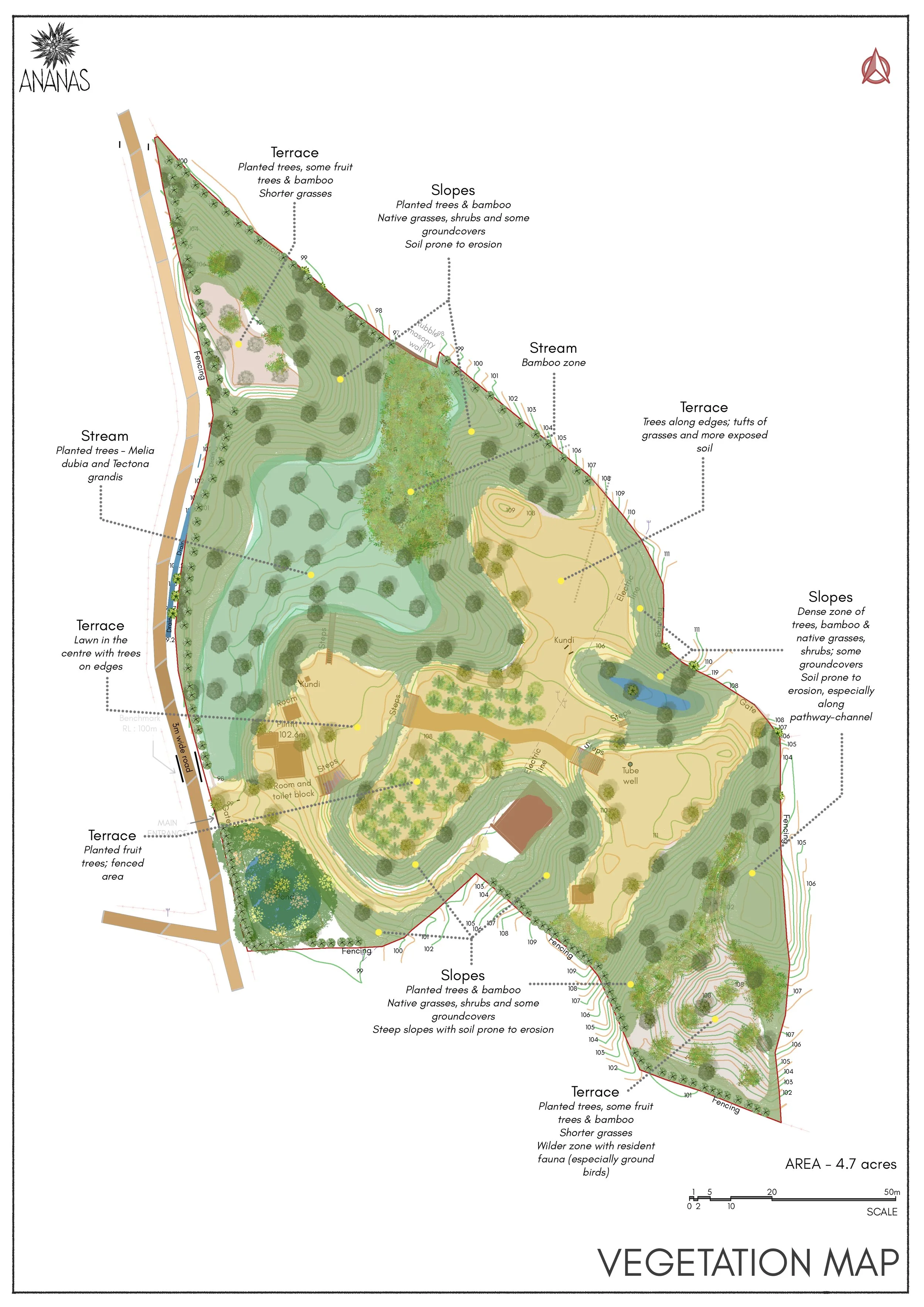
Our design prioritised gentle, hand-executed earthworks concentrated in the valleys rather than on the slopes. Stormwater was managed through measures that slow down flood flows without trapping water in the landscape. Erosion was addressed using short retaining walls in some parts of Zone 0, while slope stability was strengthened through native grasses and bamboo planting. Native biodiversity was further enriched through an on-site arboretum.
Orchards and built spaces were carefully positioned on higher ground to ensure long-term resilience and functionality.
Environmental Study and Zoning
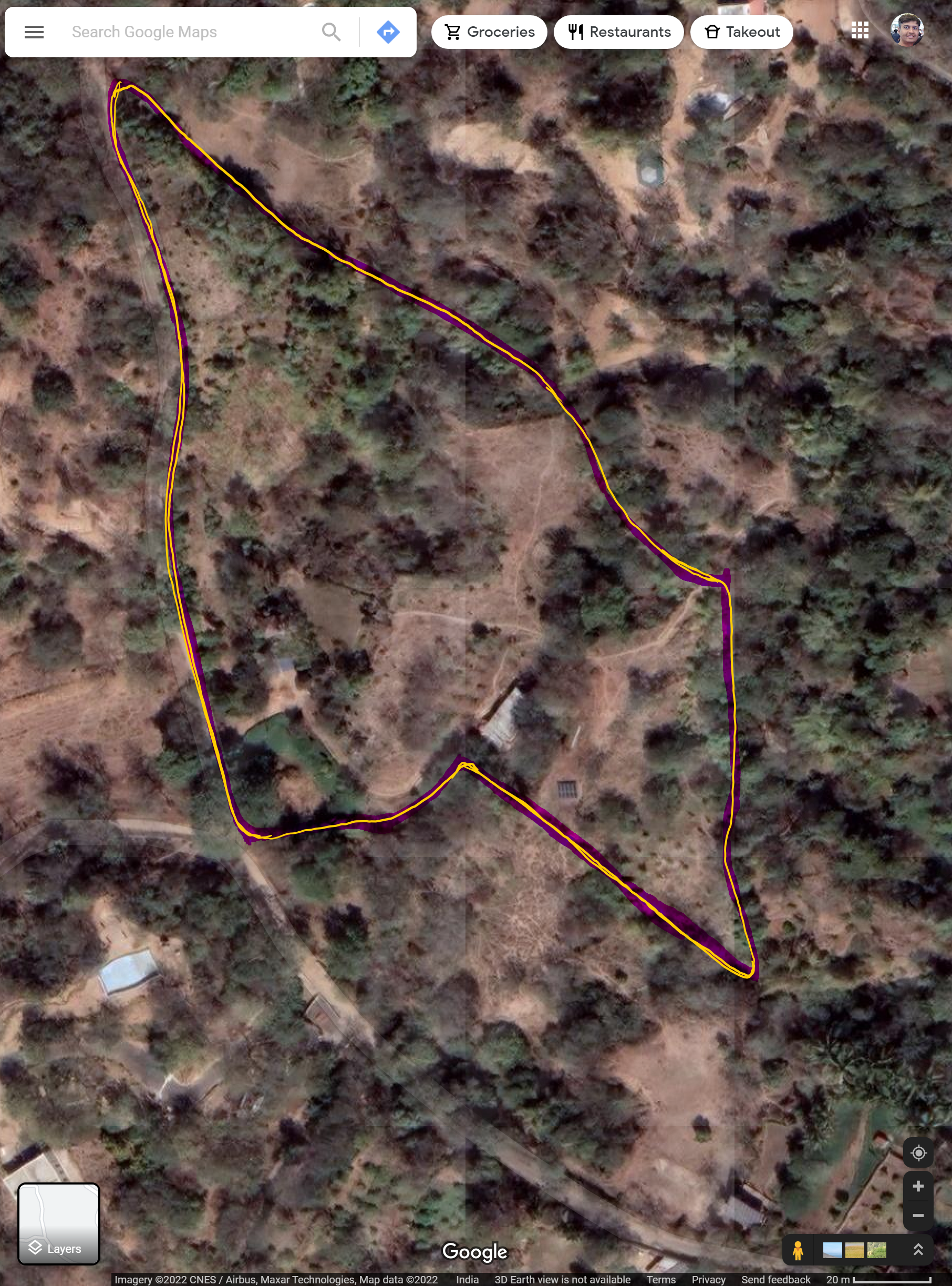
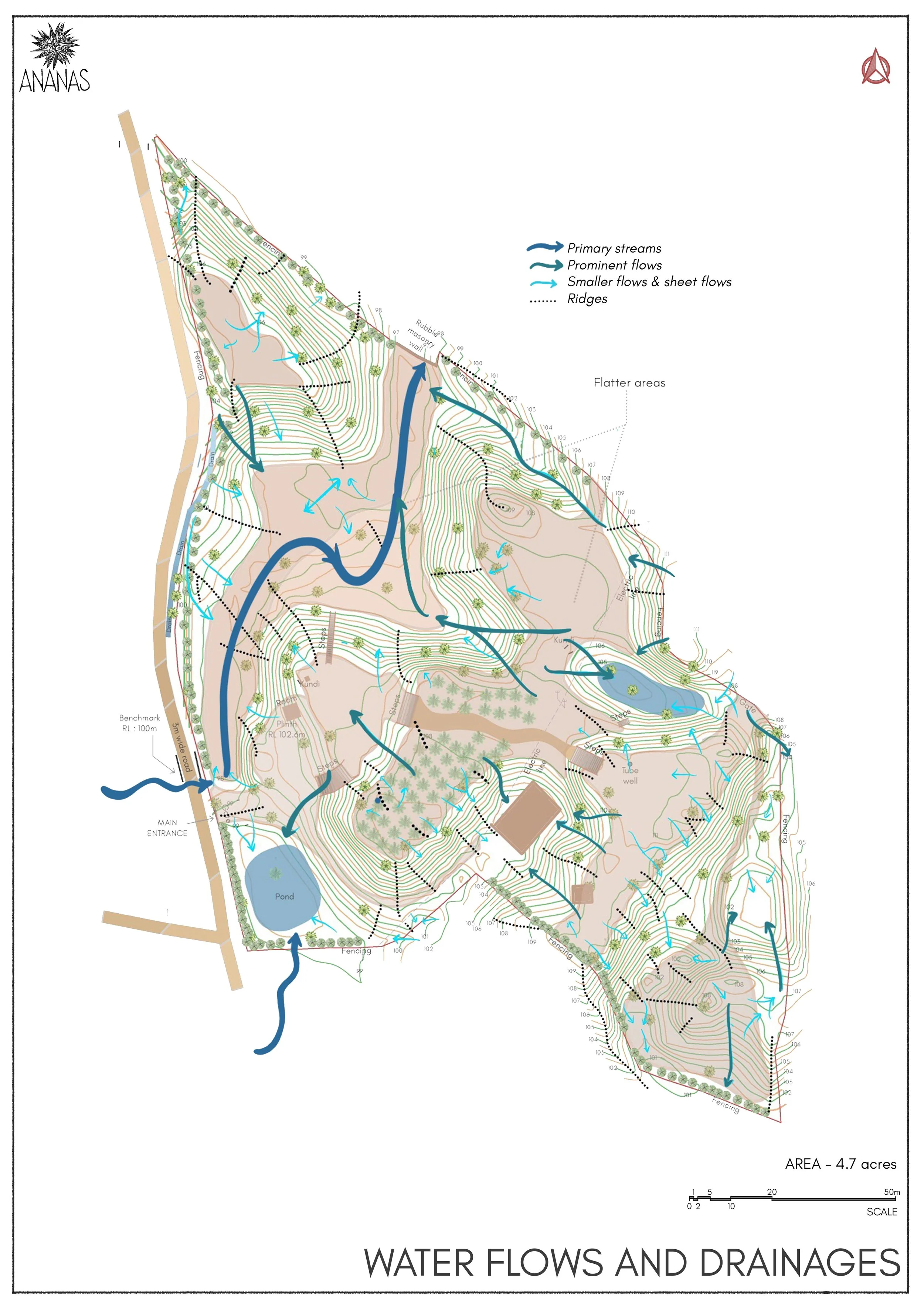
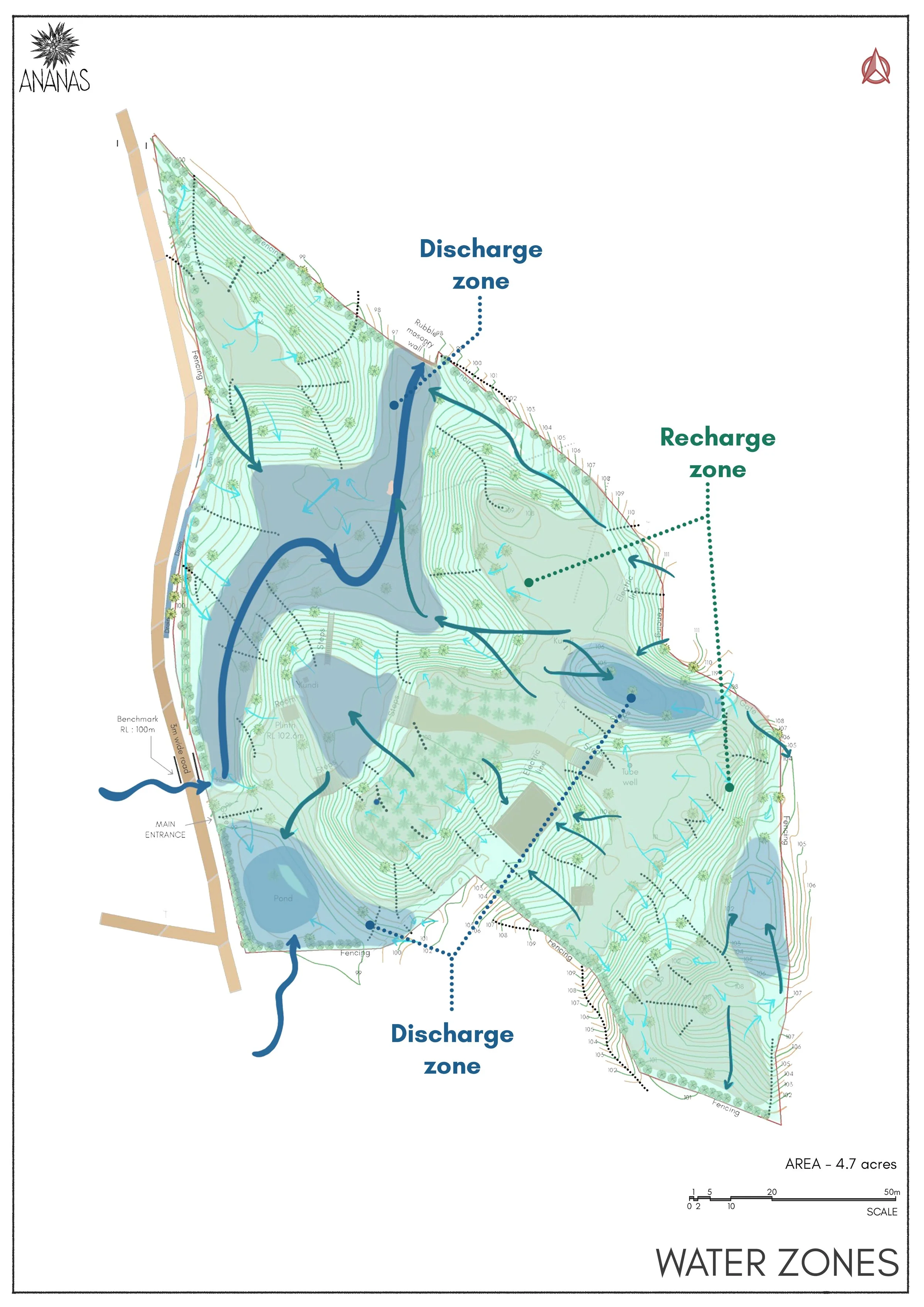
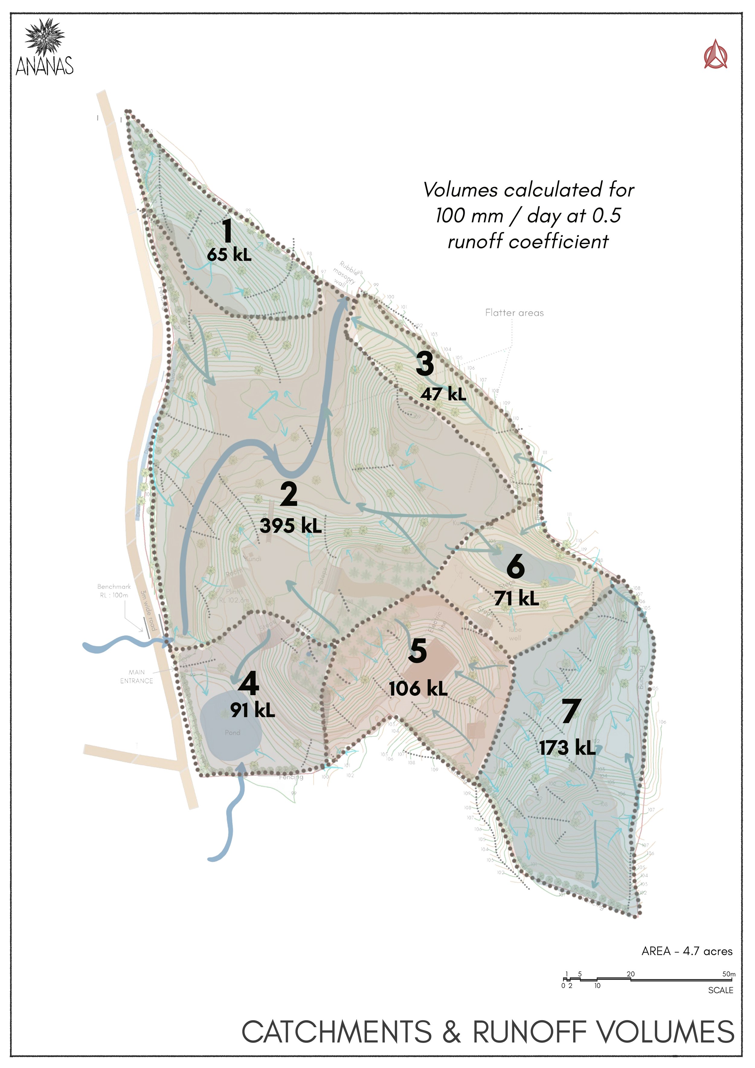
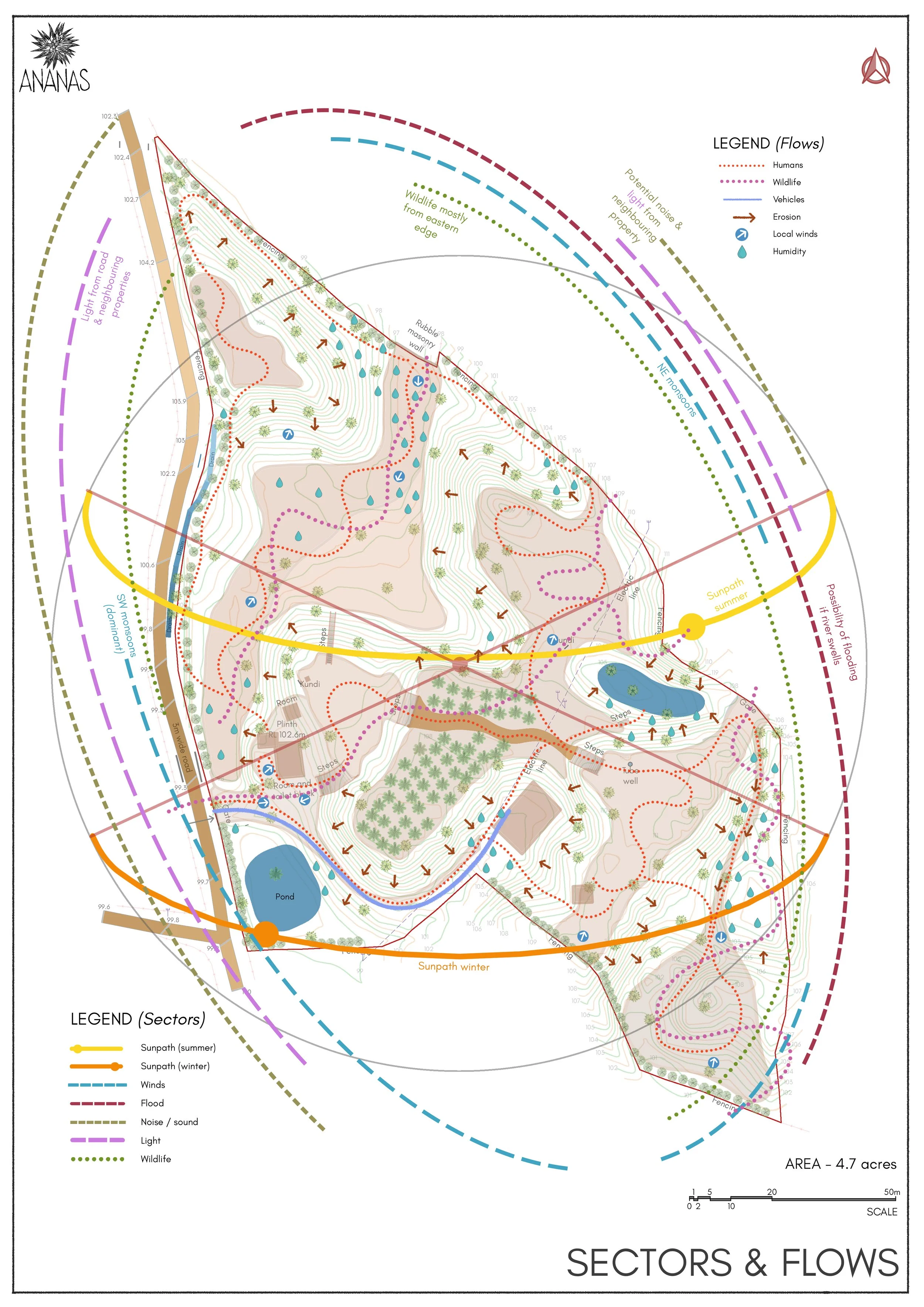
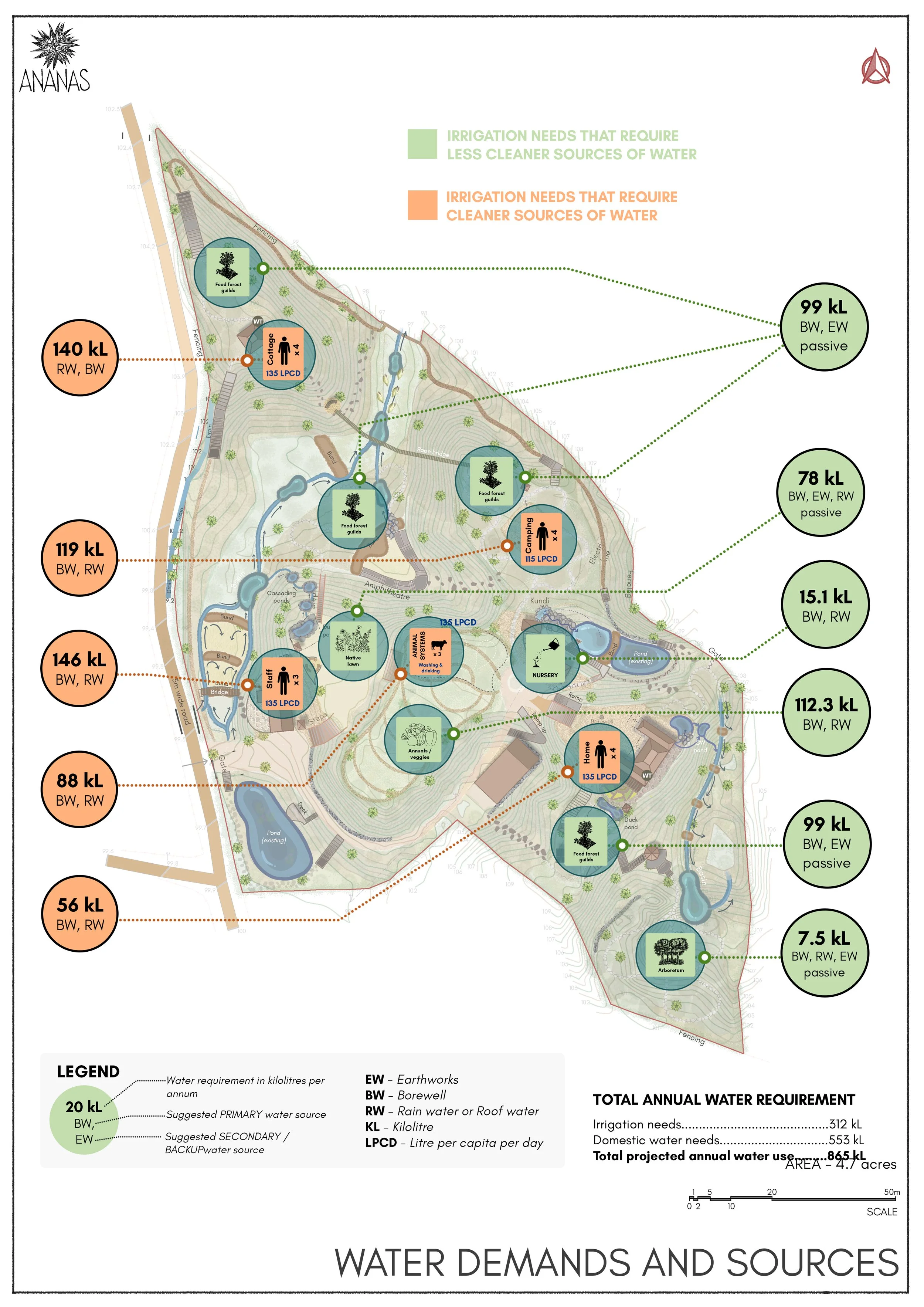
A comprehensive site analysis was undertaken, examining climate, slope, topography, soil, wind patterns, wildlife movement, and the broader context. Existing contour maps were ground-truthed on site to identify key water flows, drainage lines, and groundwater zones. Through photo documentation, surveys, interviews, and on-site assessments, we built a detailed record that supported analysis and informed the design process. This process revealed the site’s unique hydrological character and guided the development of strategies to strengthen long-term water resilience.
Zoning and design development
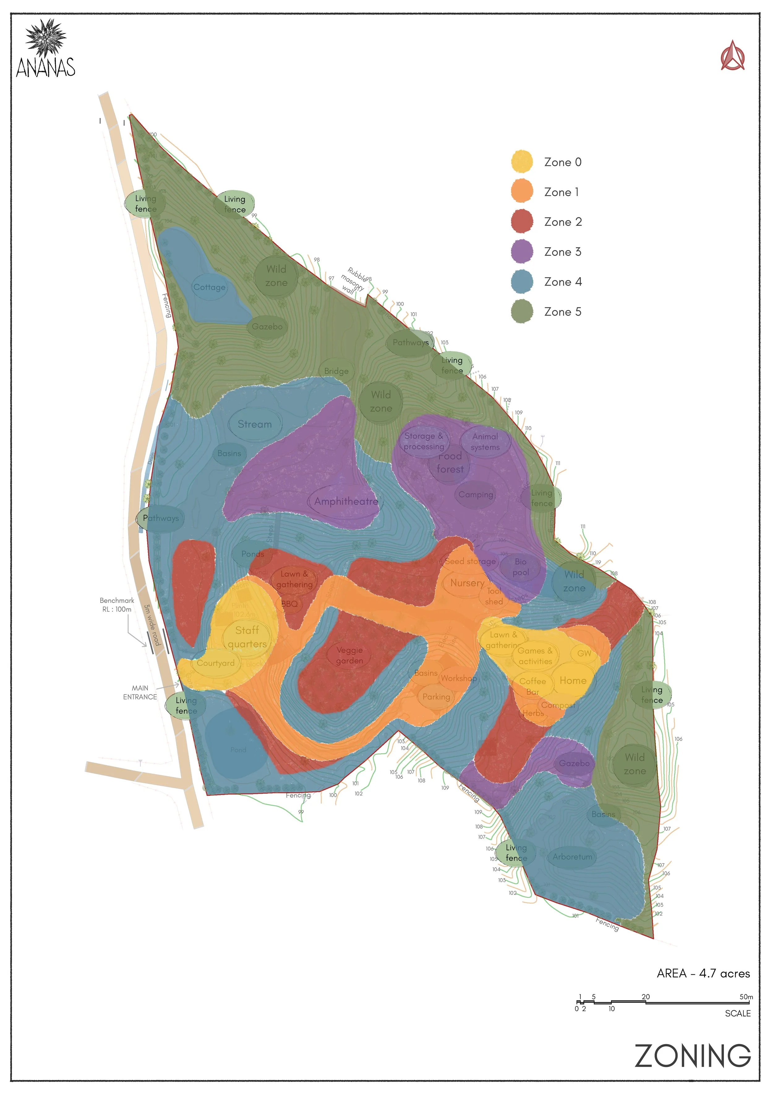
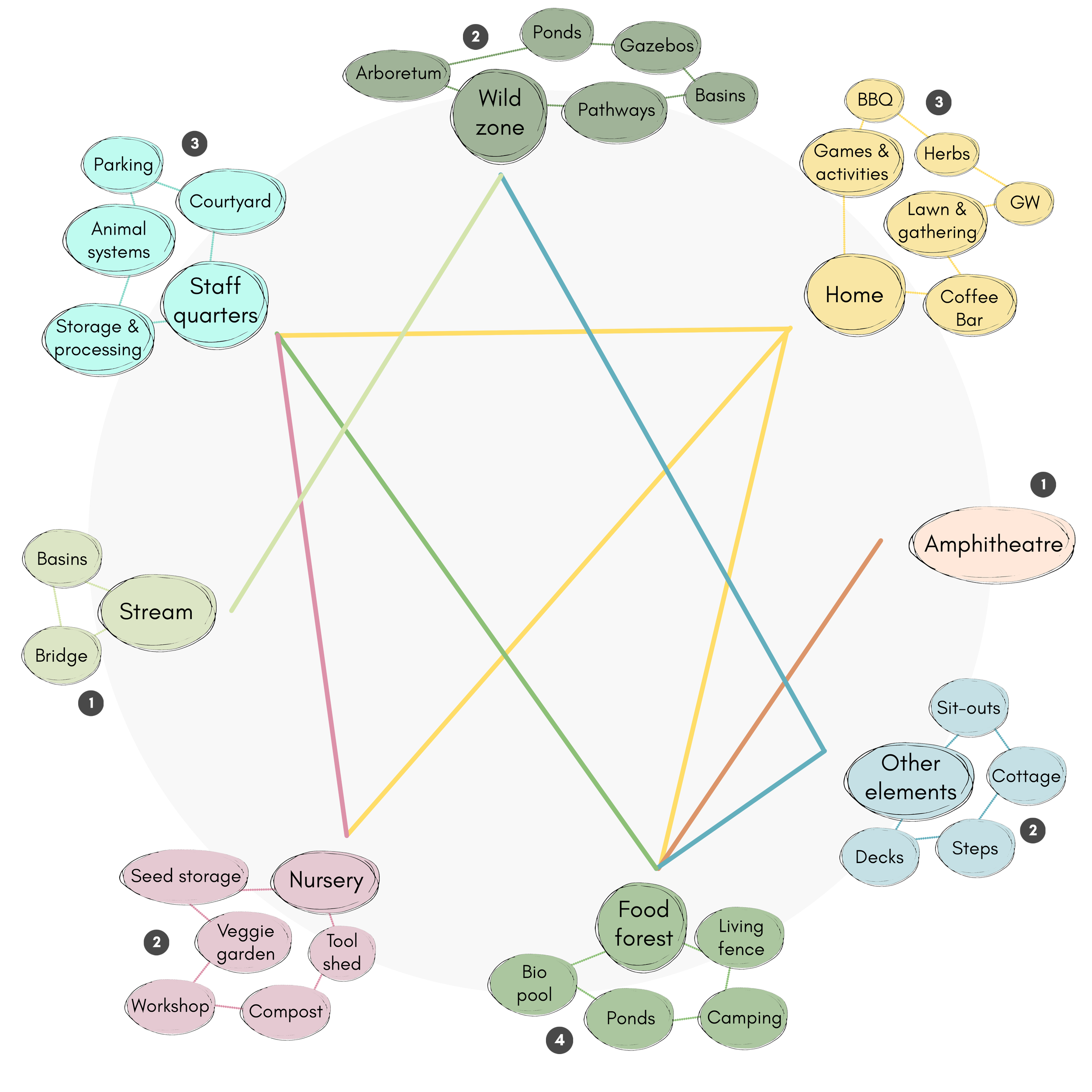
The inputs and outputs of each system element, including resources, energy, food, and ecological services, were carefully mapped. Relationships between elements were strengthened through strategic grouping, stacked functions, and diversification. Drawing on this systems analysis and the site assessment maps, the landscape was organised into six distinct zones. These range from high-activity, high-maintenance human spaces (Zone 0) to protected wild areas dedicated to native biodiversity (Zone 5).
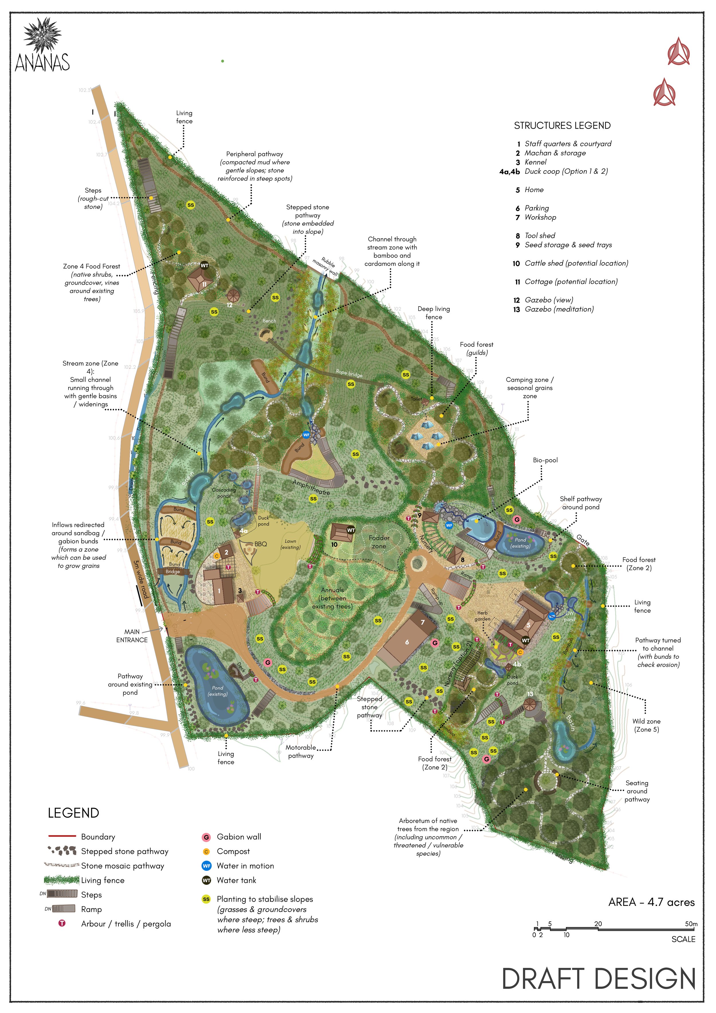
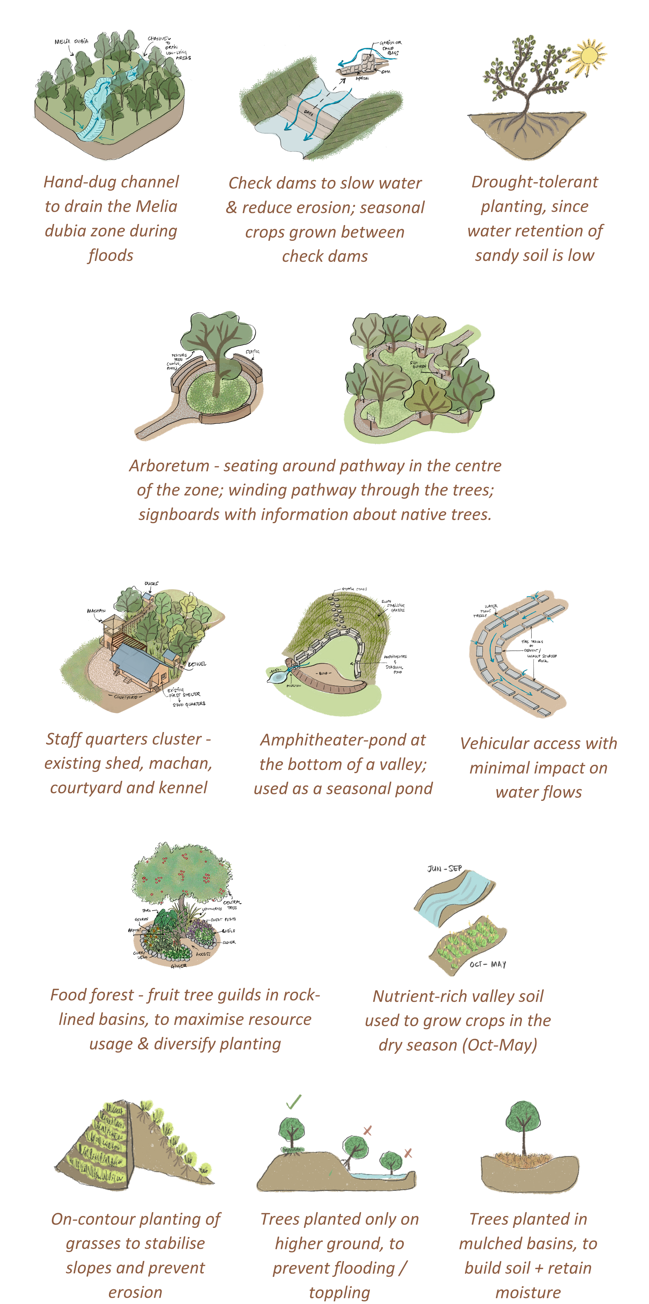
Design details
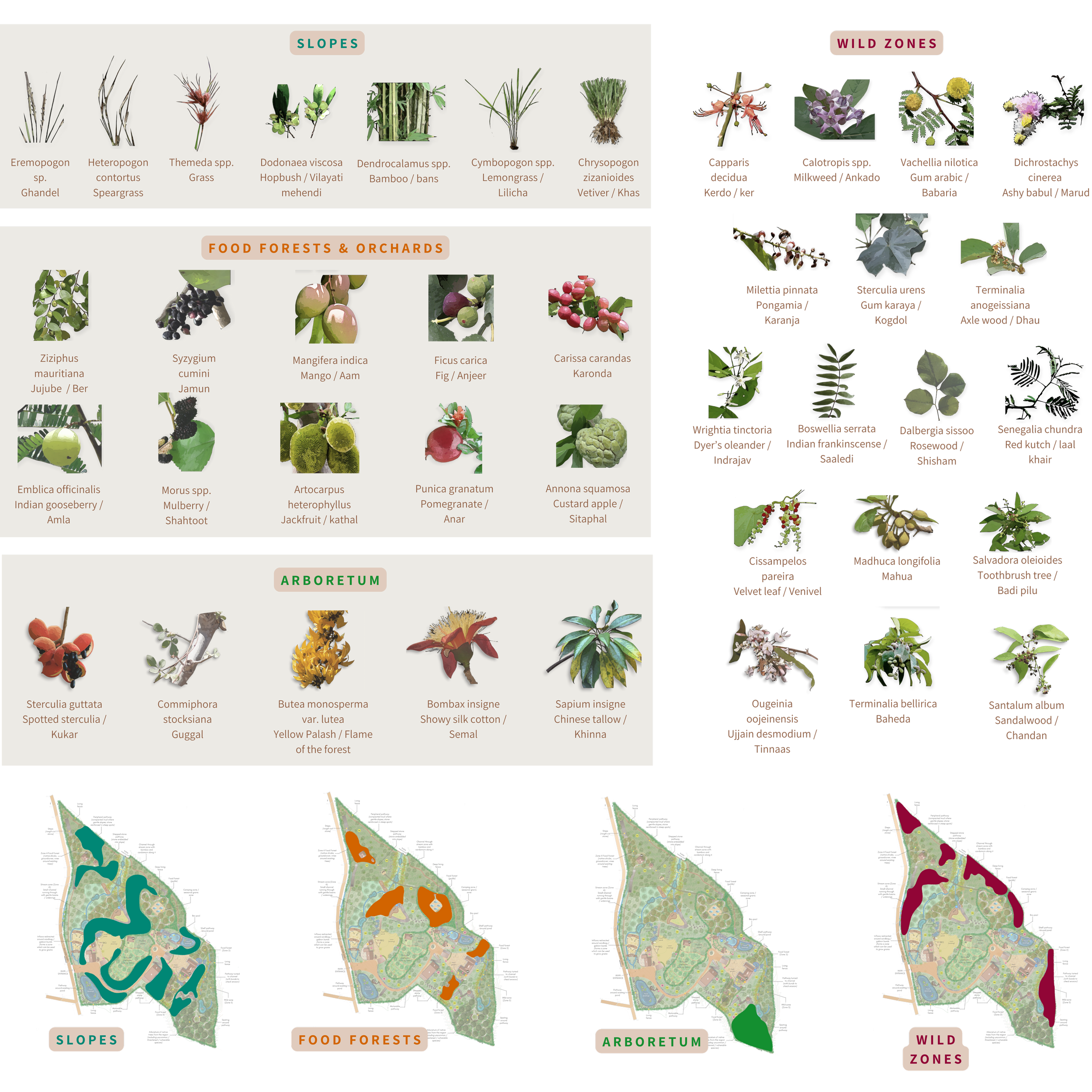
Zone-wise species selection
Site photos

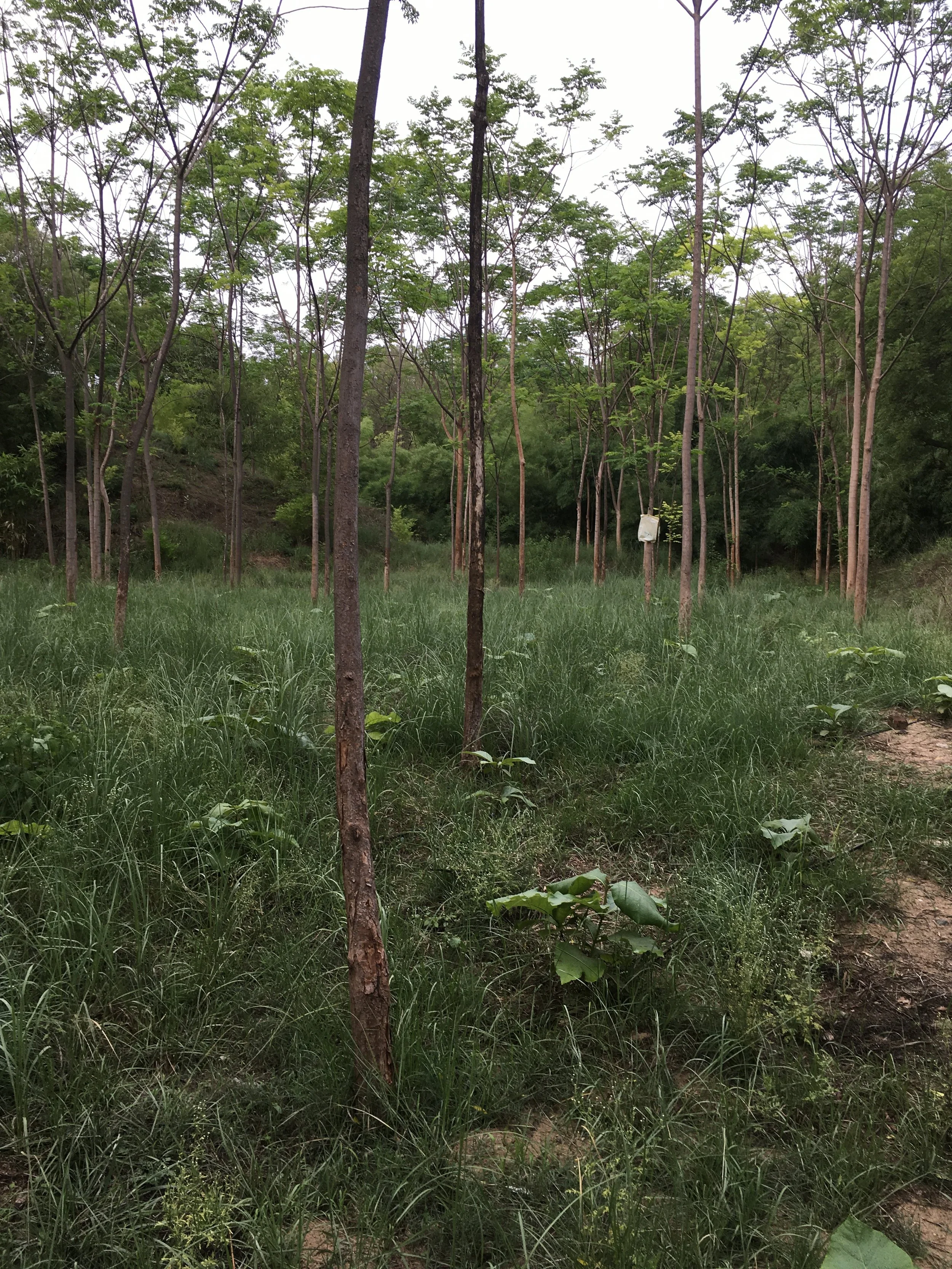
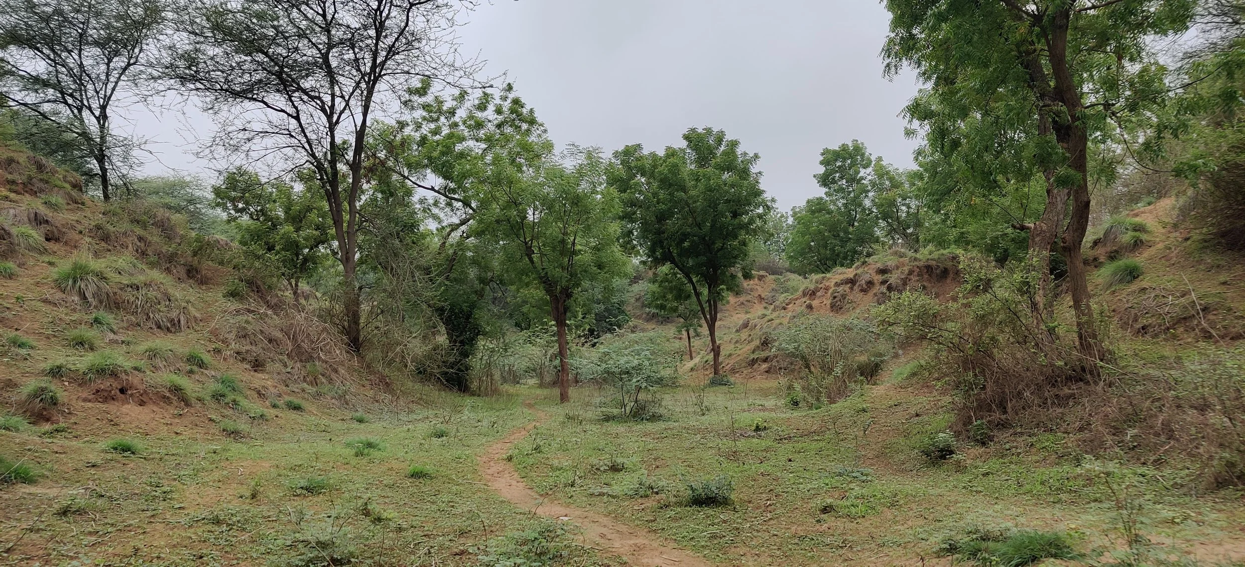
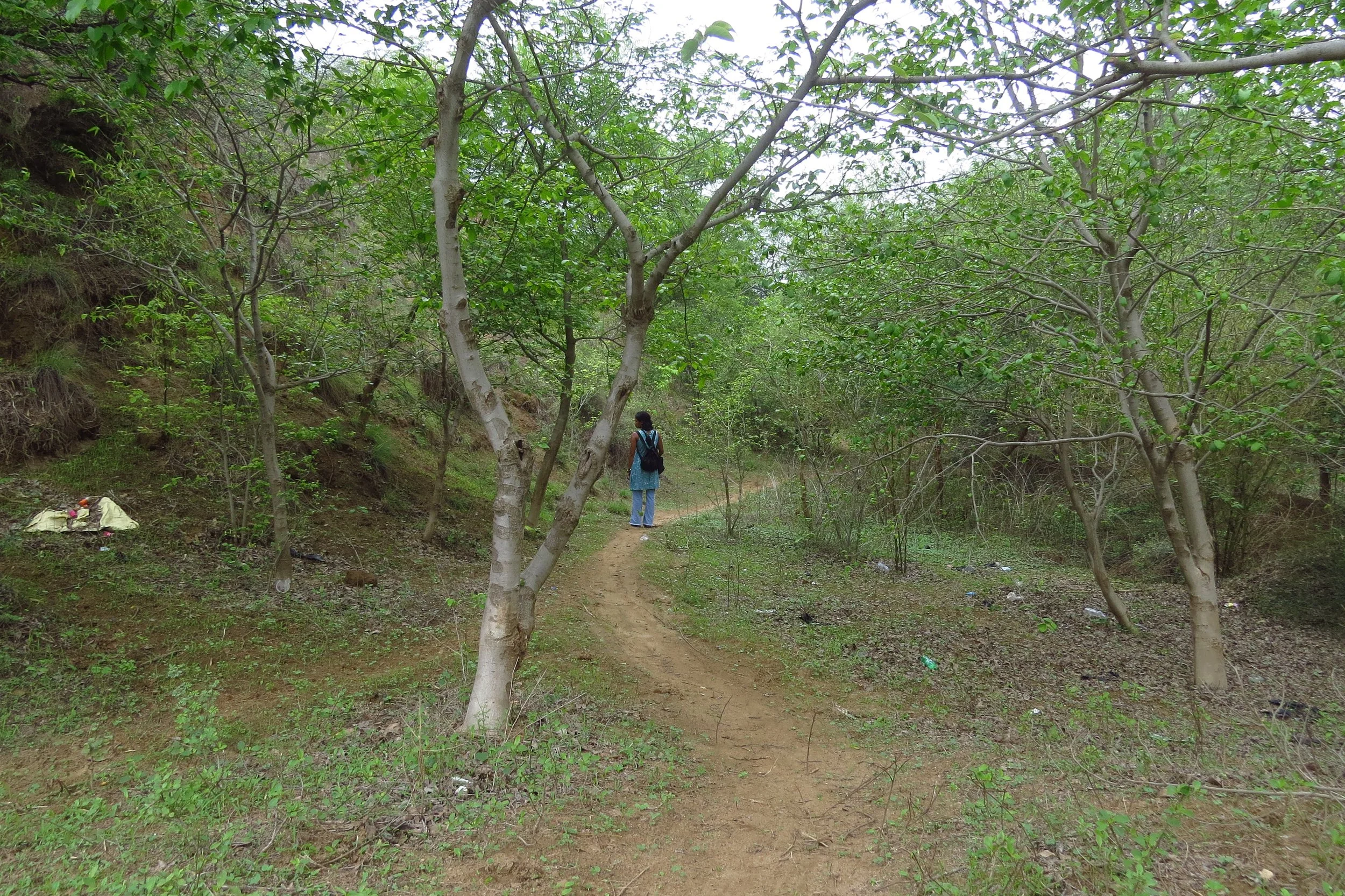
Valley on site
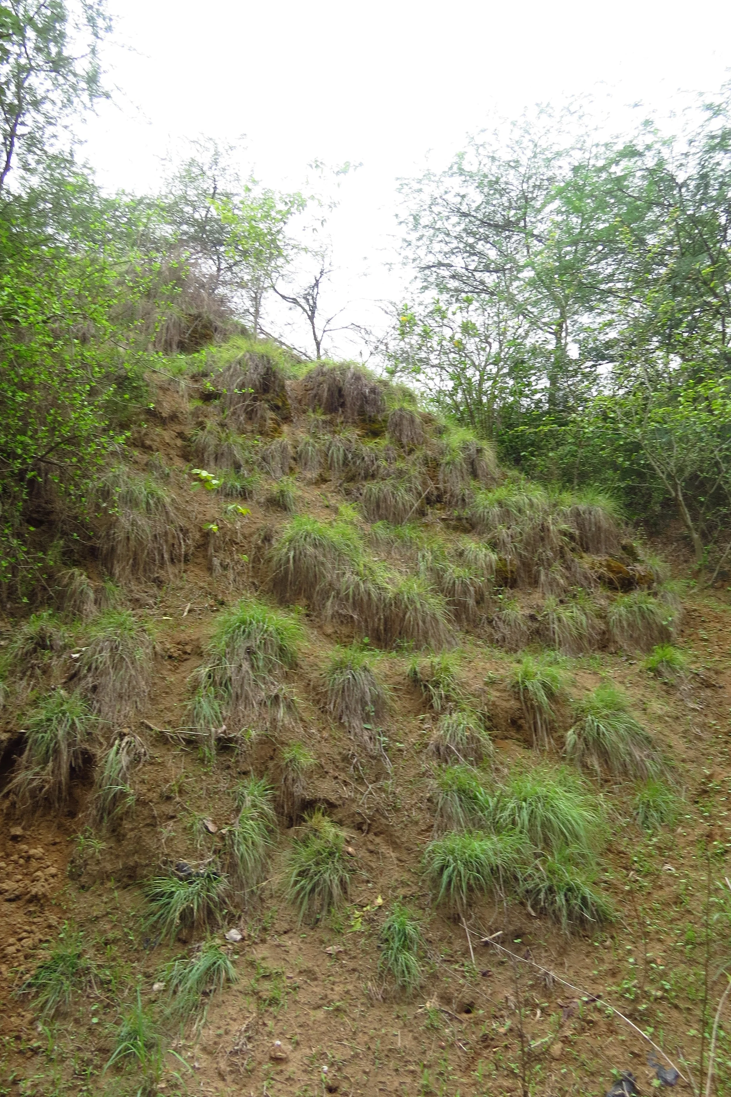
Sandy slopes held by grasses

Prominent valley and water flow
Melia dubia zone (seasonally inundated)

Existing ponds
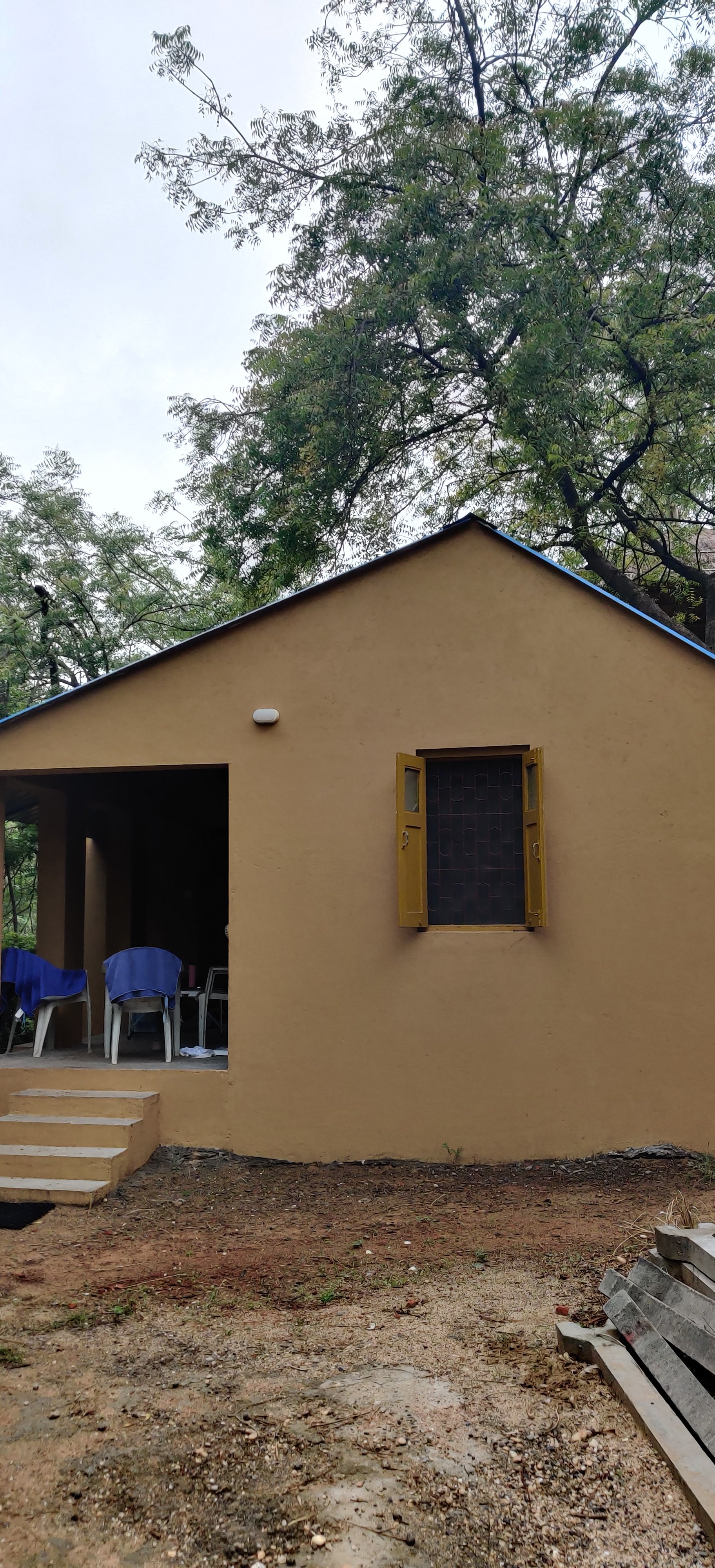
First shelter (staff quarters)
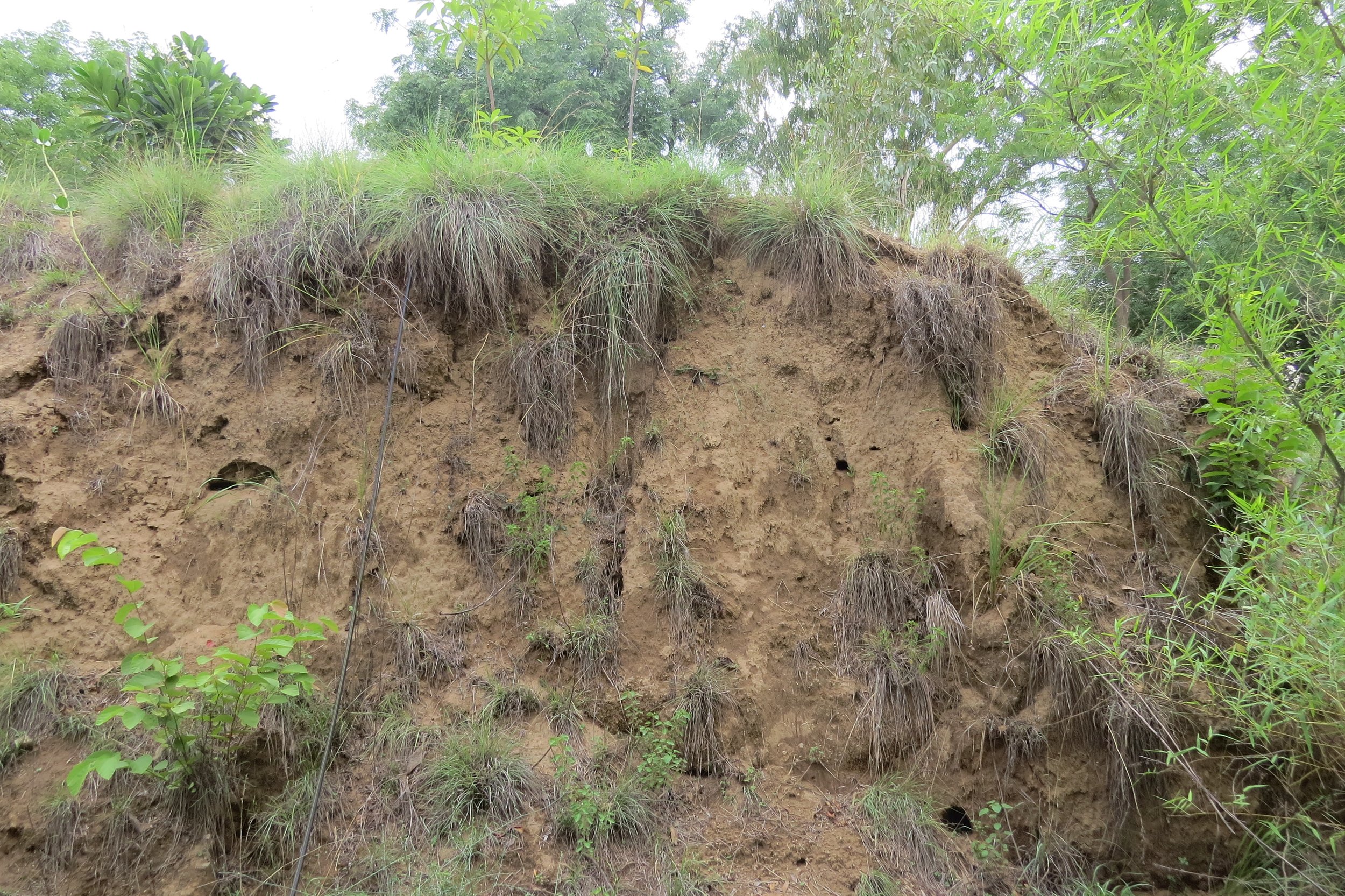
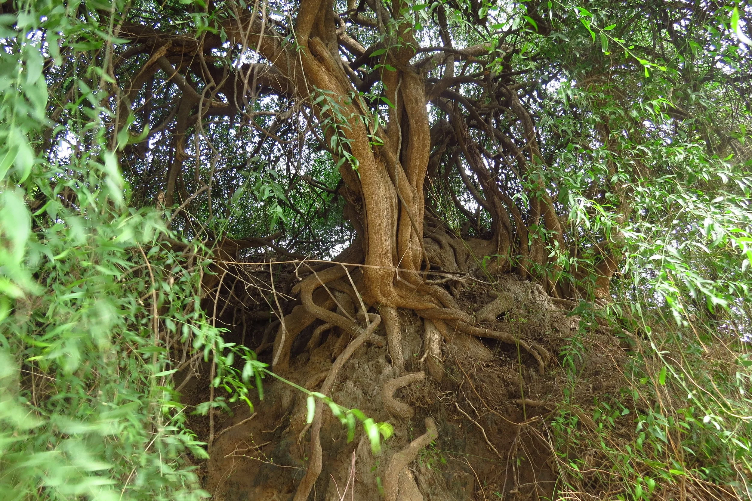
Sandy embankments used for nesting
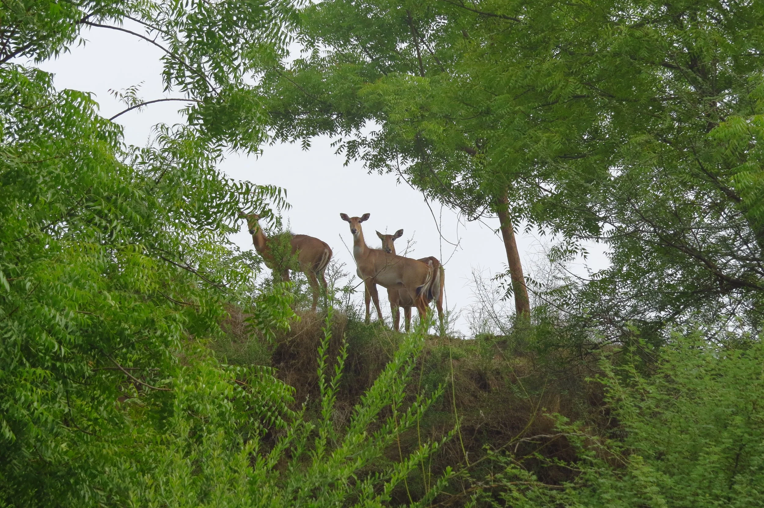
Wild zone near site - dry deciduous forest
Wild zone near site - dry deciduous forest
Salvadora persica
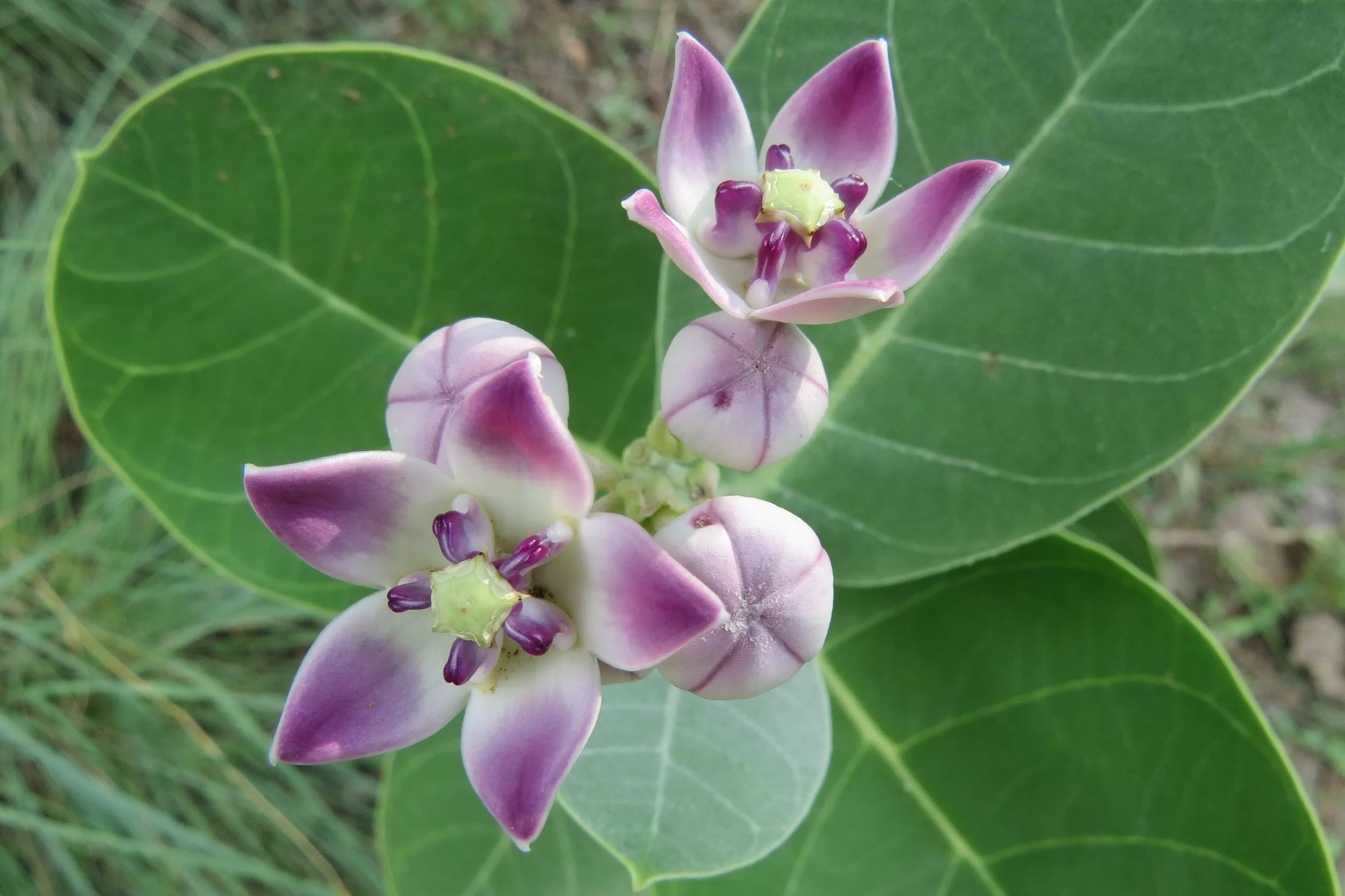
Milkweed (Calotropis gigantea)
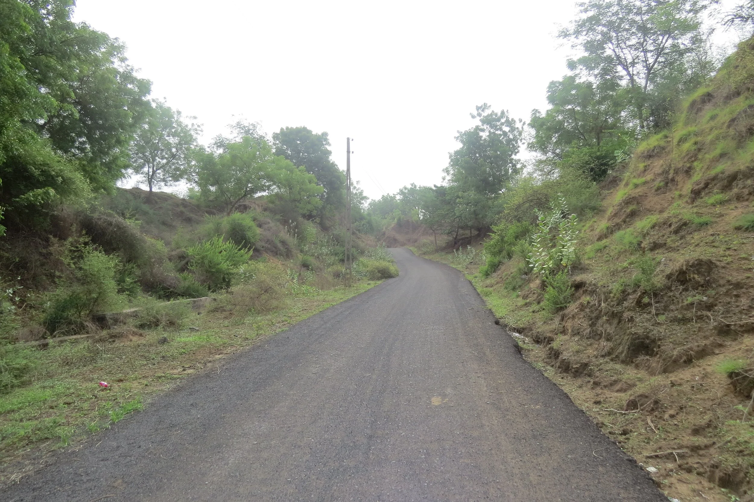
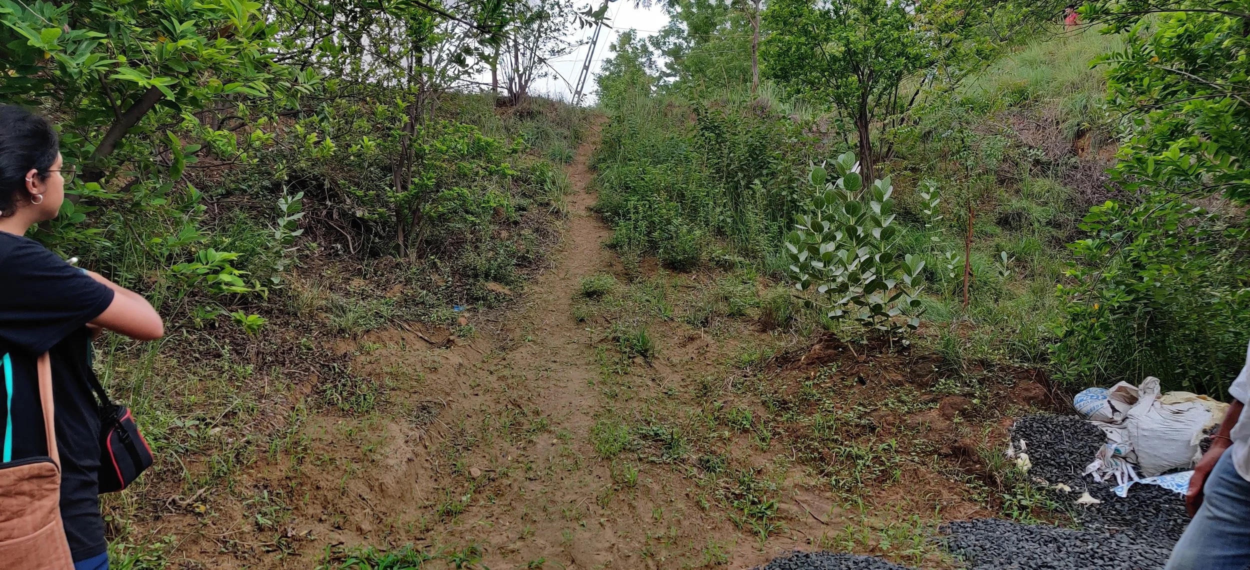
Roads cutting through sandy dunes
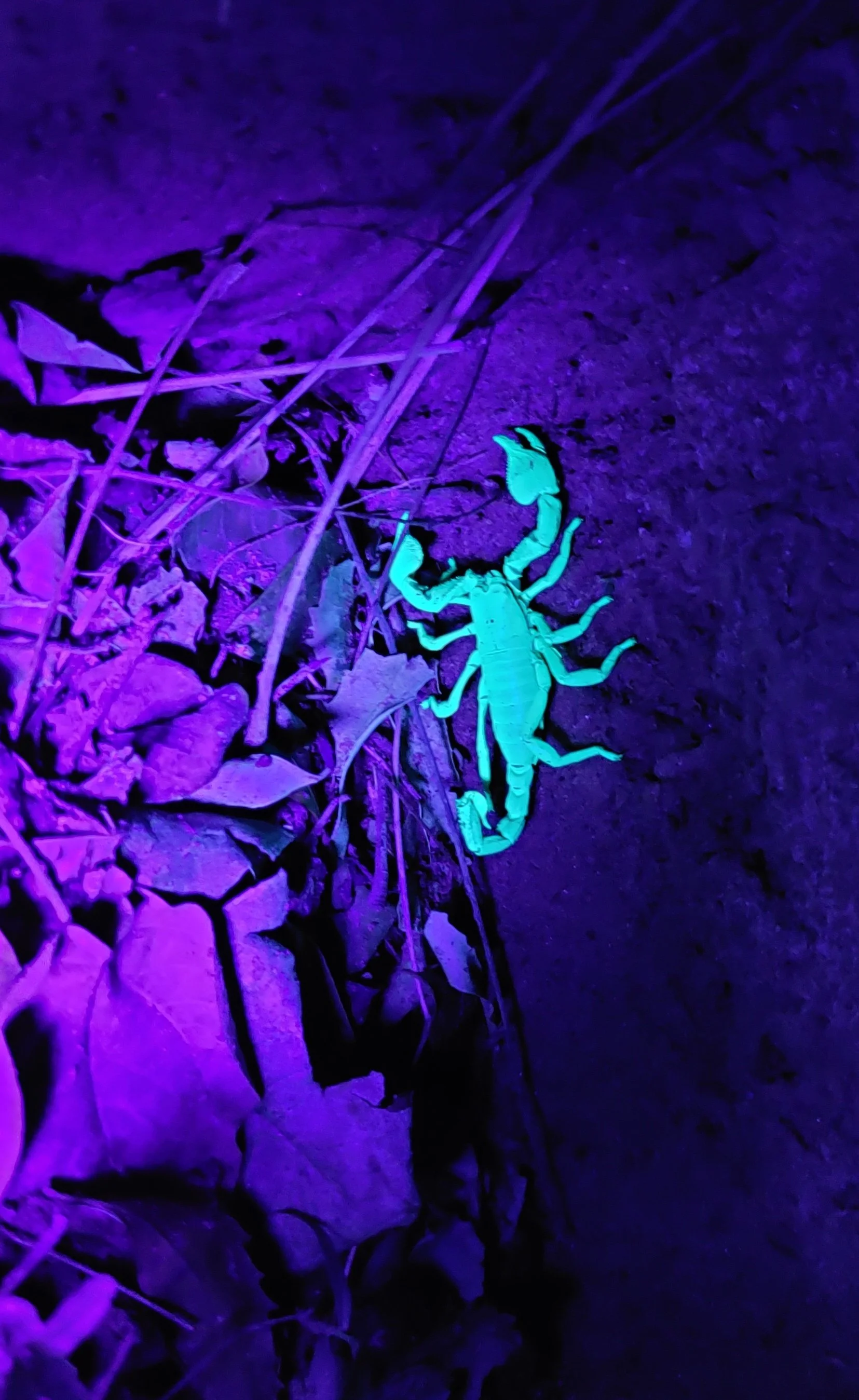
Black forest scorpion
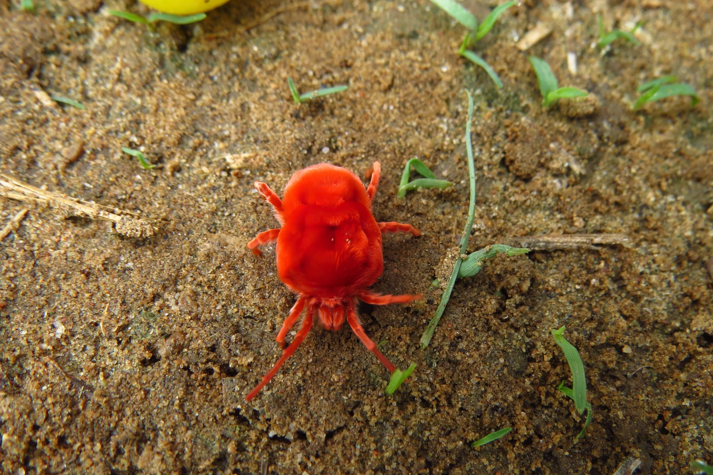
Red velvet mite
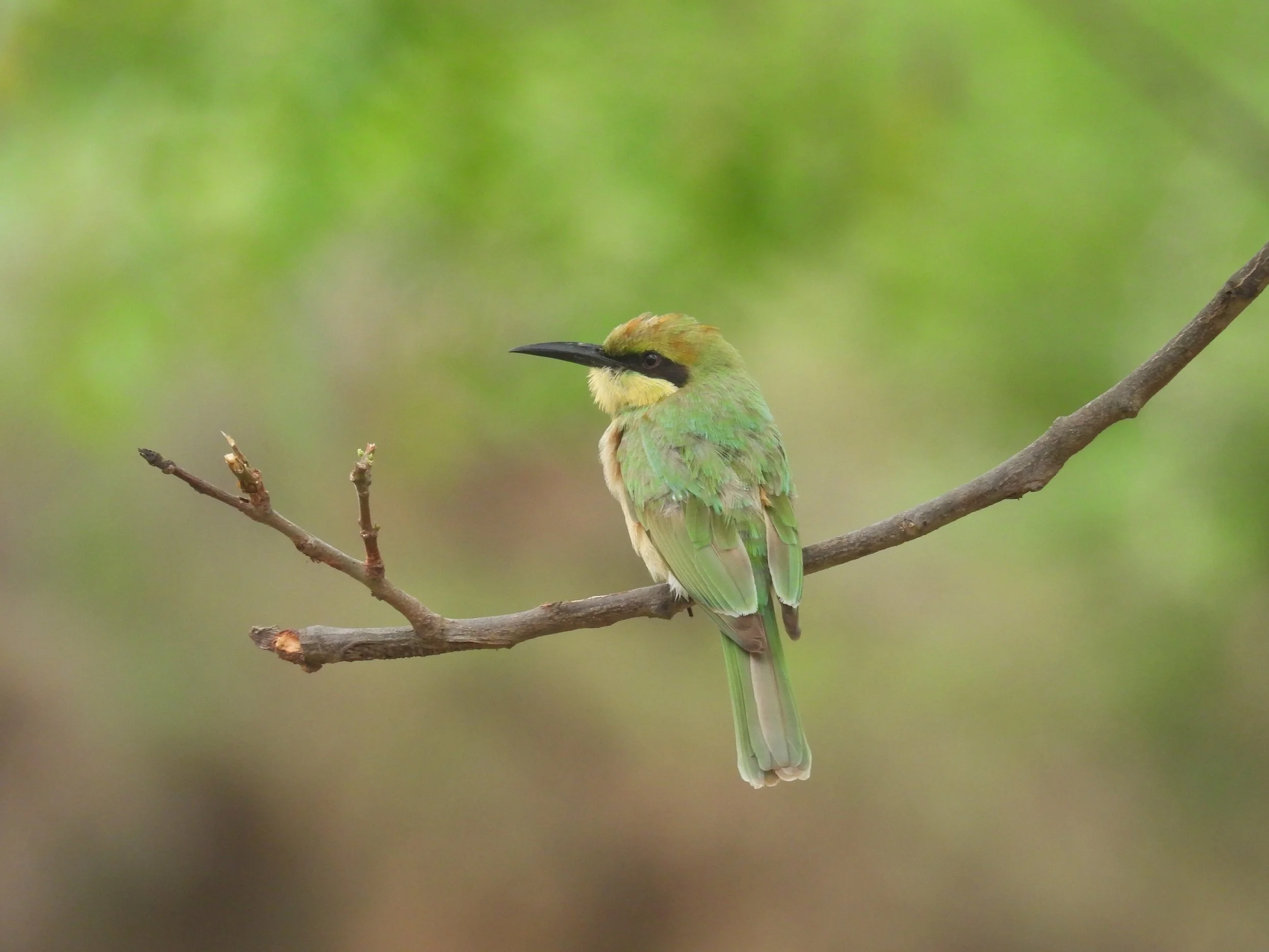
Bee-eater
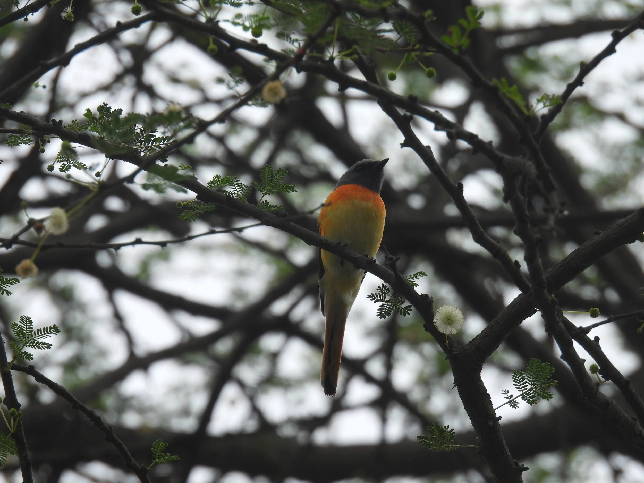
Orange minivet
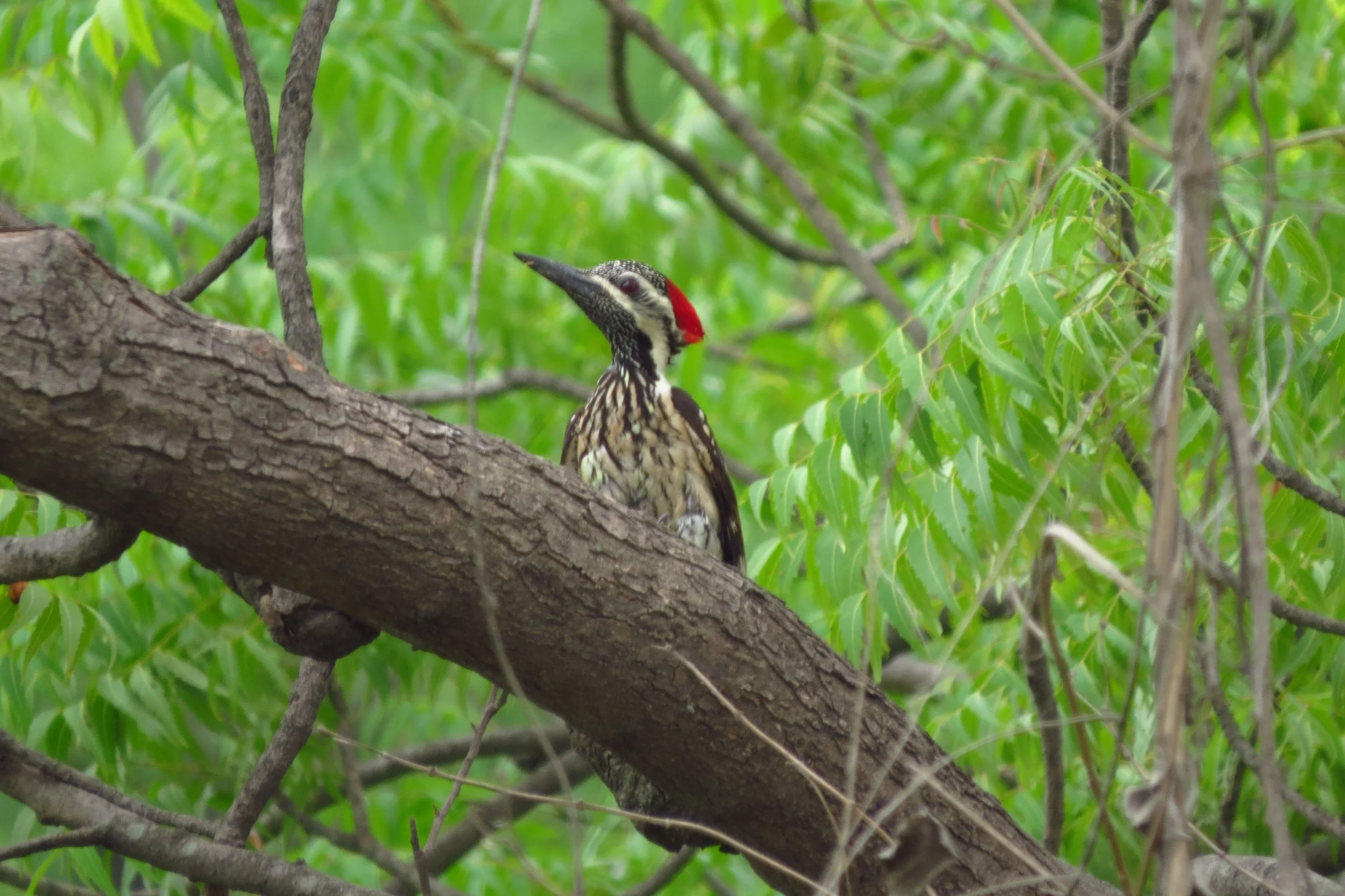
Black-rumped flameback
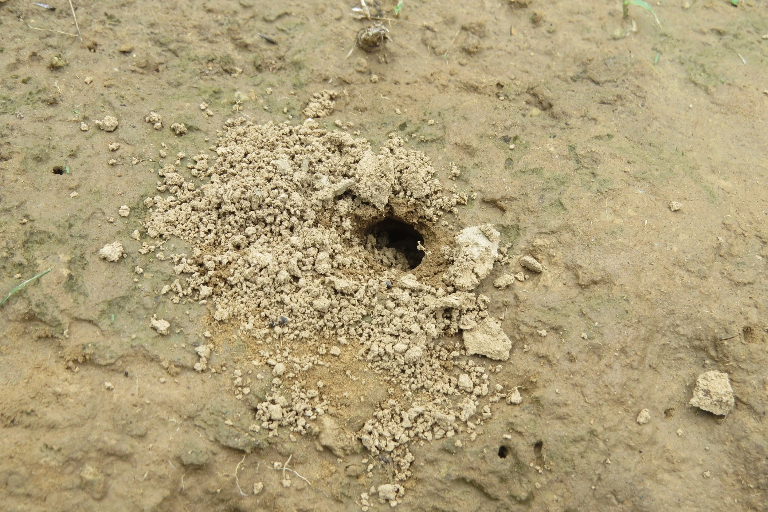
Freshwater crab hole
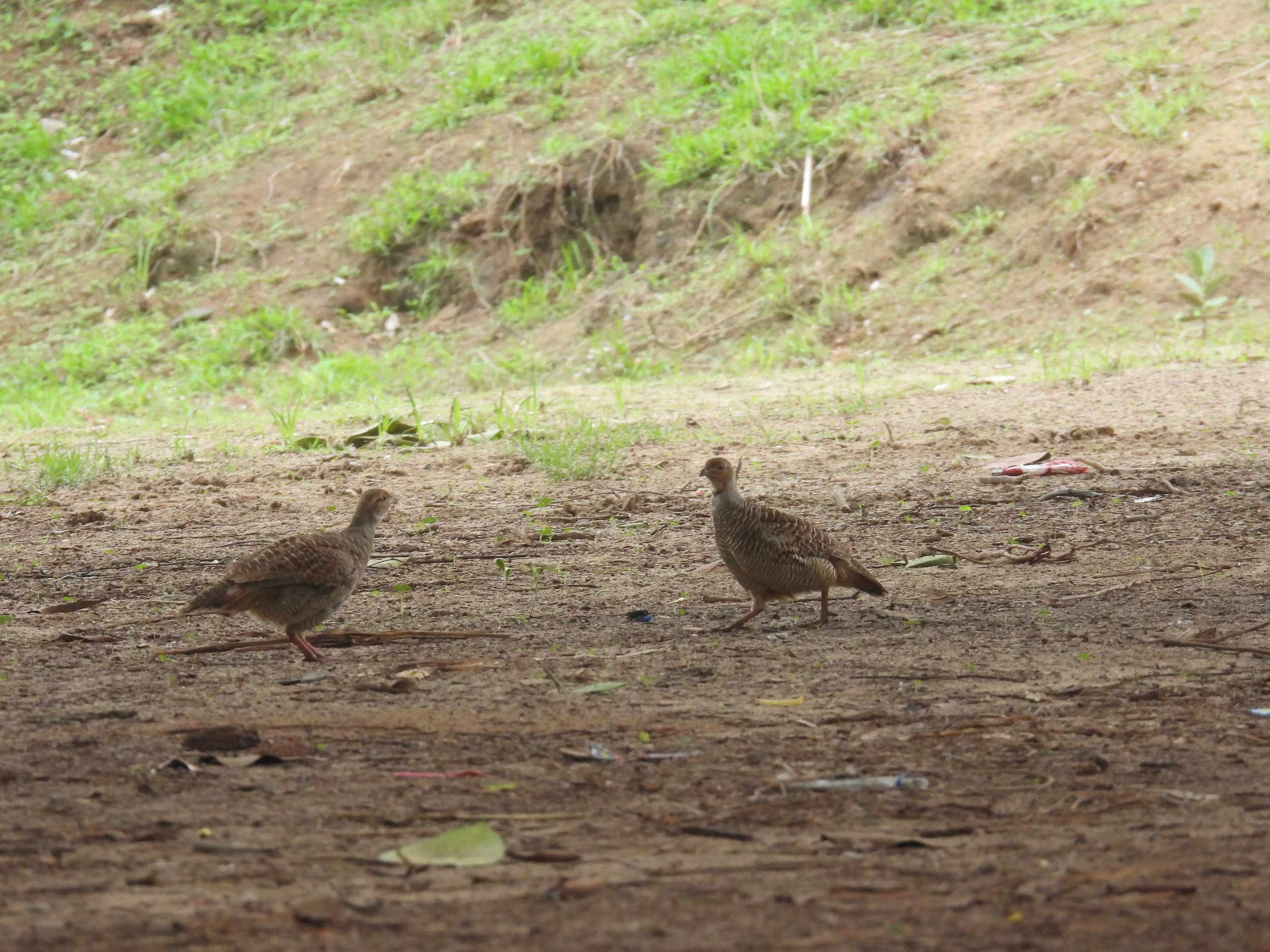
Francolin fight
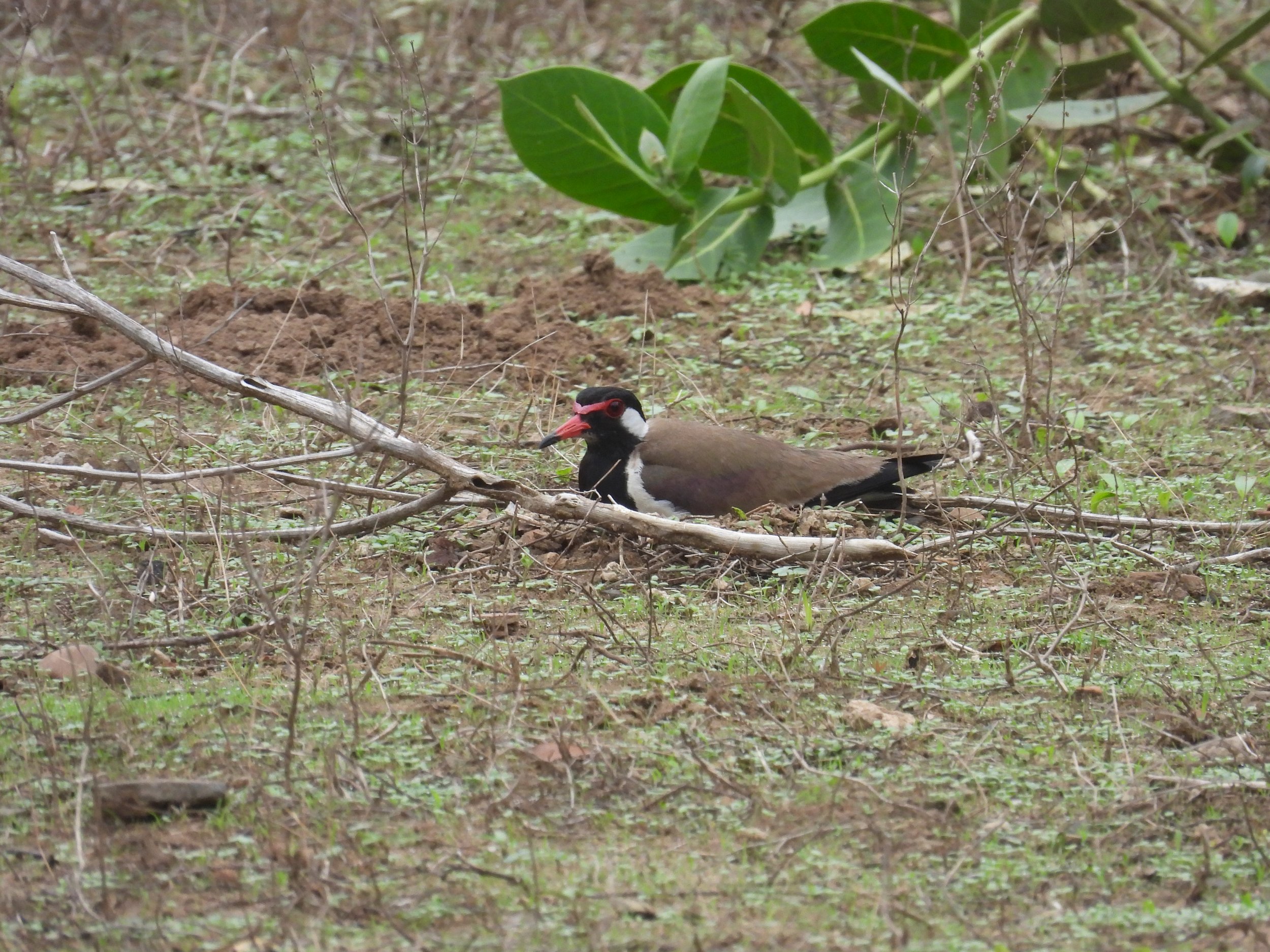
Red-wattled lapwing nesting
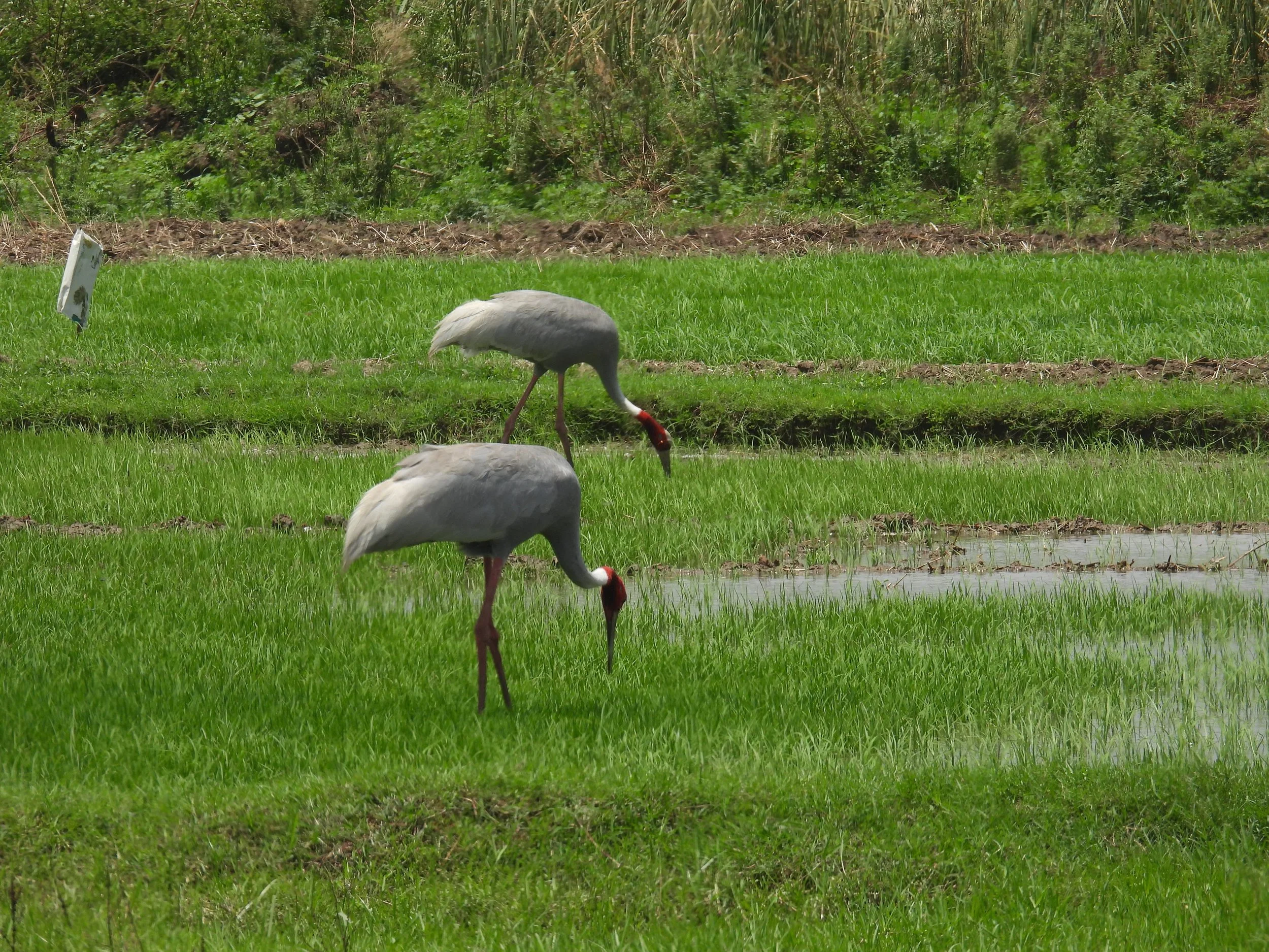
Sarus cranes (agricultural fields near site)
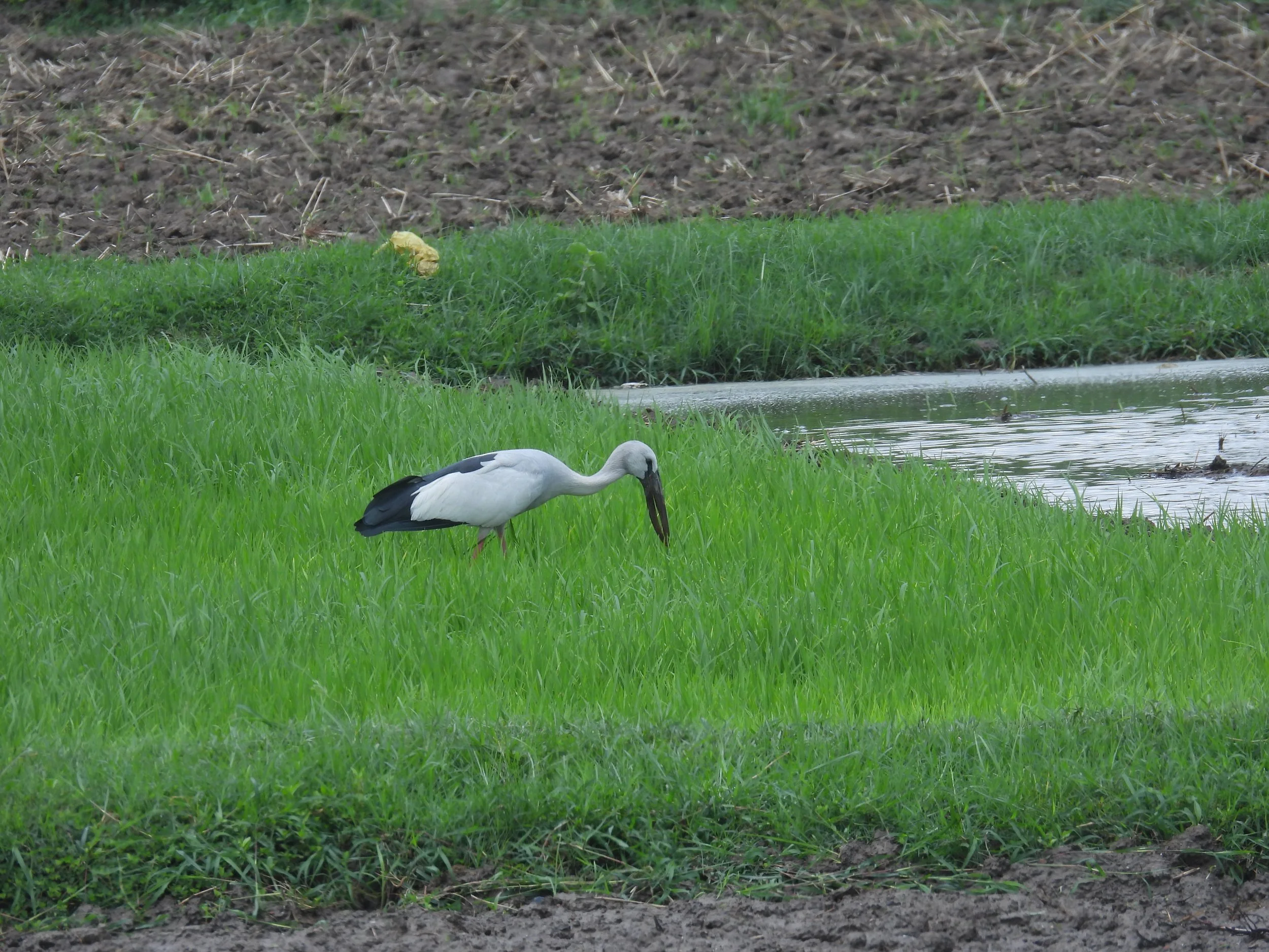
Asian openbill
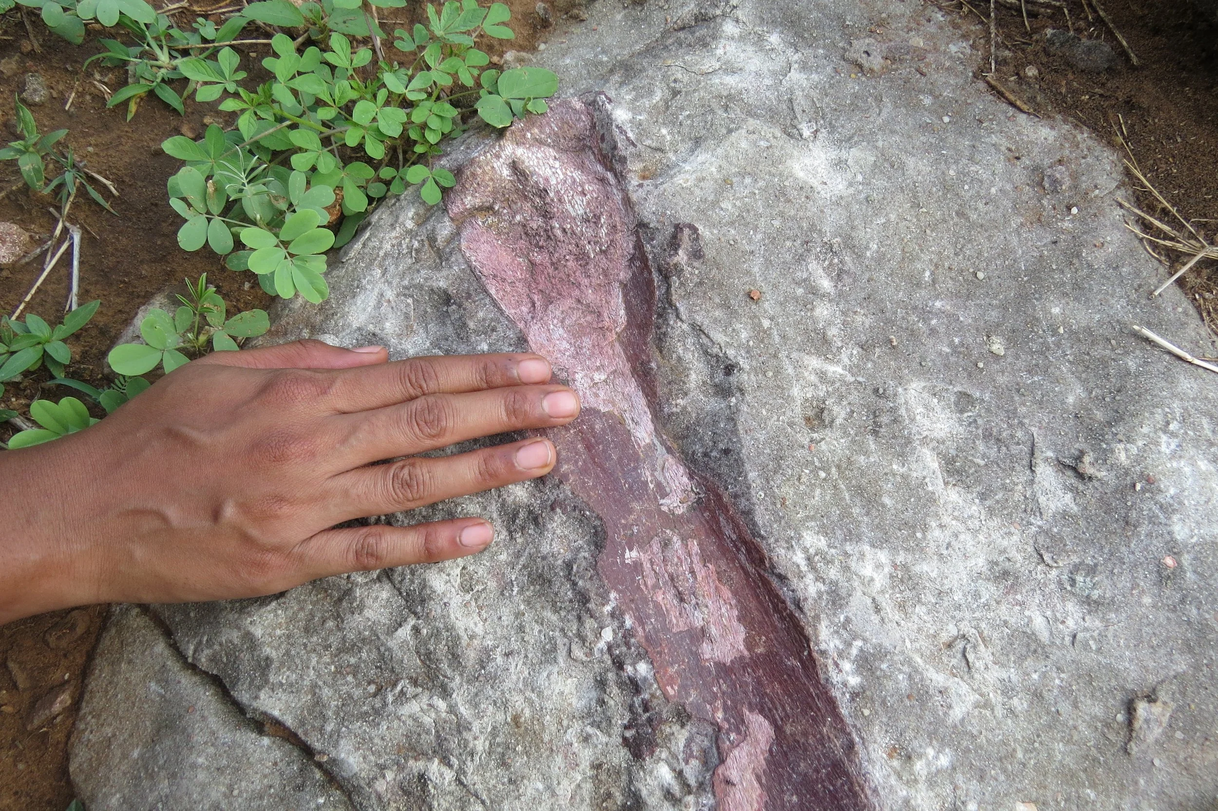
Dino fossil (Balasinor, 2 hours from site)