

Mianpur Farm
Project size: 3.5 acres
Shivalik foothills, near Chandigarh, India
May to July 2025
Key features: Syntropic agroforestry, food forest, slope stabilisation, riparian zone, seasonal stream, ponds and basins, on-contour earthworks, timber zone
Project team: Varun Behroonani & Sanjana Radhakrishnan (Project co-leads); Theertha Ravindran
Elevation: 375 metres above sea level
Annual rainfall: 1322mm / 52 inches
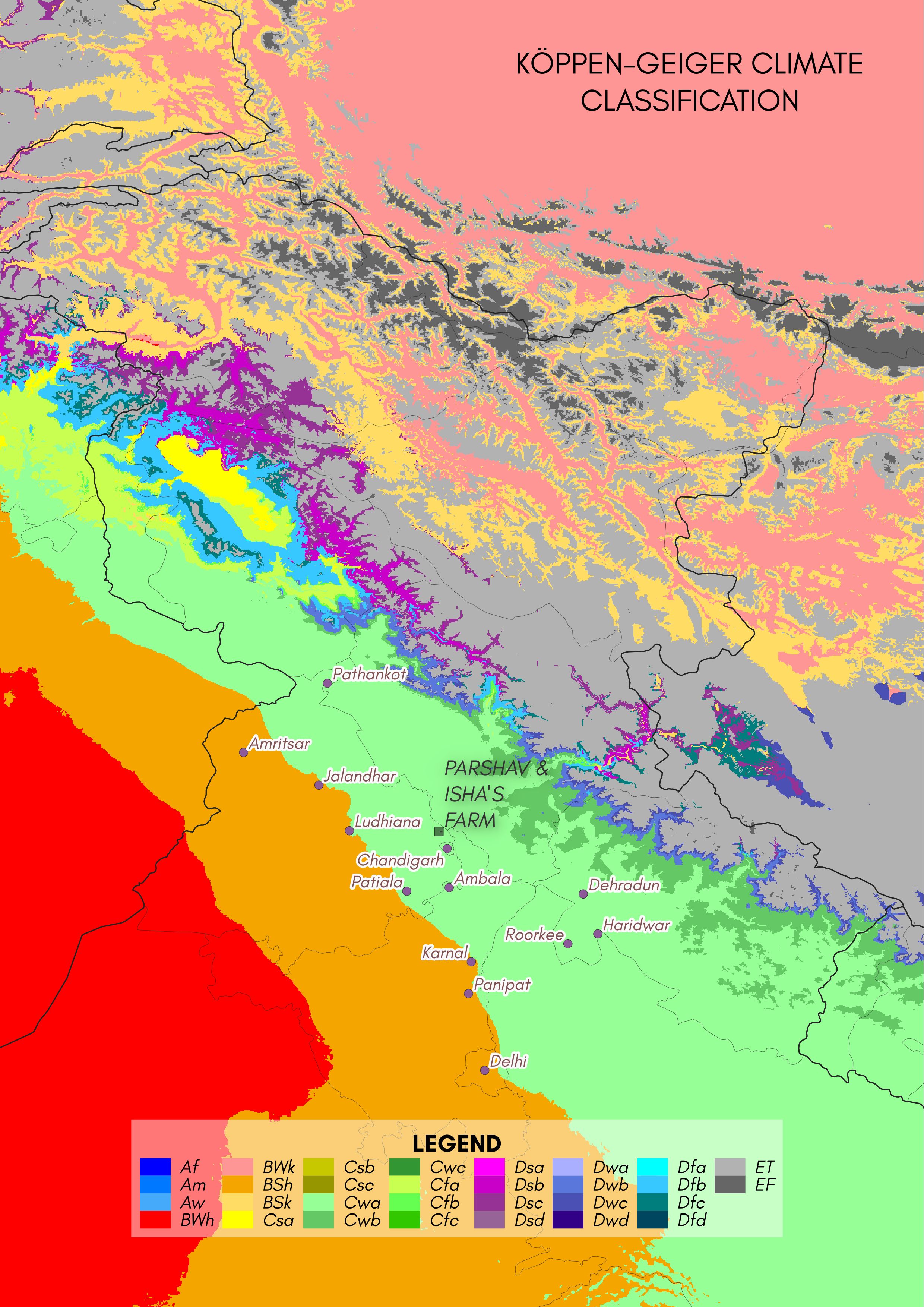
Climate: Temperate climate with dry winters and hot summers
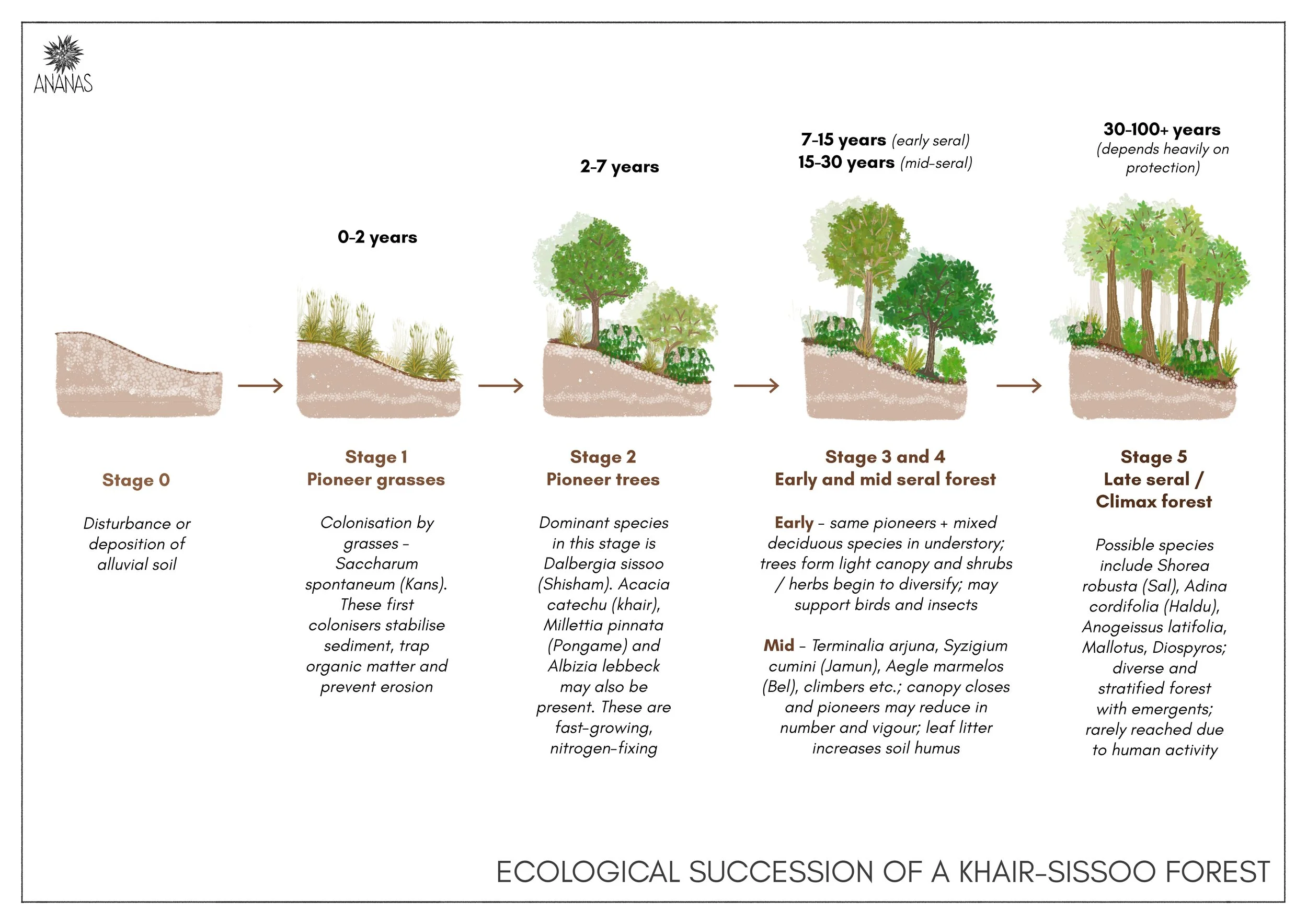
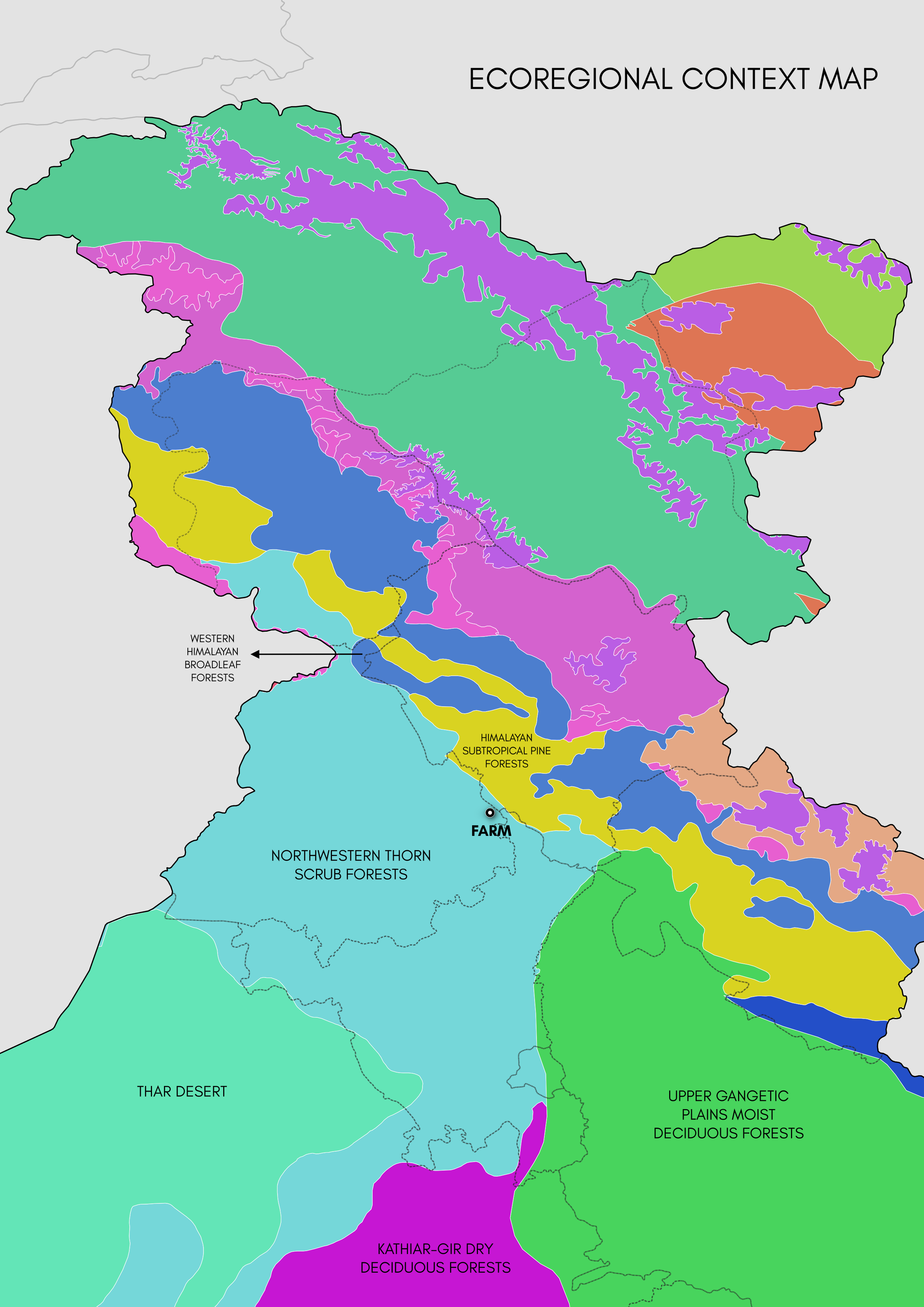
Bioregion: Khair-sissoo forests
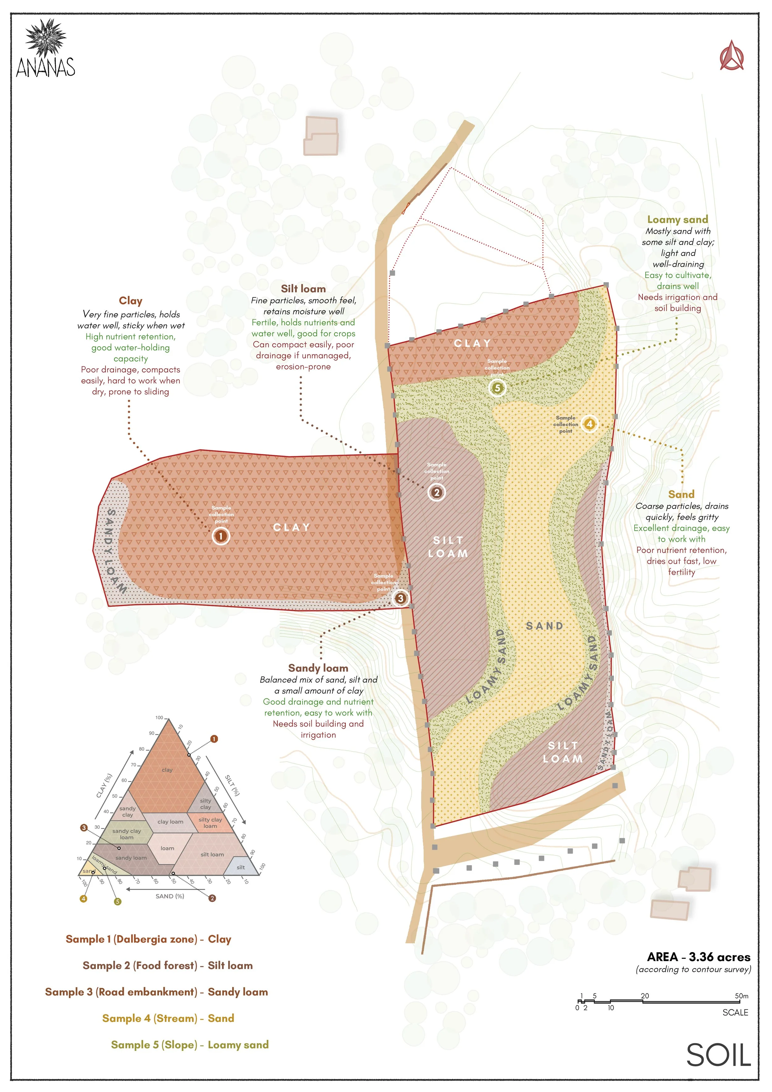
Soil types: Clay, silt, loam
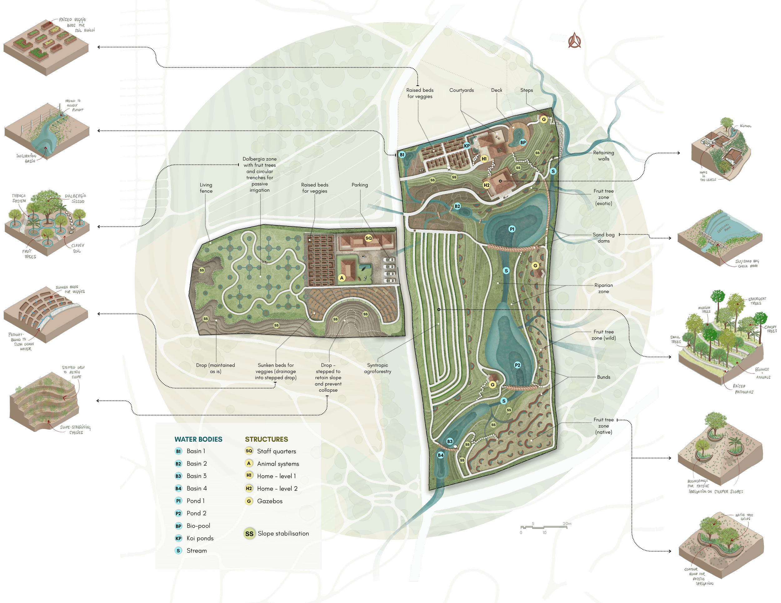
Masterplan
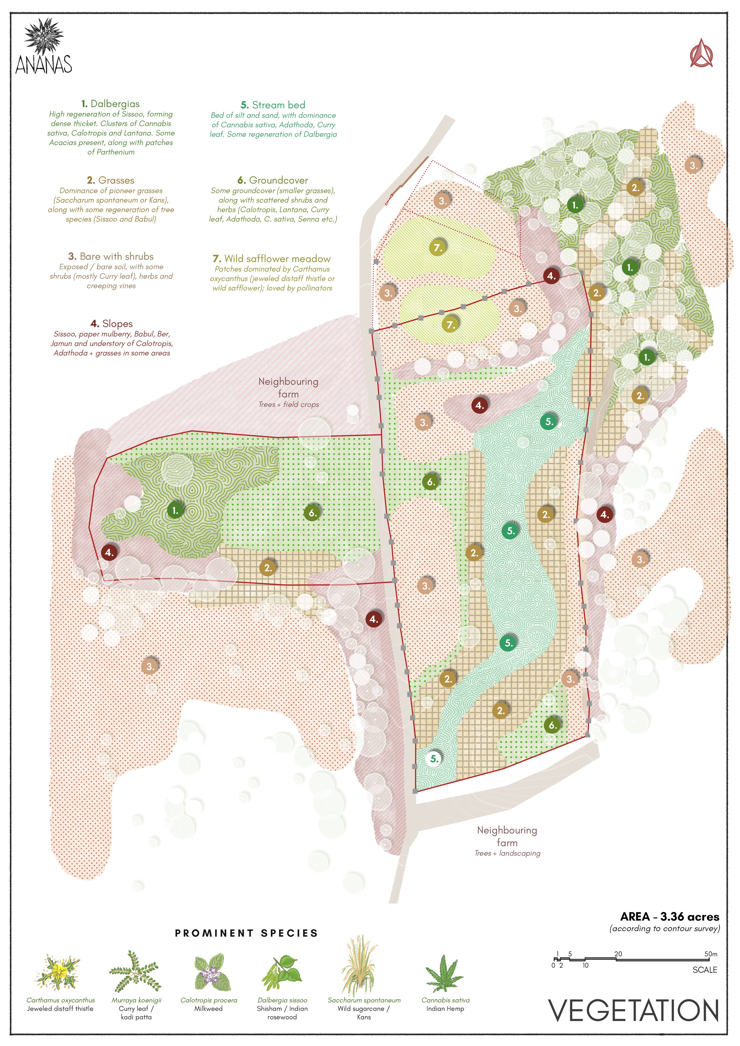
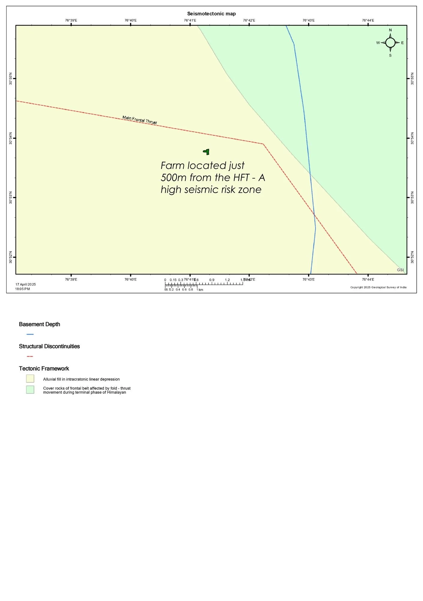
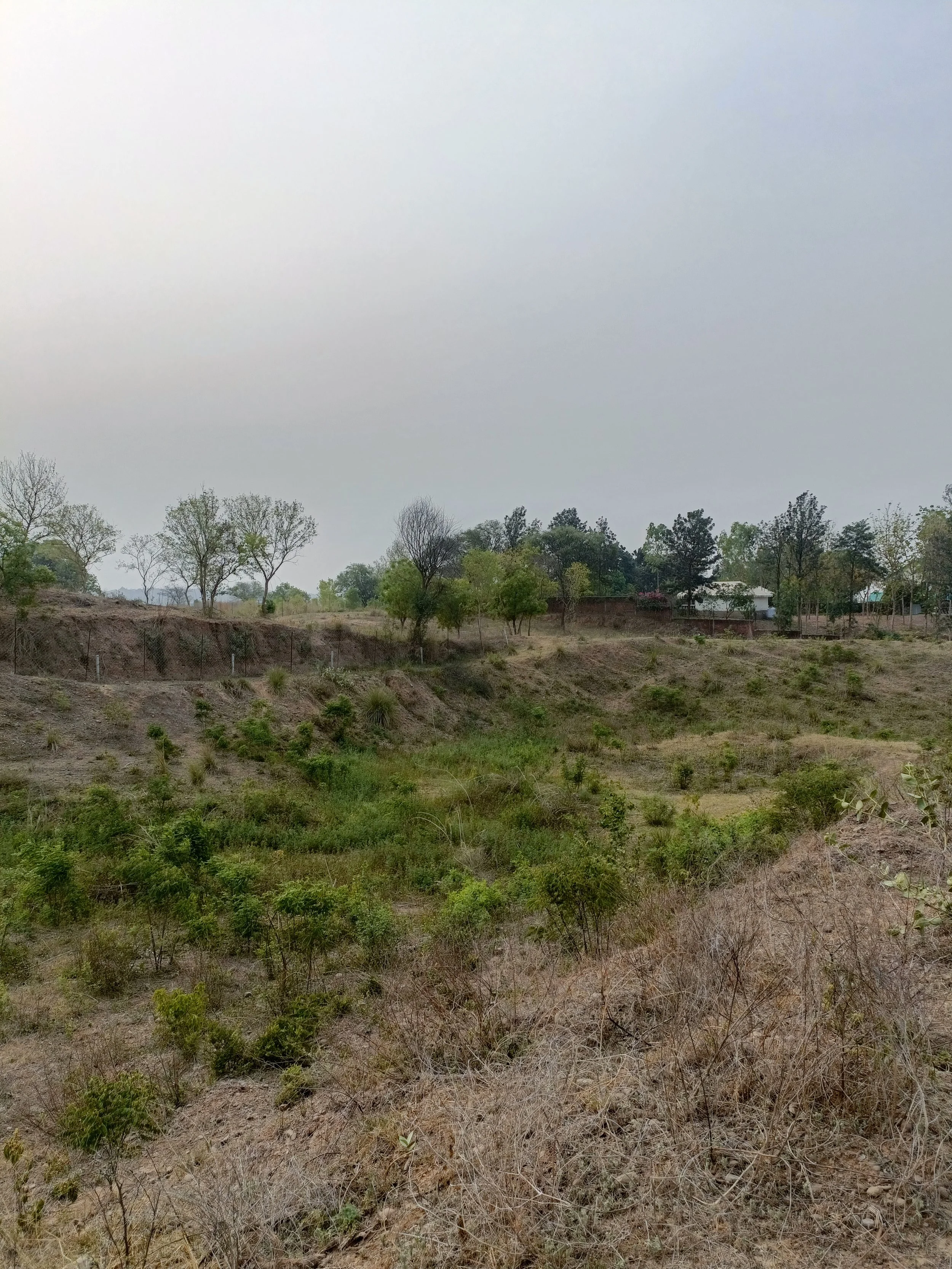
The farm was designed as an integrated landscape where food production and ecological restoration reinforce each other. Zoning followed native vegetation, soil conditions, and natural water flows across the site. Flatter areas were used for cultivation and buildings, while grasses and earthworks were recommended to stabilise steeper slopes. A sediment-carrying stream was treated as an asset, with silt-bag check dams suggested to slow down water, trap silt, and improve groundwater recharge.
A clay-rich zone with existing Dalbergia sissoo (Rosewood / Shisham) trees was designed as a productive food forest. The Dalbergias were proposed to be pruned into a managed canopy, retaining them as a long-term timber resource while introducing fruit trees. An interconnected trench system was planned to provide irrigation while preventing waterlogging around roots.
The main tree-based production area was designed as a syntropic agroforestry zone to maximise space and vertical layering. Native food forest guilds were placed along the site edges, supported by passive irrigation structures such as boomerang bunds.
The home was organised across two levels, with living spaces above and private rooms below. A retaining wall system was suggested to hold the slope in place while forming the home’s lower level.
A steep western precipice was reshaped into stepped terraces planted with native grasses, Acacias, and Albizias to secure the soil. Here, vegetable gardens were designed as sunken beds to reduce irrigation needs and limit soil loss during heavy rains, as well as to prevent material loss in case of sudden collapse of the cliff in case of seismic events. Elsewhere, raised beds were recommended based on soil conditions and long-term soil building goals.
Native pollinator gardens were distributed across the site to support both conservation areas and food production zones.
Environmental Study
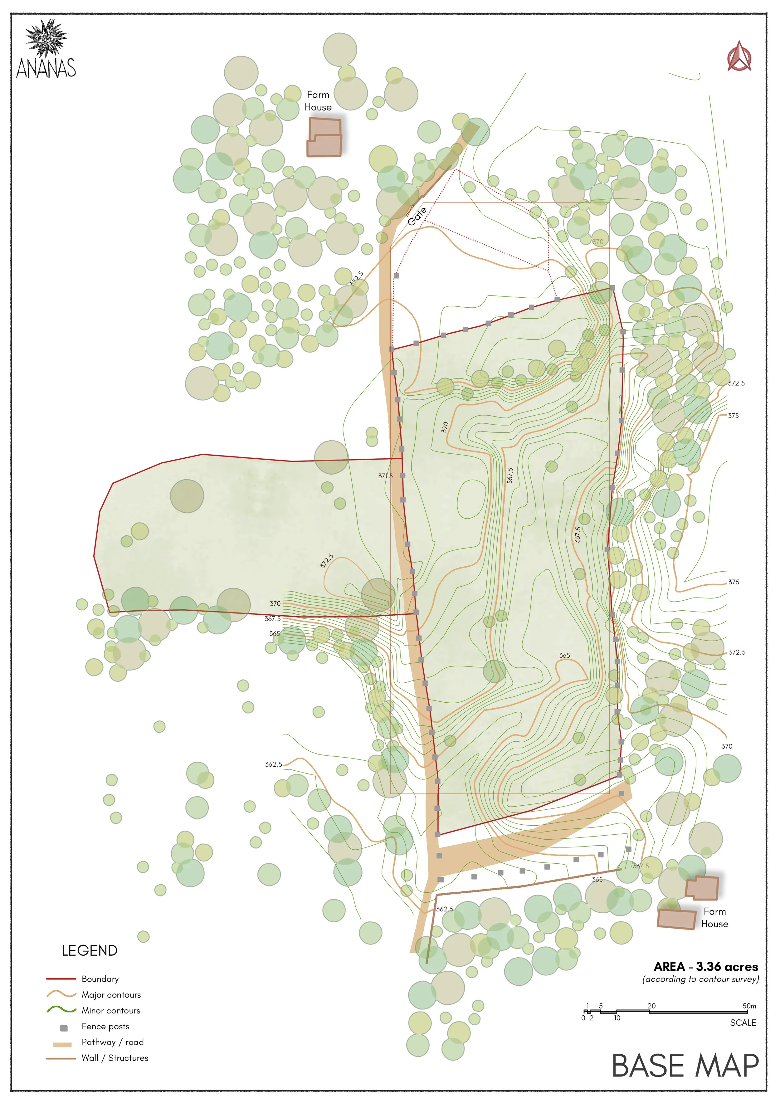
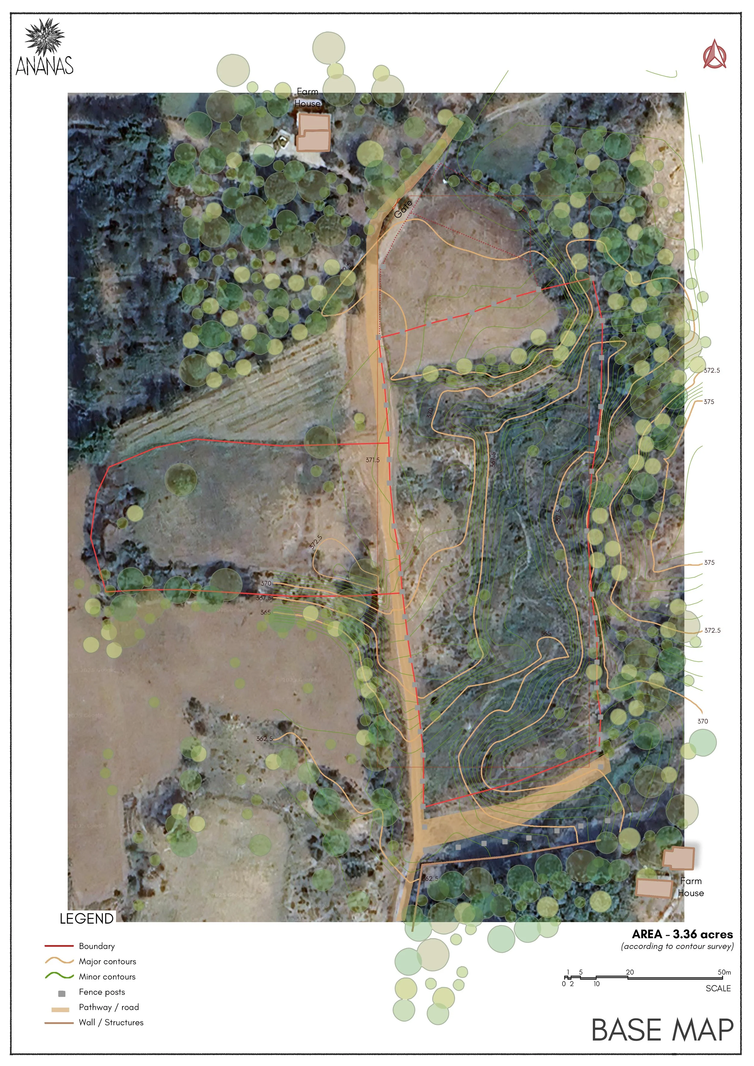
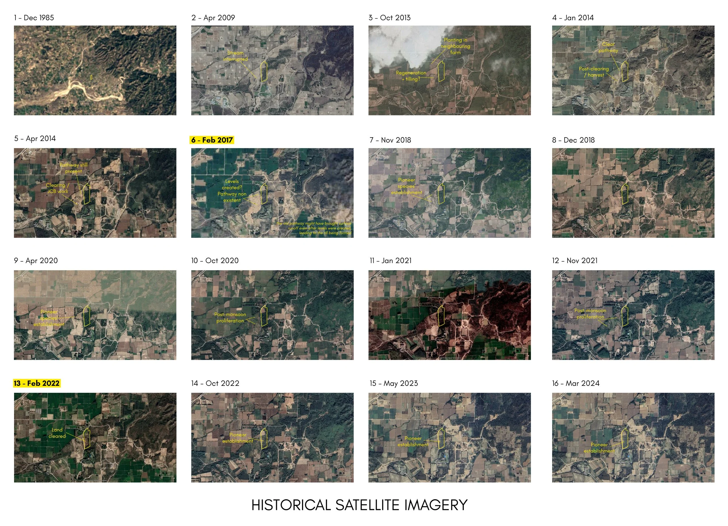
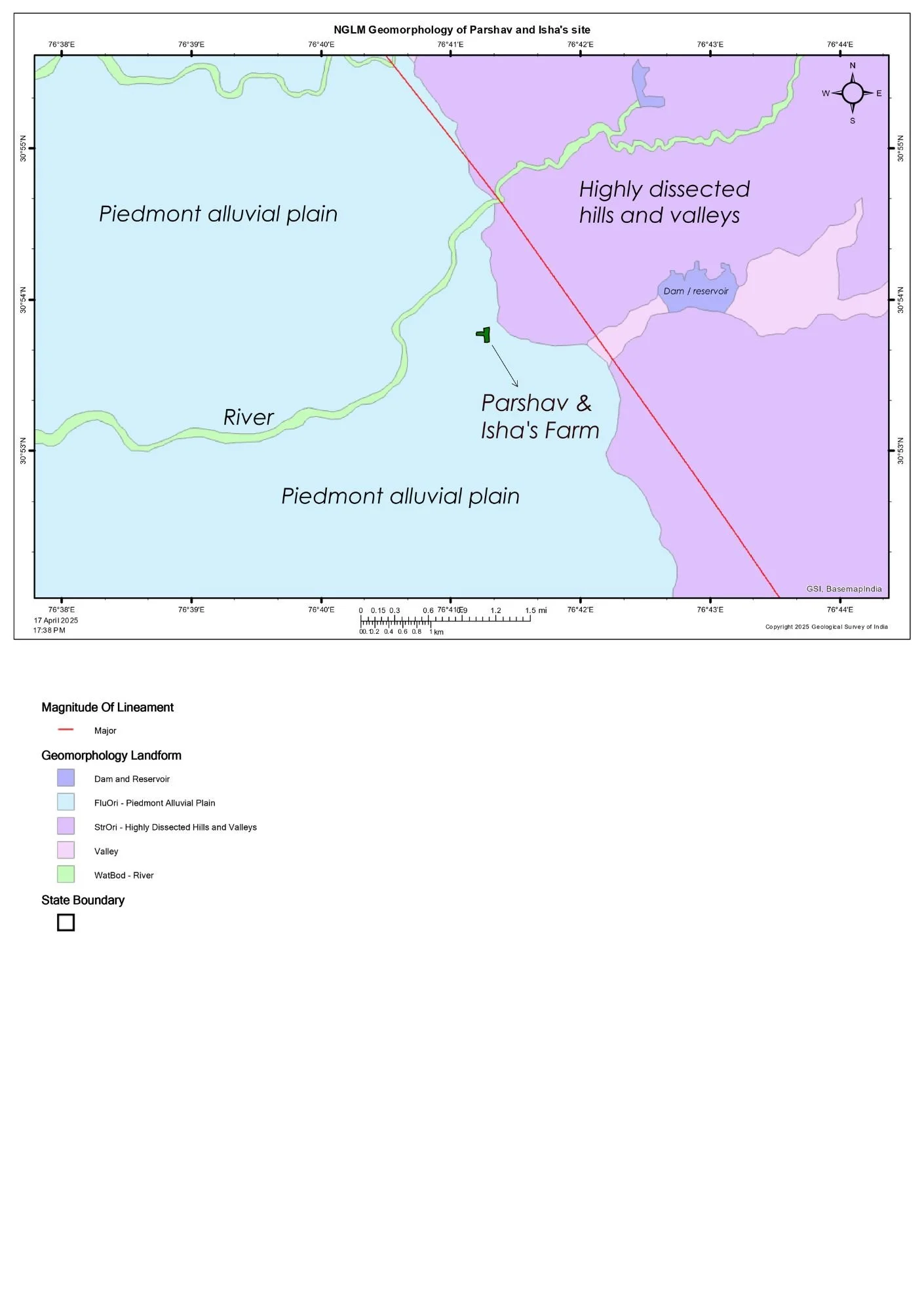
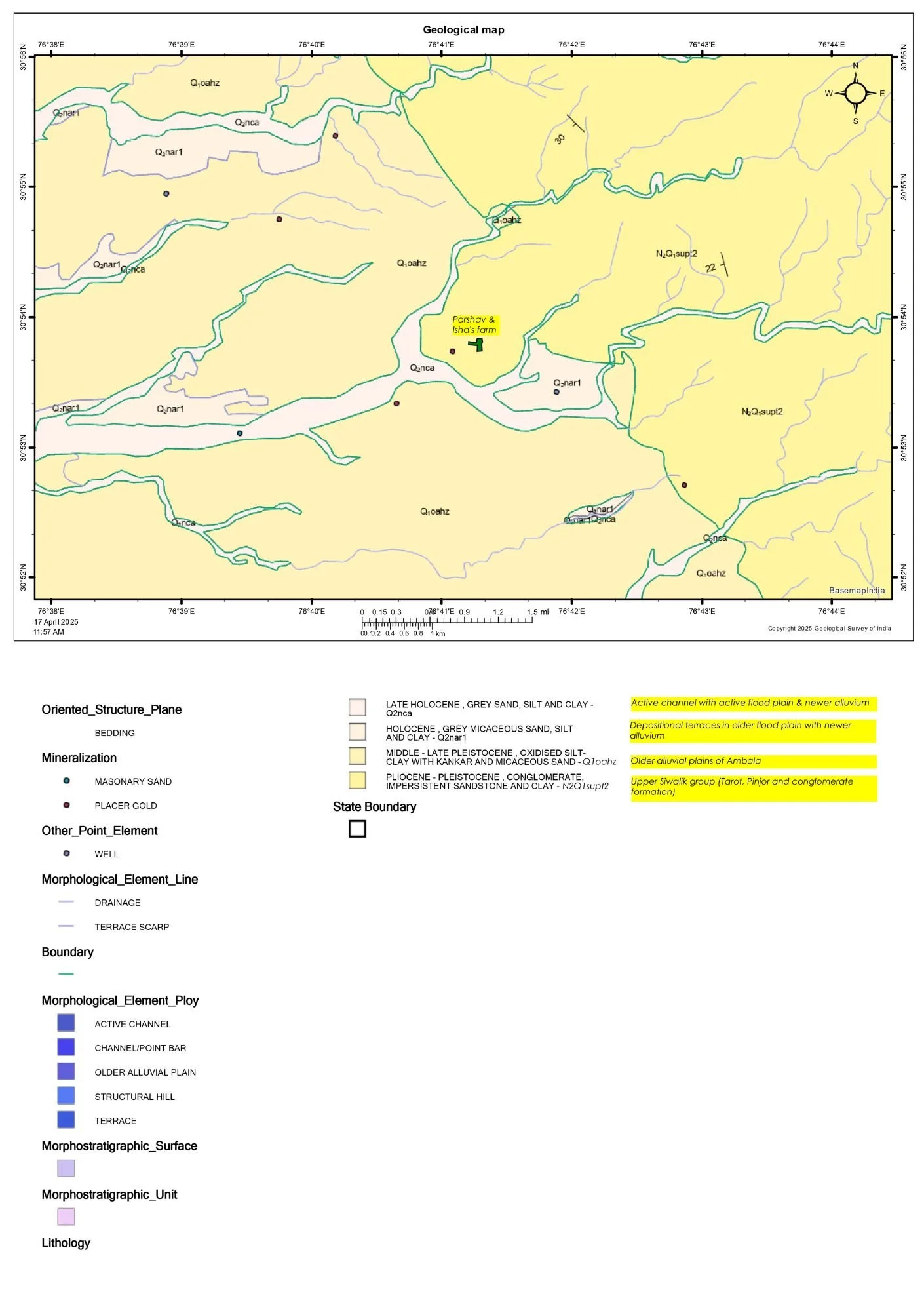
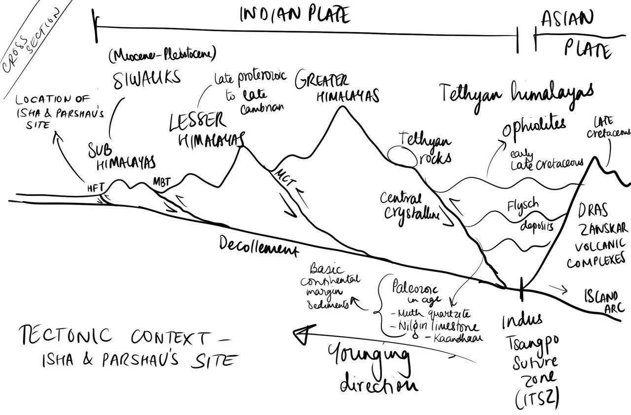
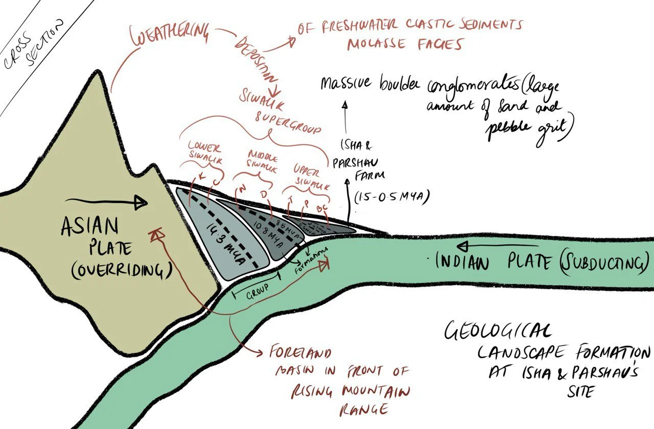
The site was assessed through on-ground surveys and verification of contour maps. We documented topography, dominant species, soil patterns, sun paths, and fauna to build a clear ecological picture. Reference ecosystems were also visited to understand the wider bioregional context. In parallel, climate patterns, geology, geomorphology, and local flora and fauna were studied through existing literature and GIS information. Together, this research built a strong understanding of site dynamics and informed a well-rounded plan for the land.

Site view from NW
Site view from SE
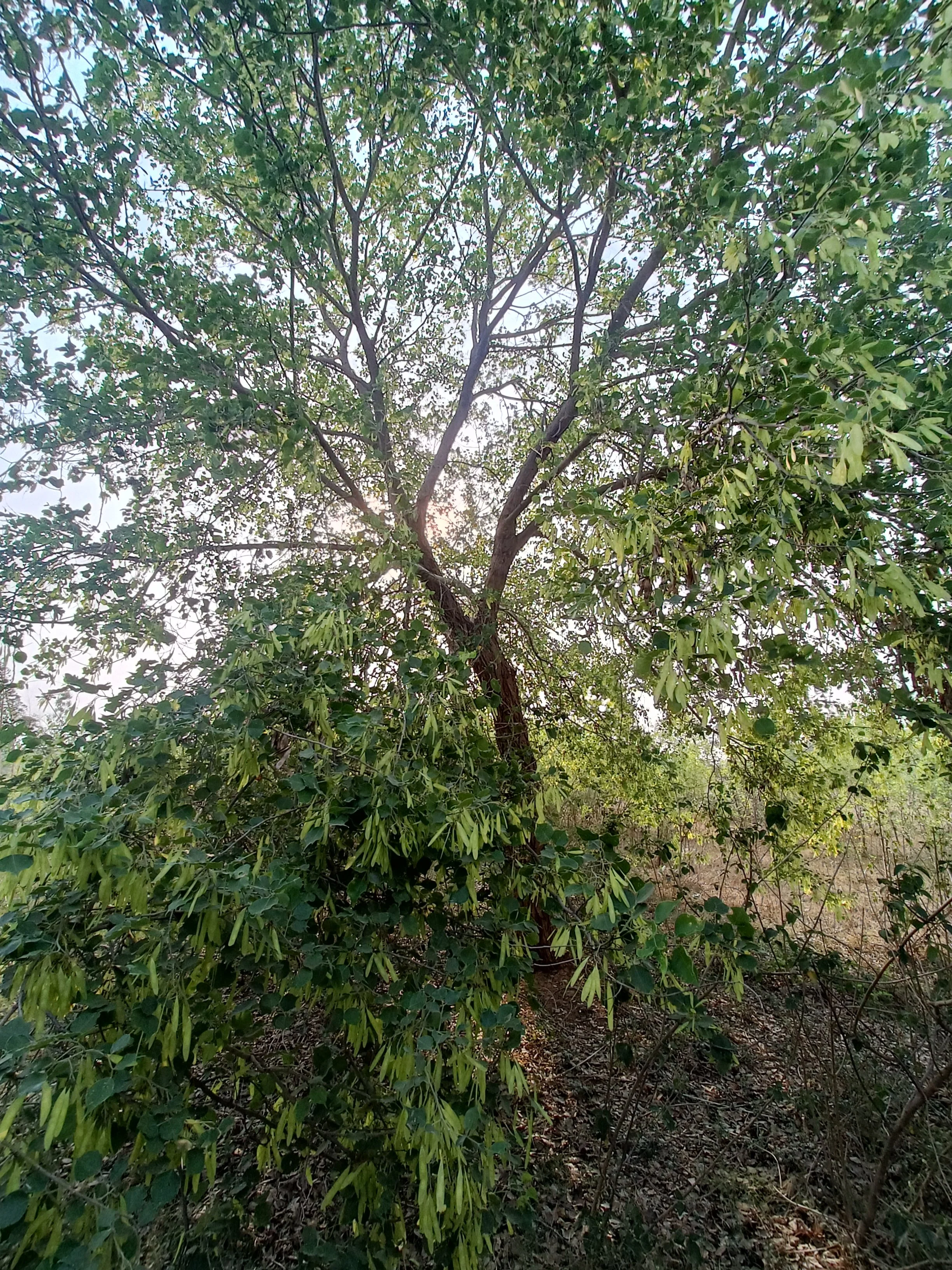
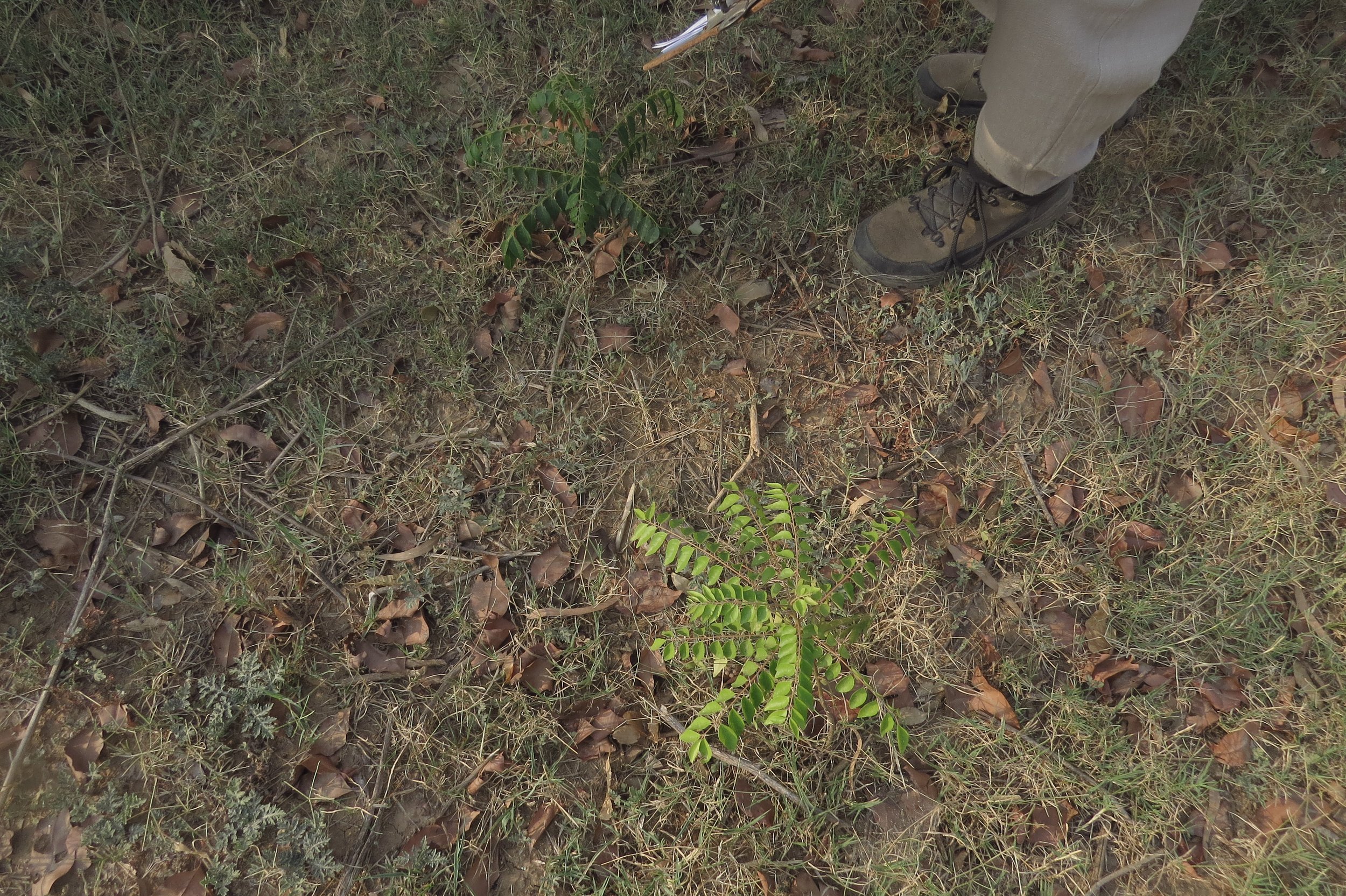
Dalbergia sissoo in eastern parcel
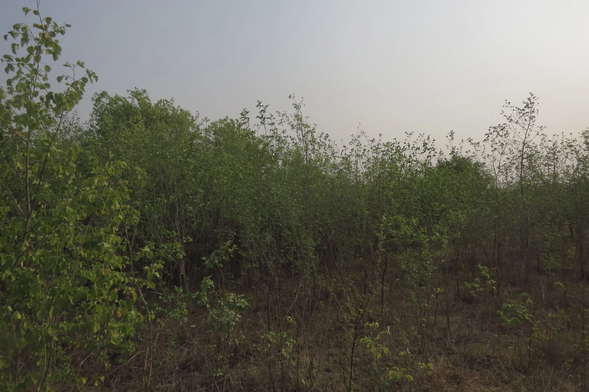
Hundreds of young Dalbergias in eastern parcel
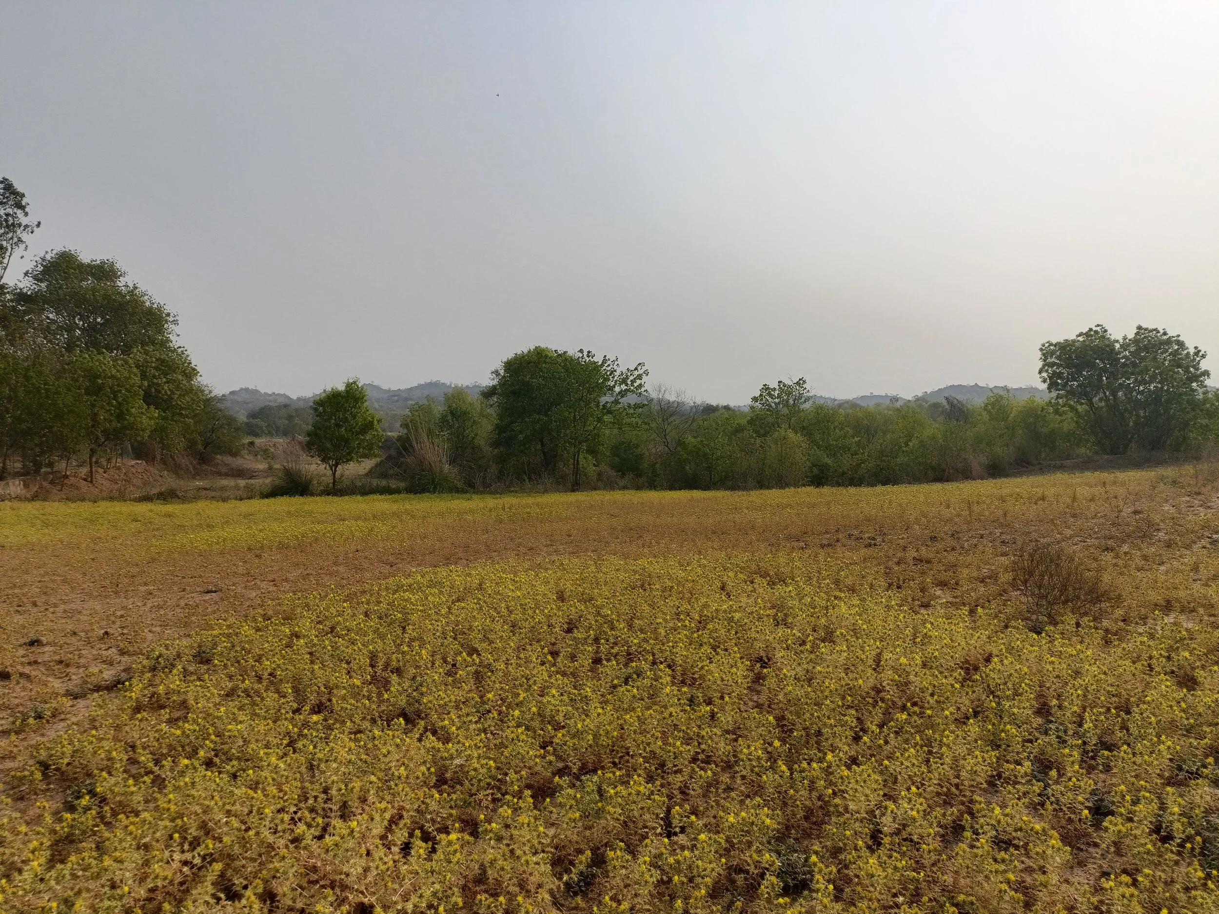
Thistle meadow (northern section)
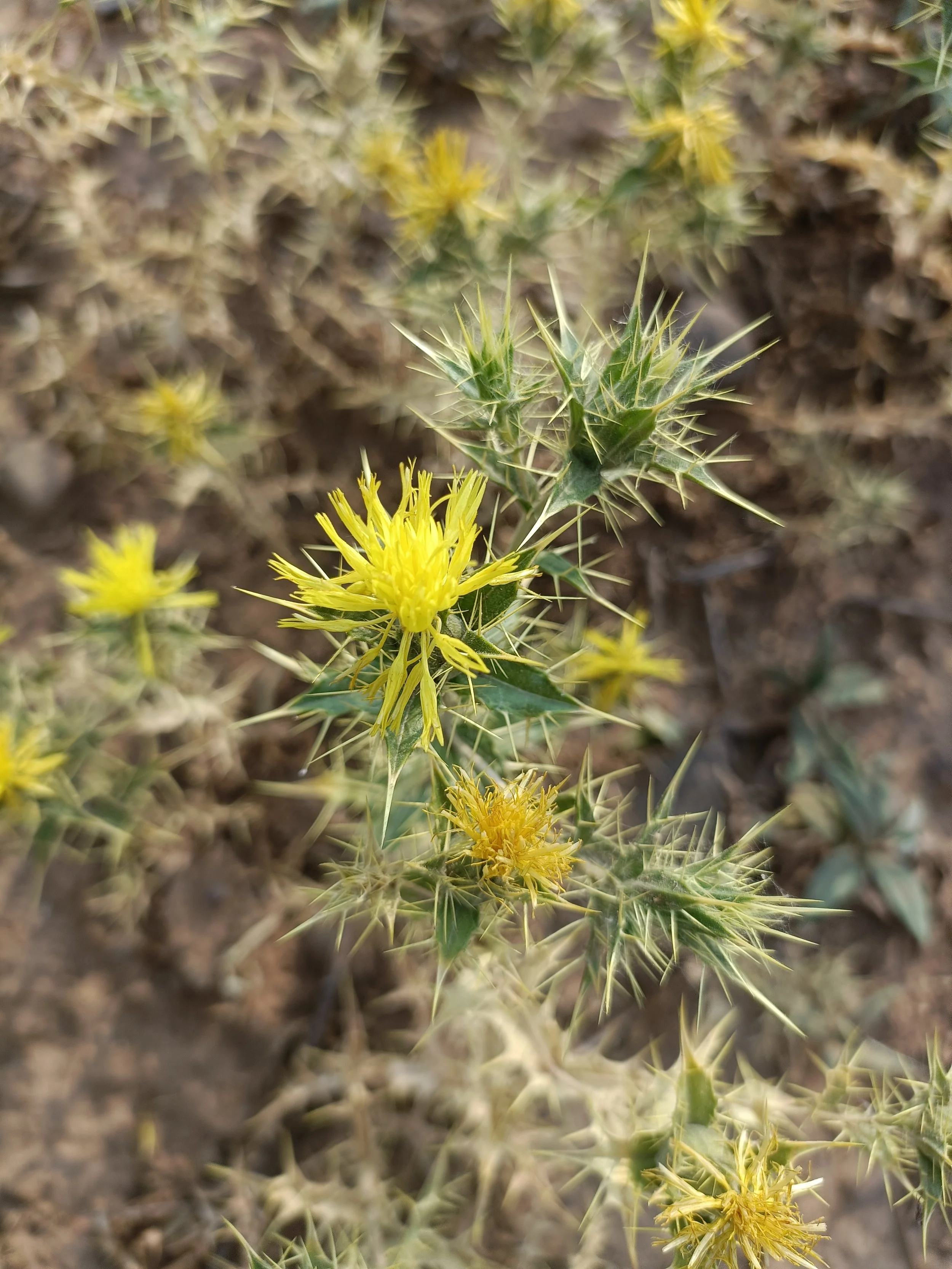
Carthamus oxycanthus (Jewelled distaff thistle)
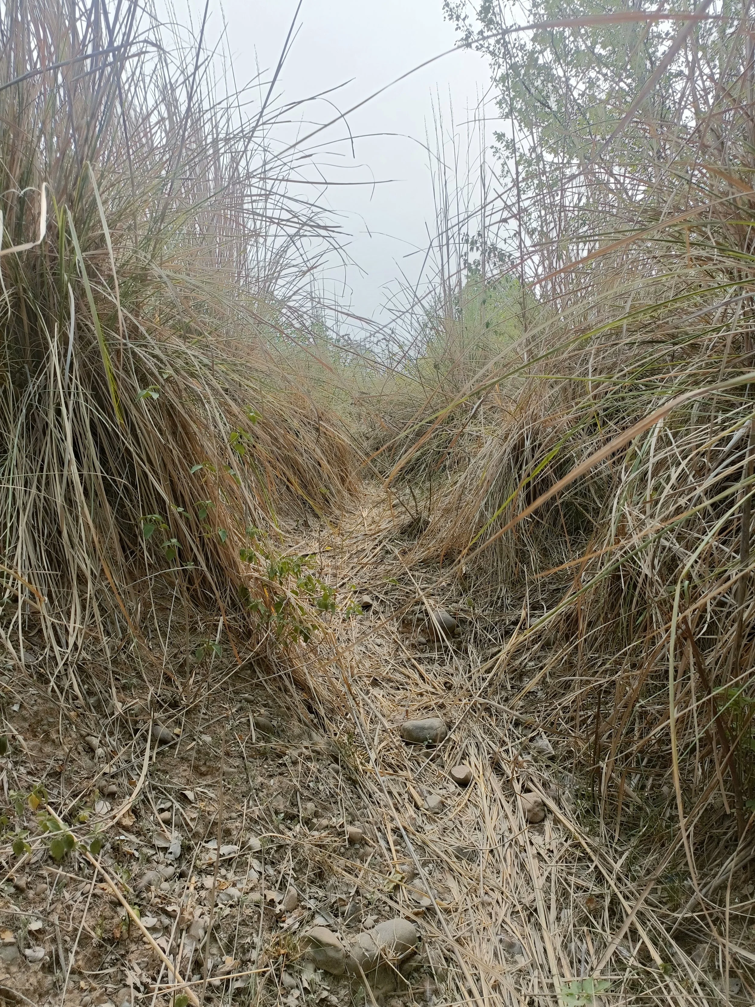
Stream - Kans grass
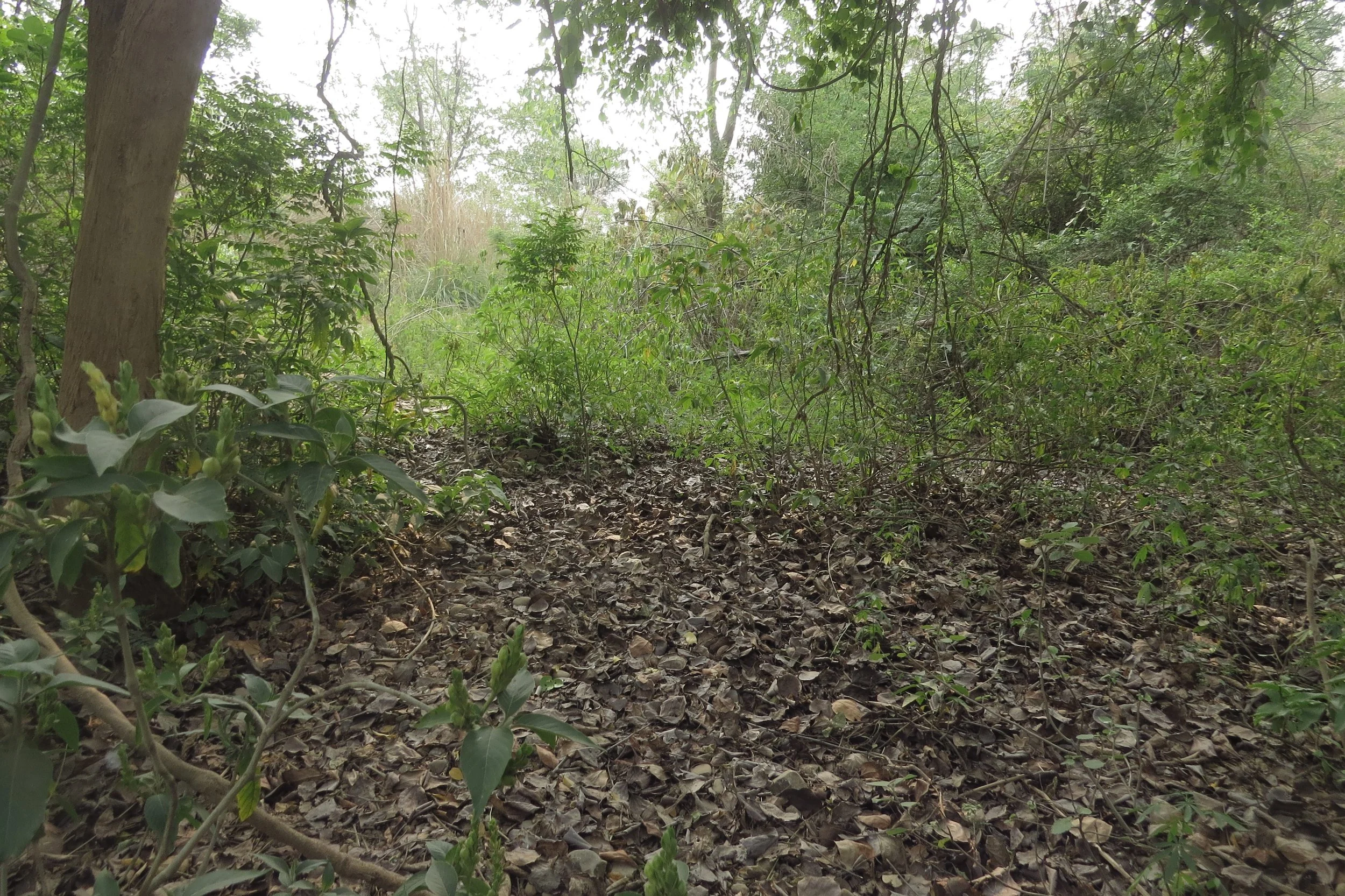
Stream - wooded portions with trees and thick leaf litter
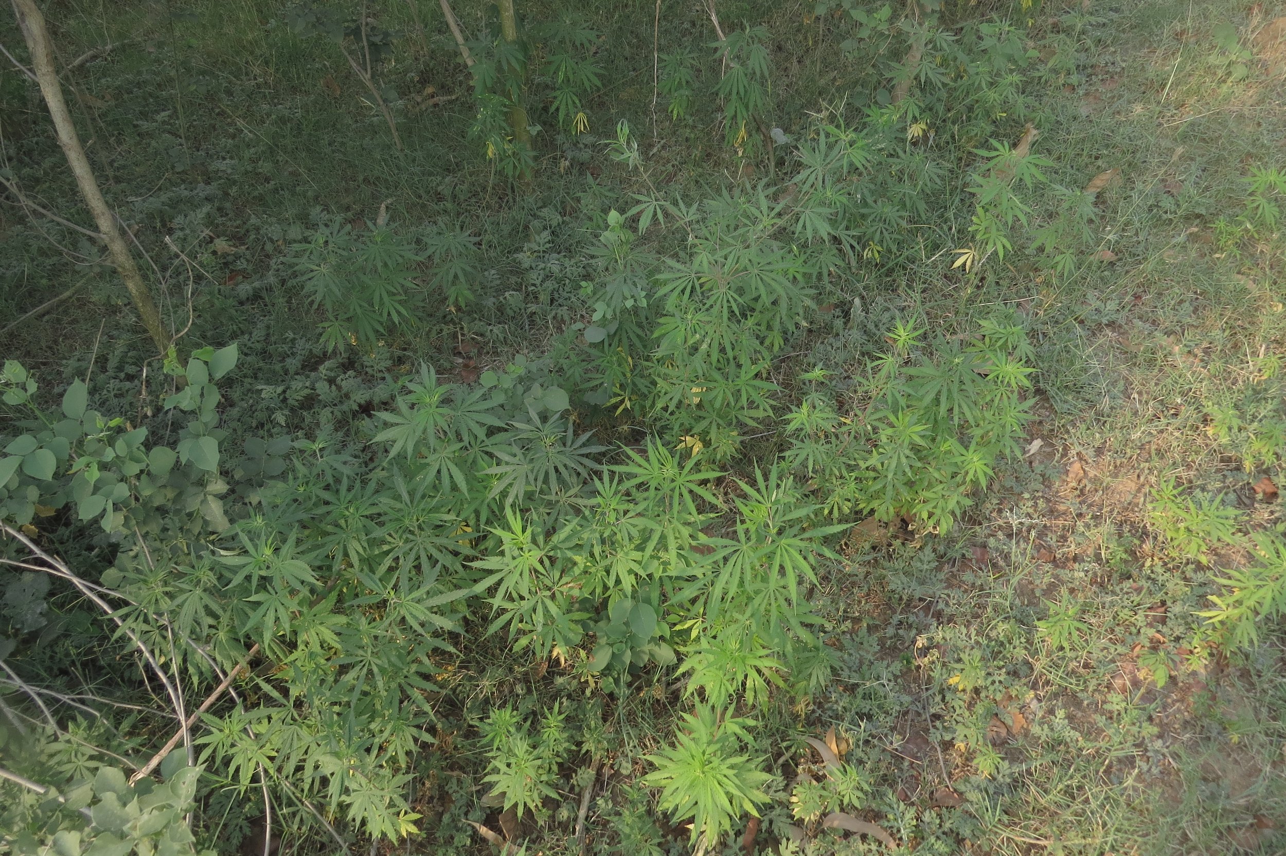
Stream - dense thickets of C. sativa
10-15m drop (western parcel) due to terracing
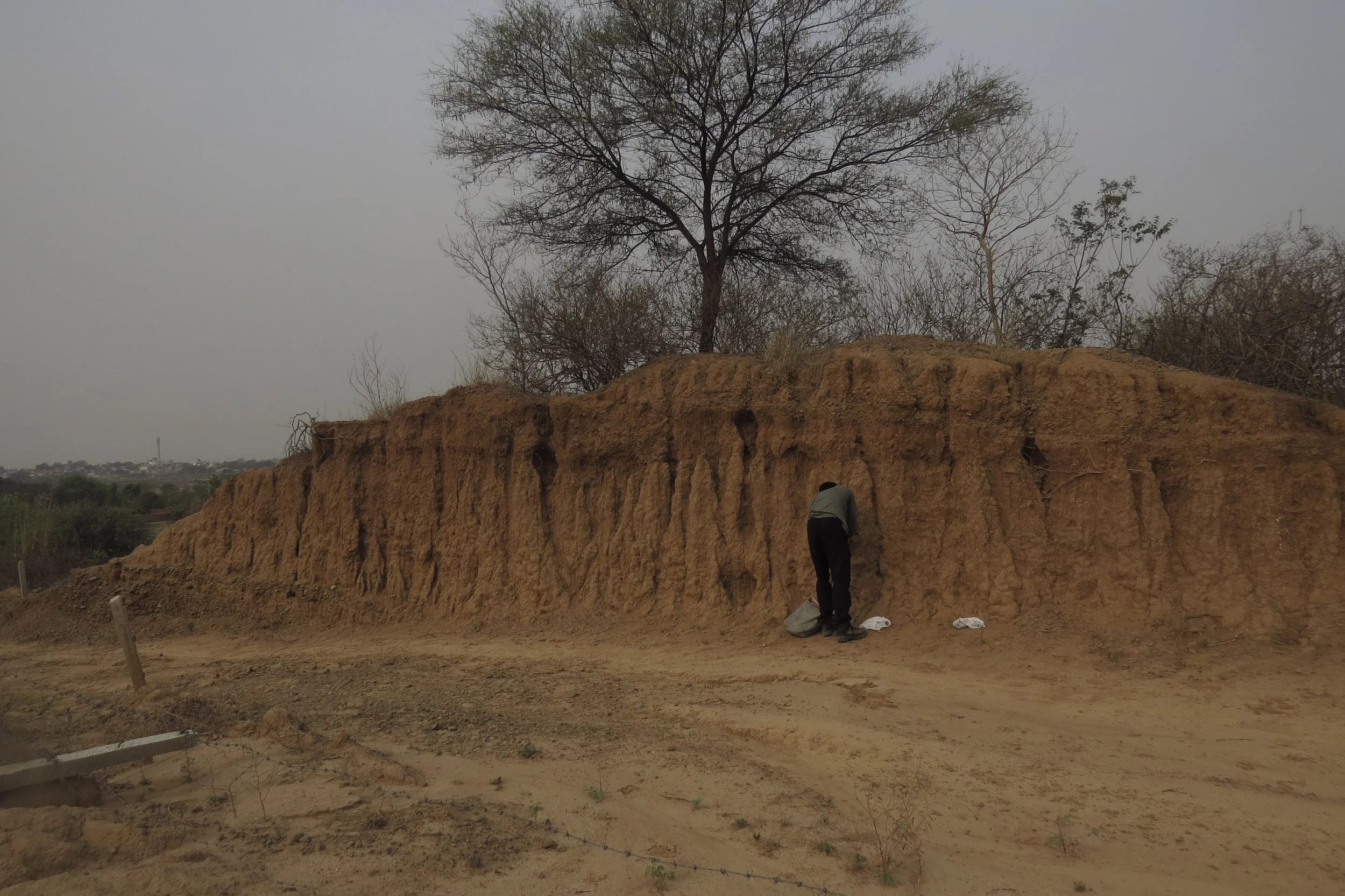
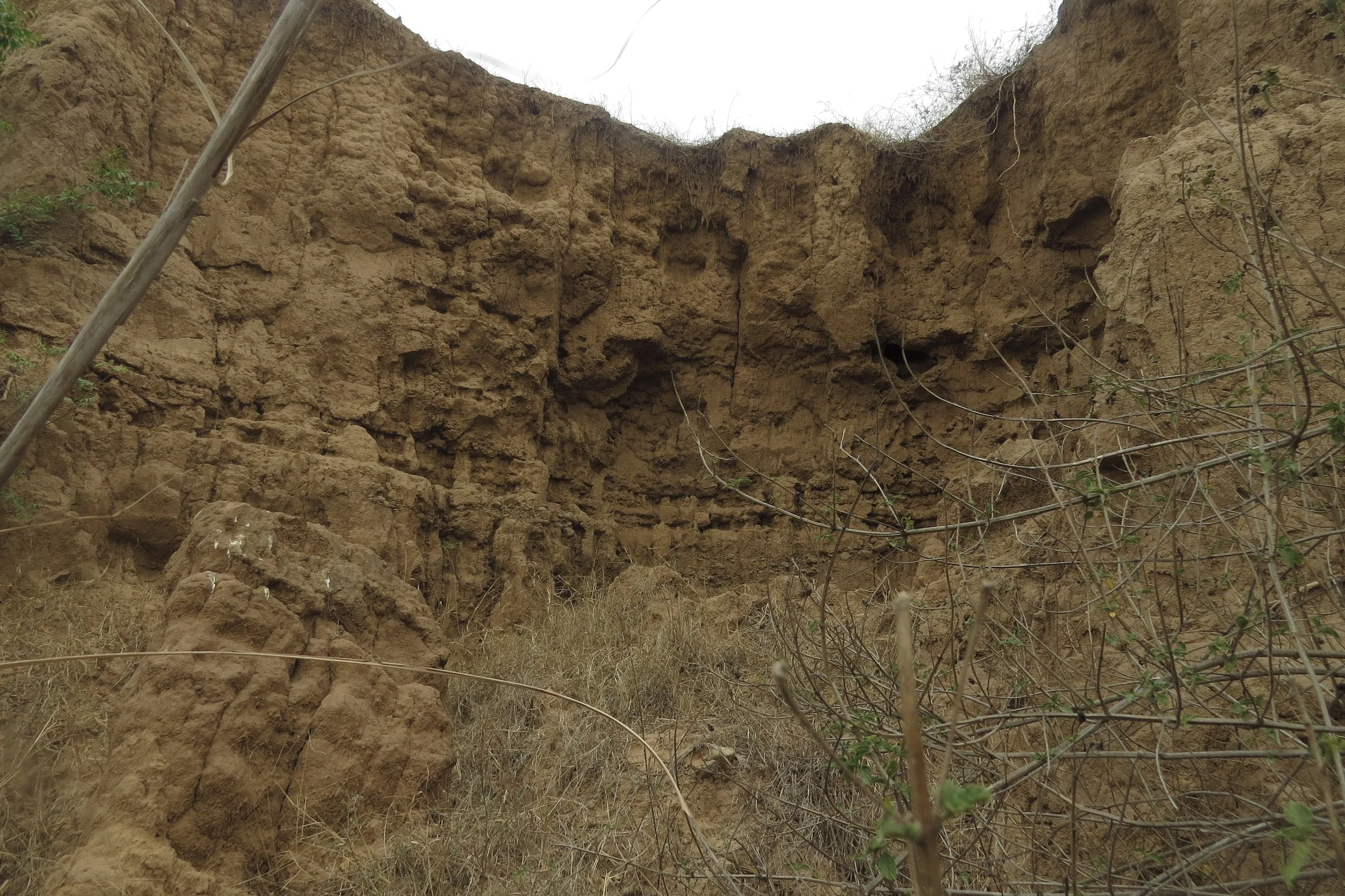
Embankment (cut to form road)
Cross section of neighbouring parcel (SW) showing scale of cutting and levelling
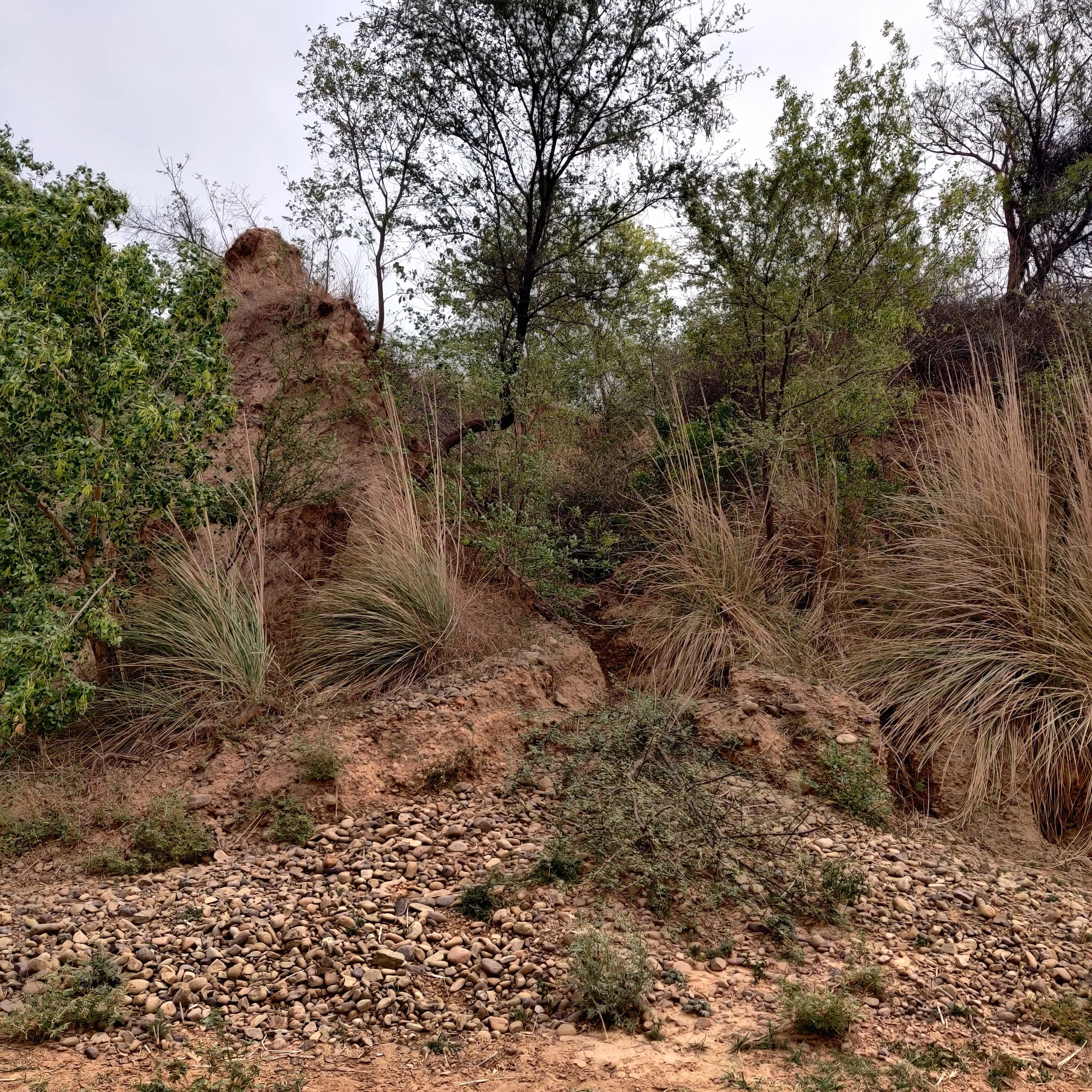
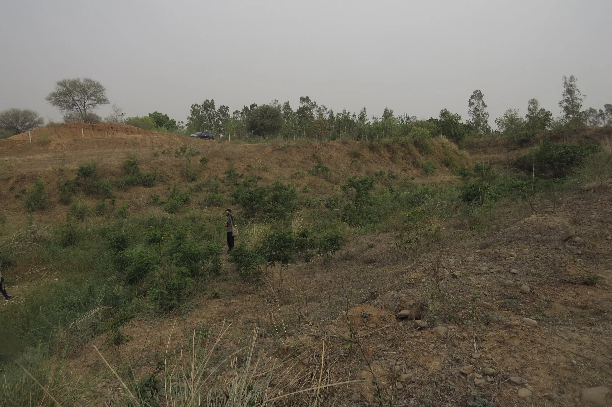
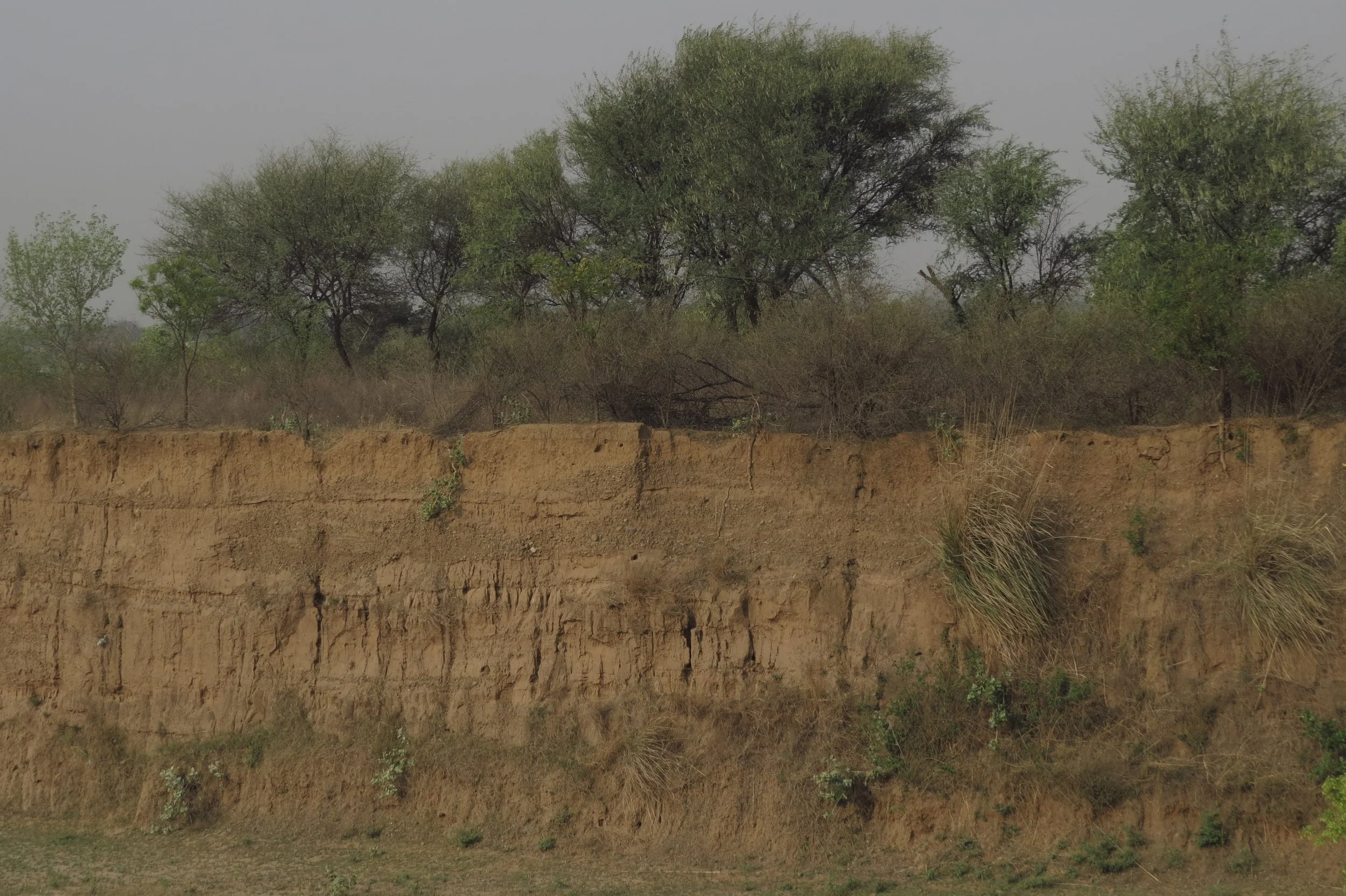
Erosion / gullies showing sediment flow and Kans grass
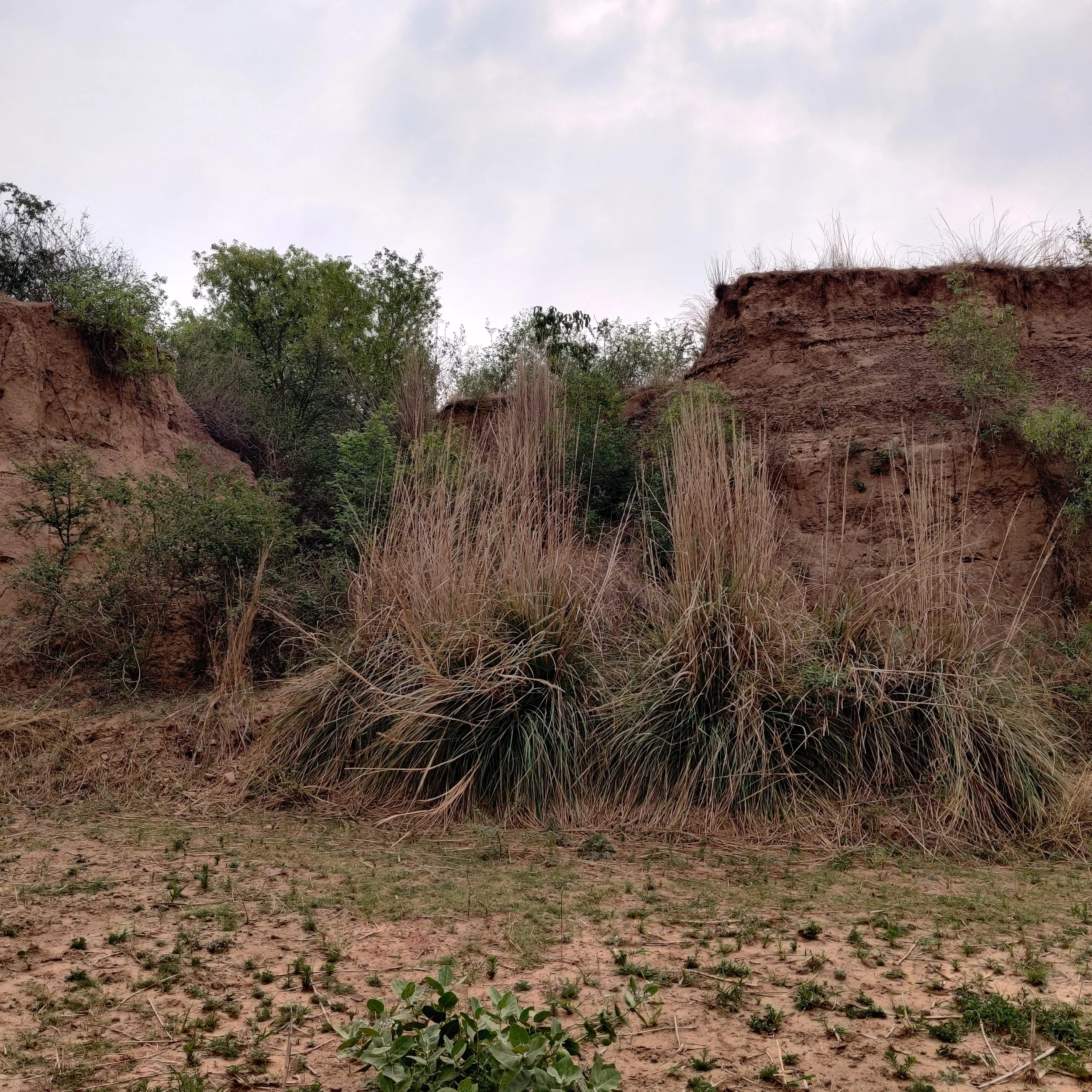
Kans grass
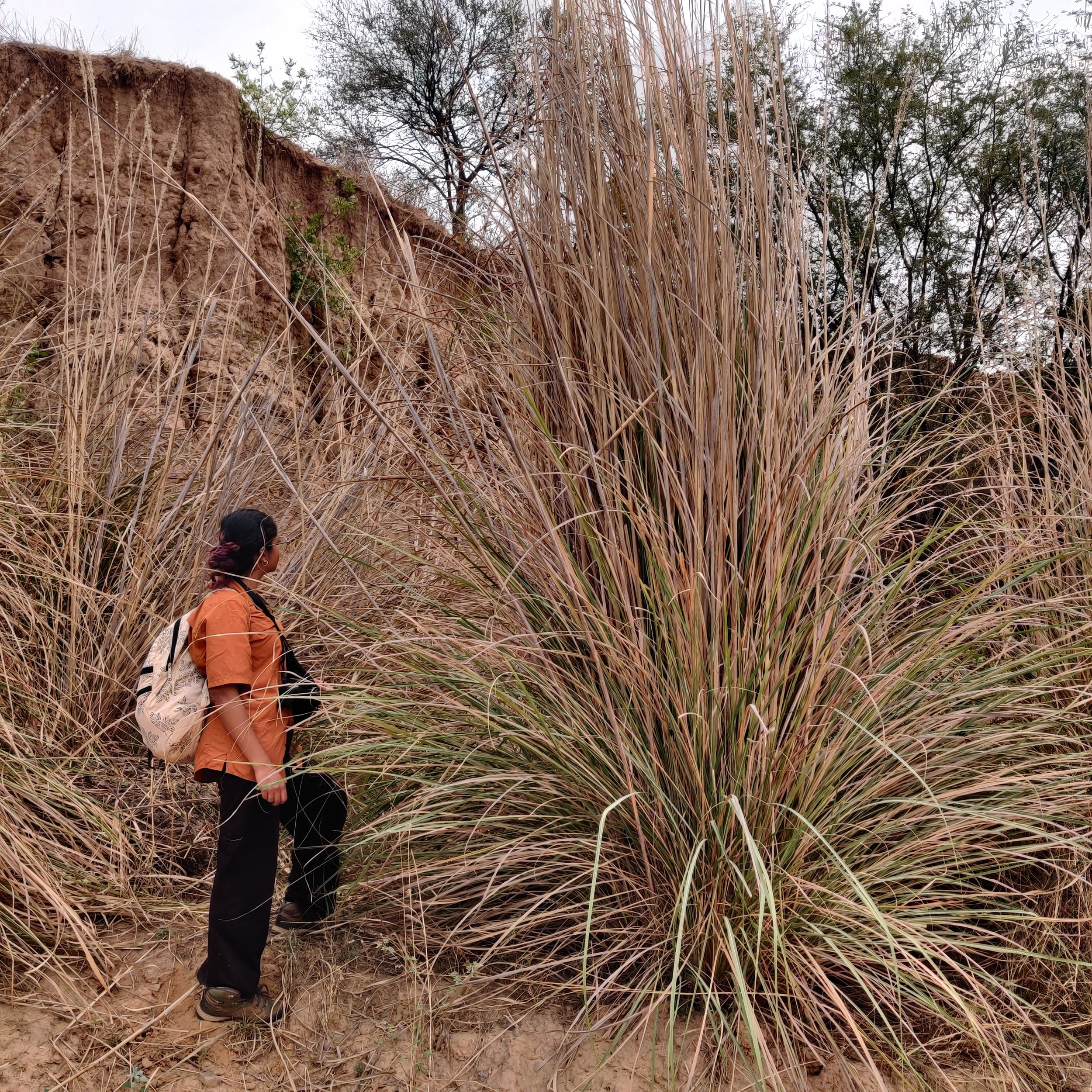
Kans grass (Sanjana for scale)
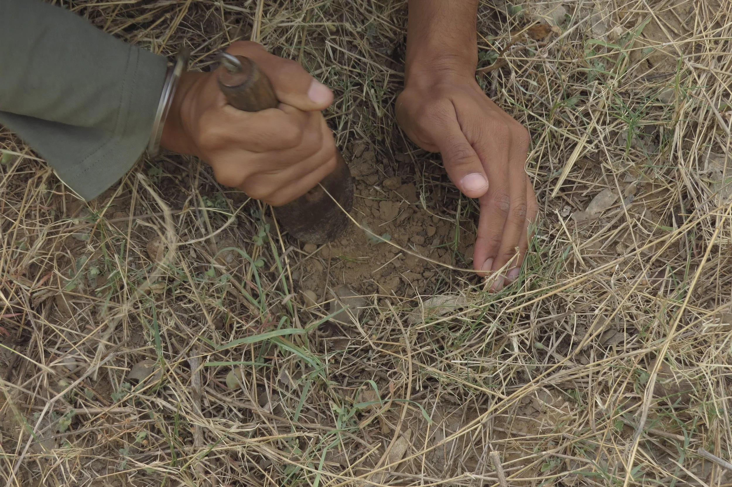
Collecting soil samples
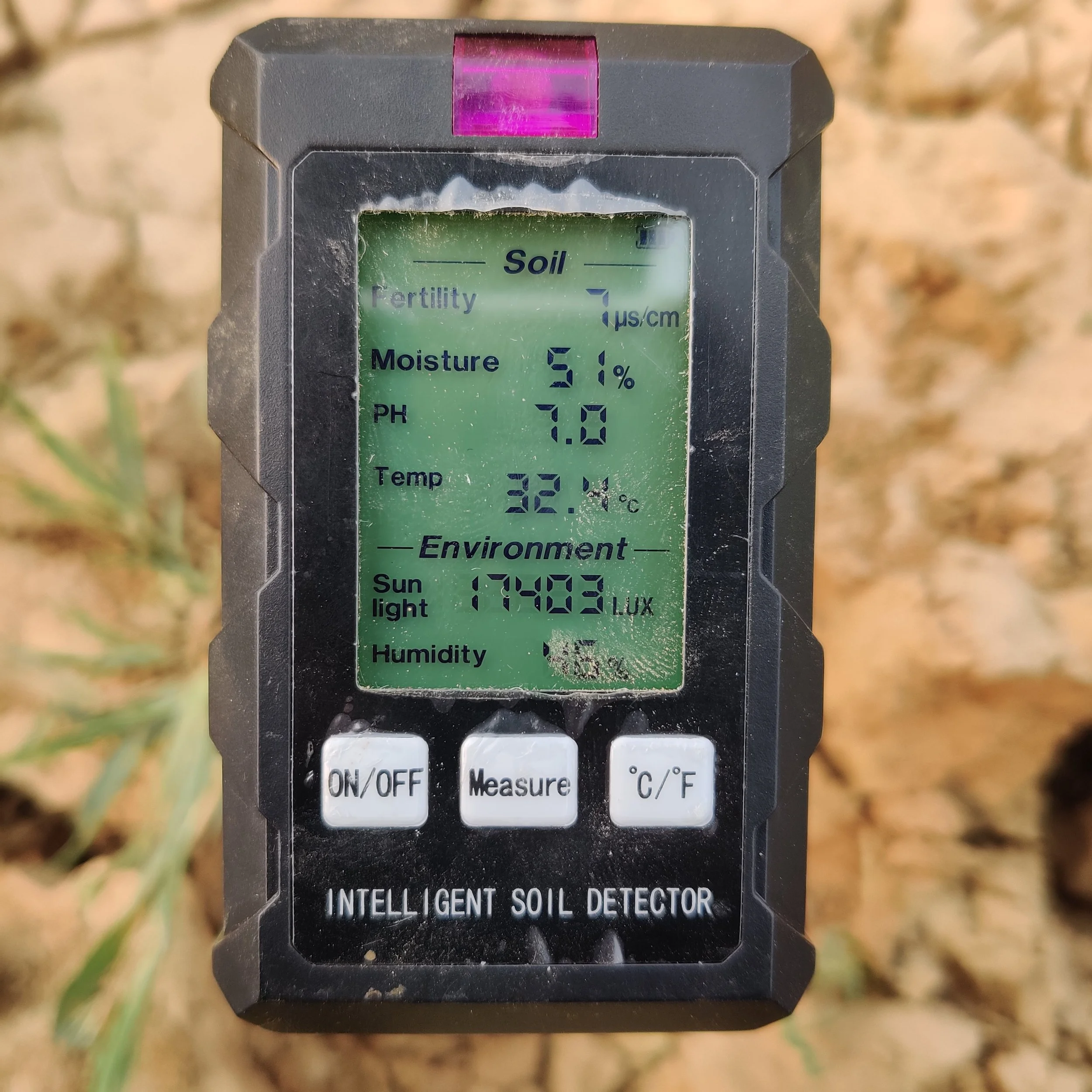
Taking soil readings
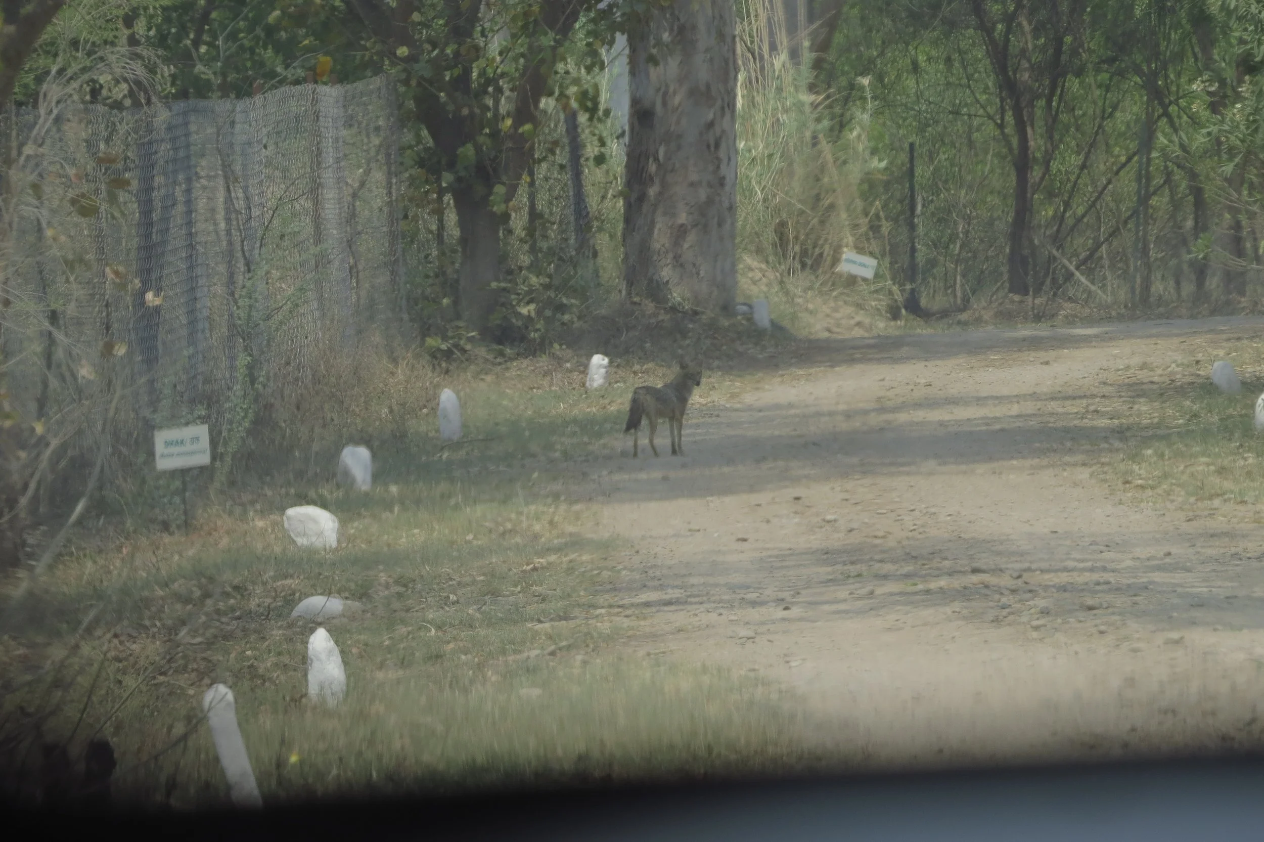
Golden jackal (in reference site)
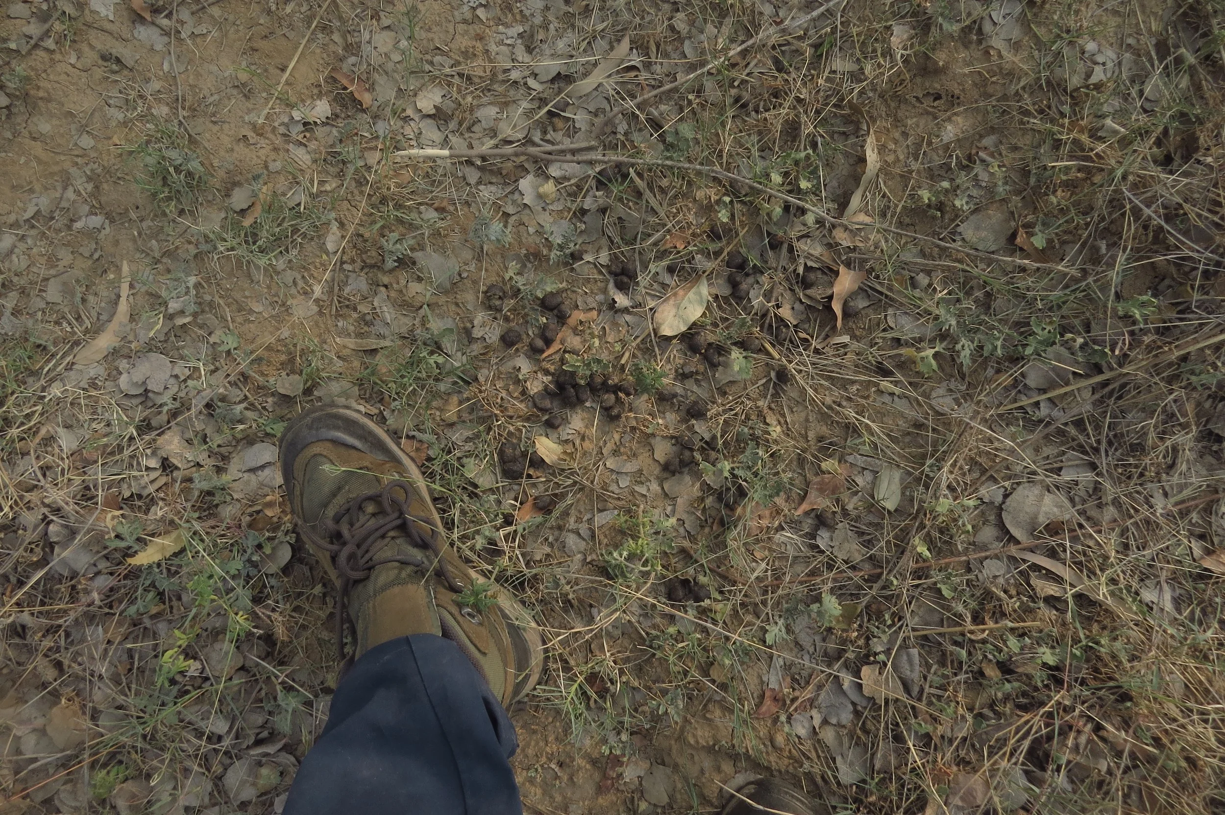
Deer droppings on site
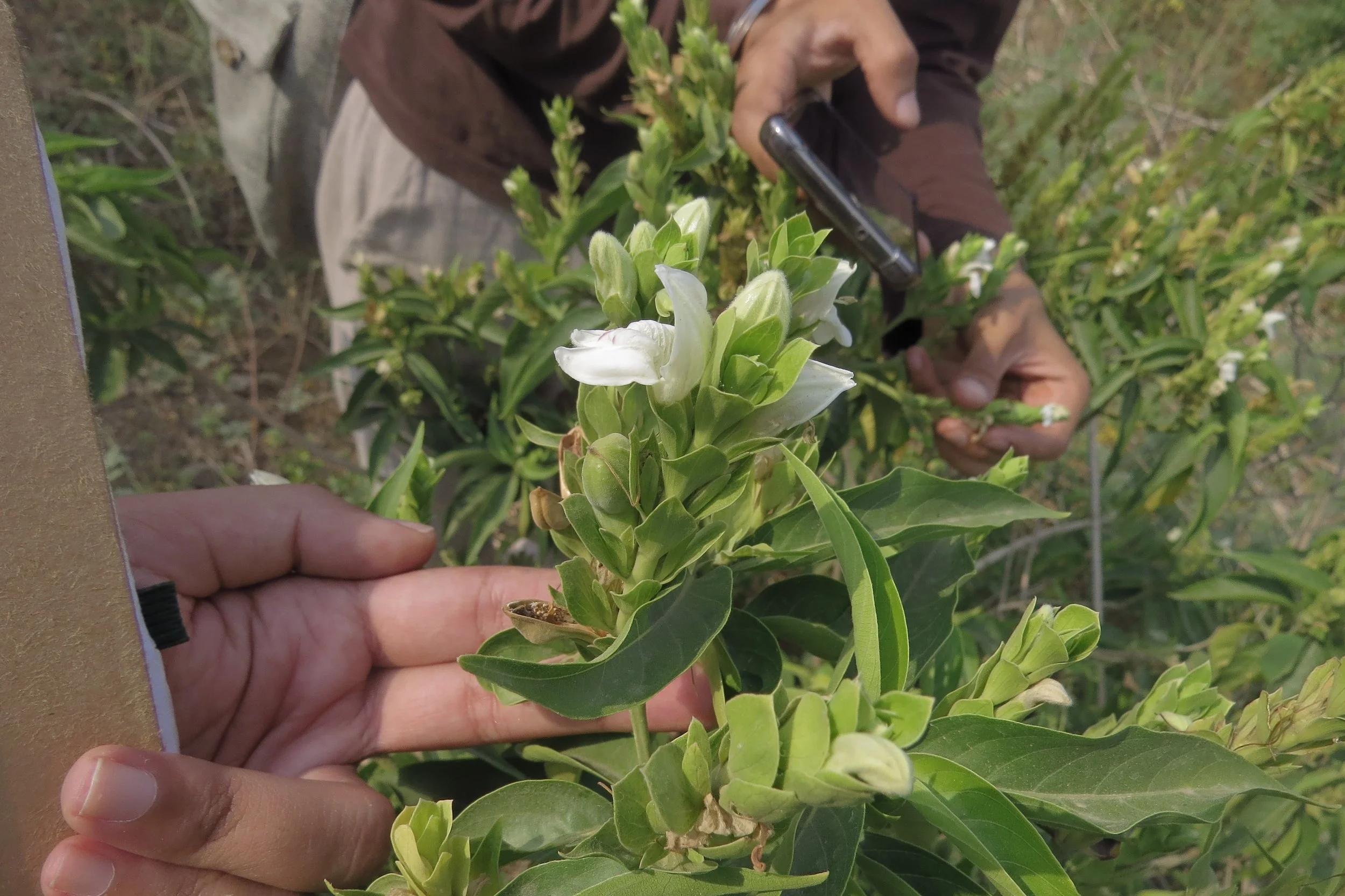
Justicia adathoda (Arus), prominent understory species
Diospyros montana (Bombay ebony)
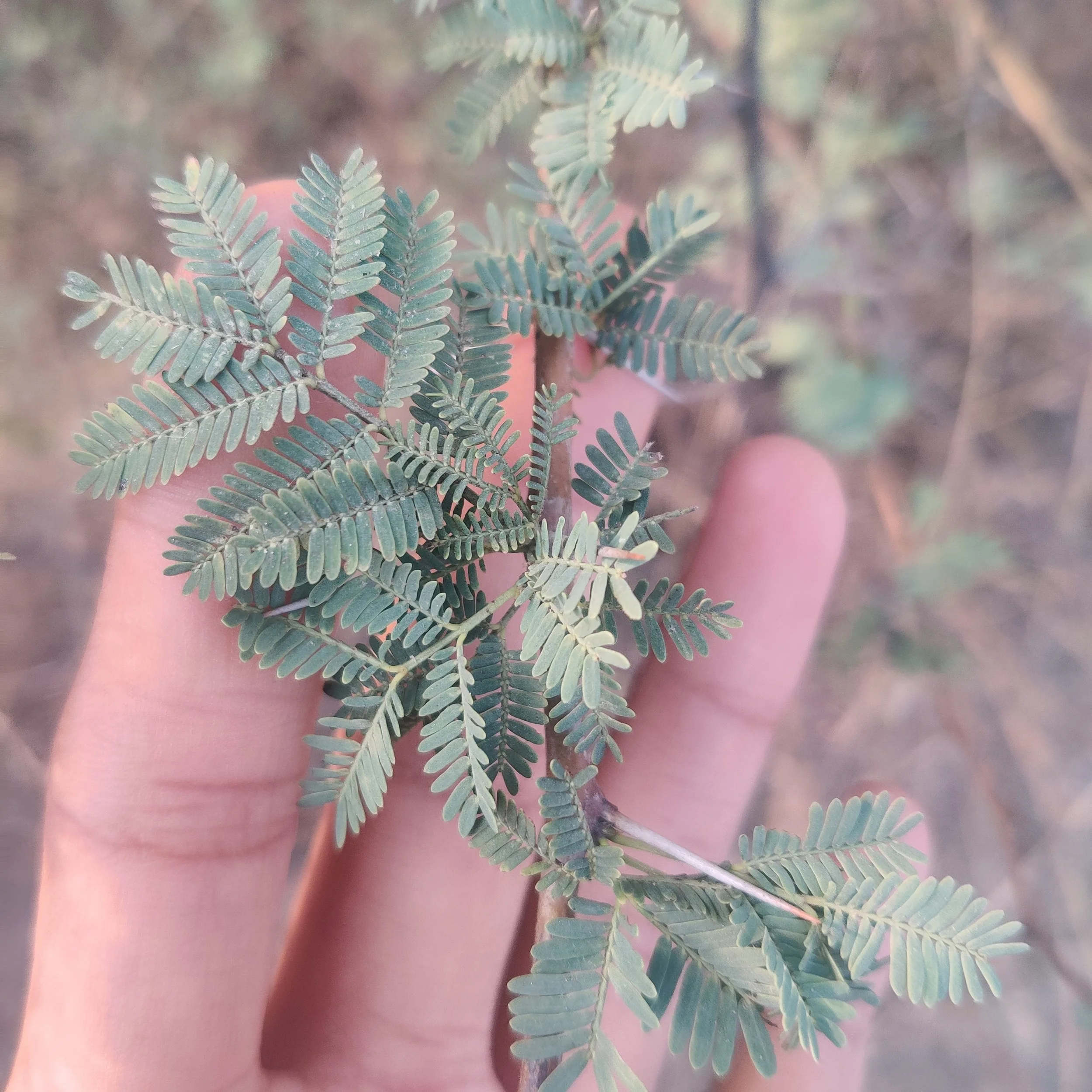
Acacia nilotica (Babul)
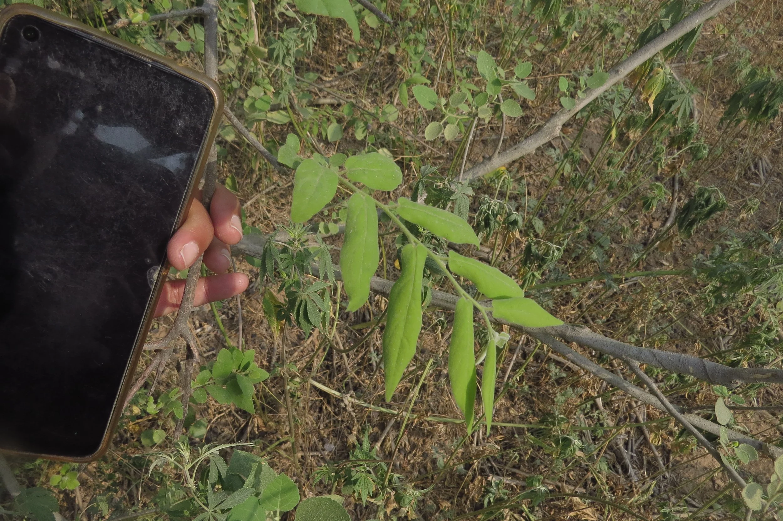
Wild Murraya koenigii (Curry leaf)
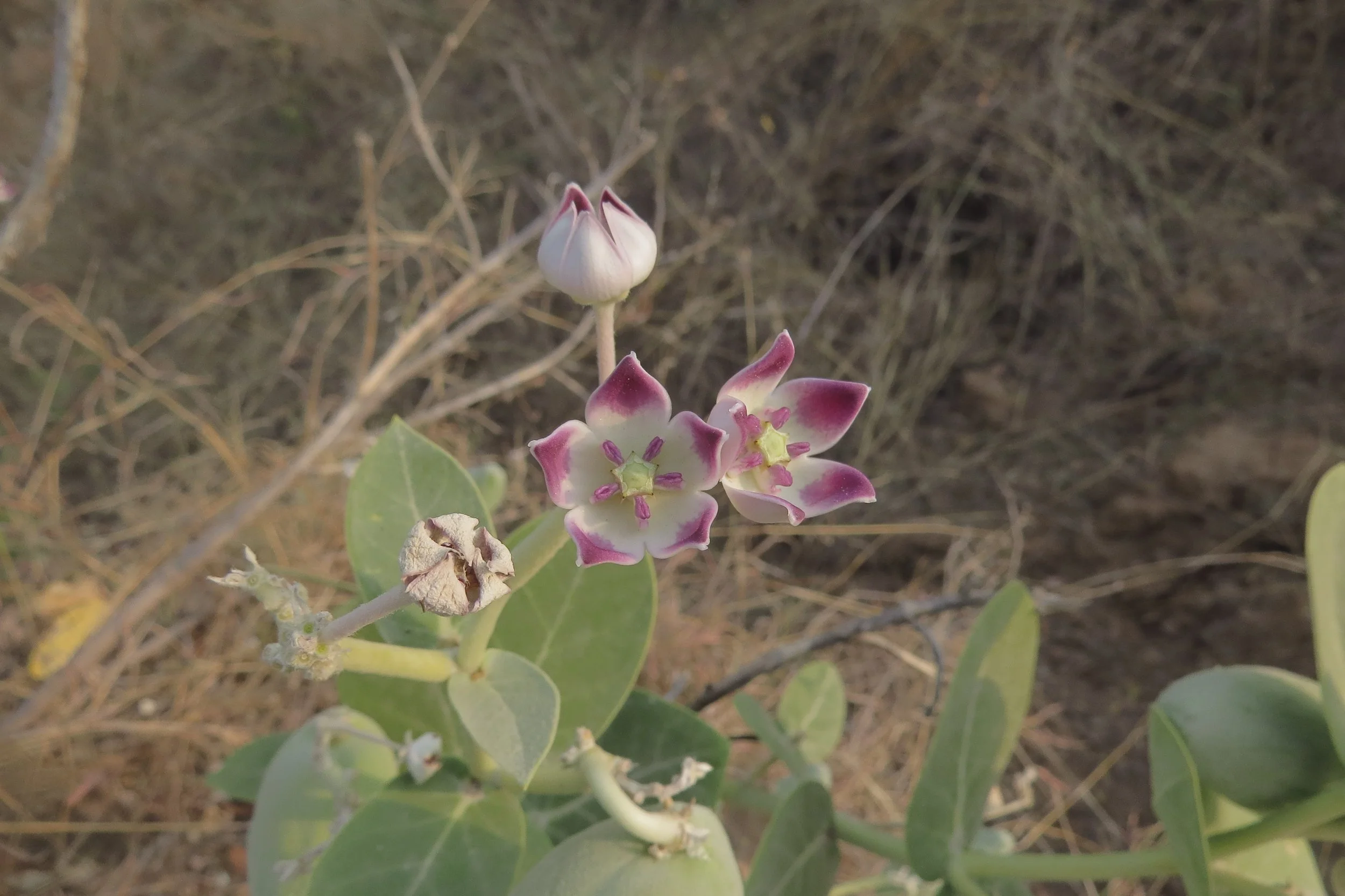
Calotropis procera (Milkweed)