

Shoolagiri Farm
Project size: 5 acres
Shoolagiri, Krishnagiri district, Tamil Nadu, India
January 2021 to October 2022
Key features: Forest garden, ponds, basins, open wells, living fence, wetland, community food forest, earthworks
Project team: Sanjana Radhakrishnan (Project lead); Jananee Mohan, Kiri Meili
Elevation: 790 metres above sea level
Annual rainfall: 749mm / 29.5 inches
Climate: Tropical savanna
Bioregion: South Deccan plateau dry deciduous forests / Deccan thorn scrub forests
Soil type: Red sandy loam
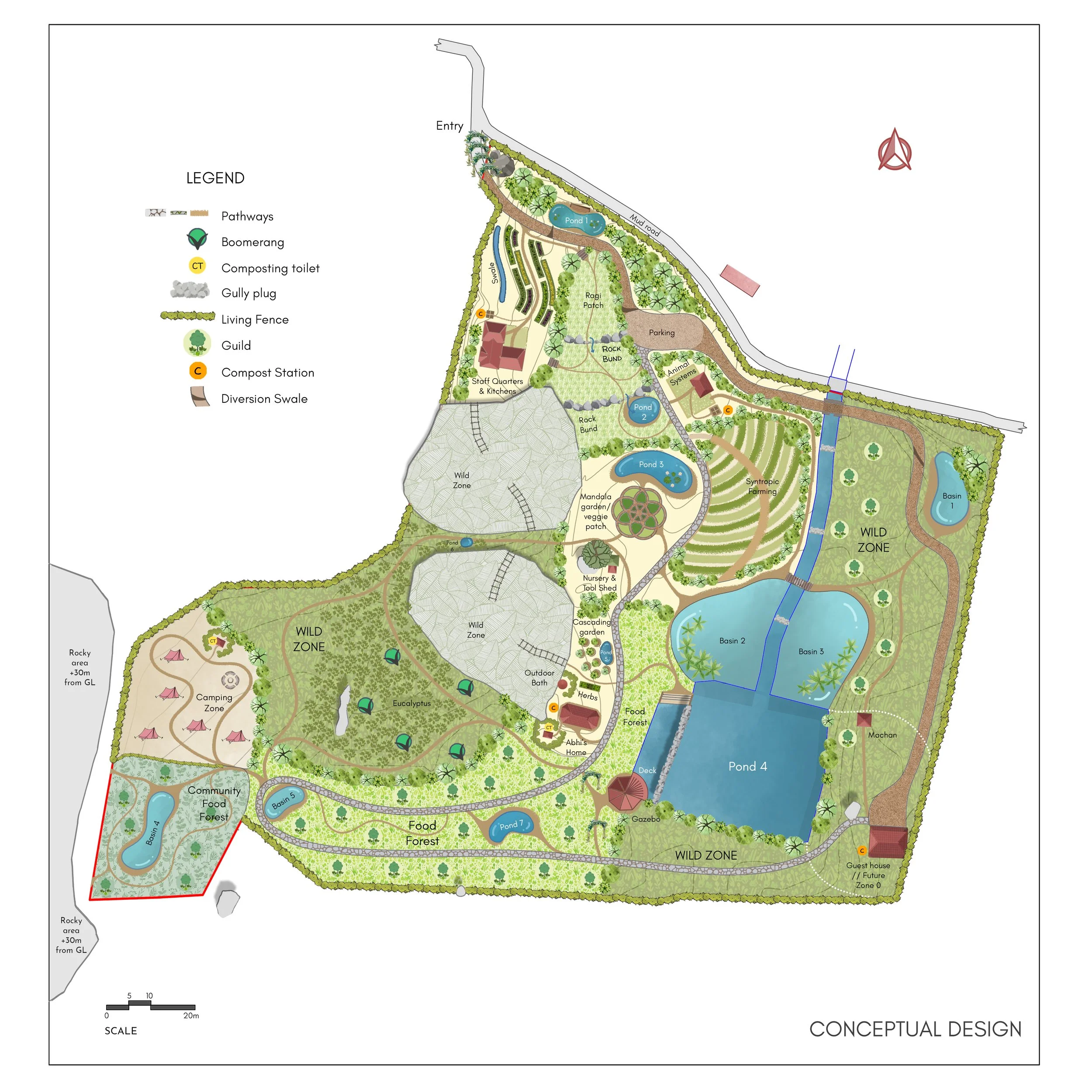
Phase 1 - Design
The first engagement focused on developing a comprehensive ecological masterplan to transform this 5-acre farm in Shoolagiri into a self-sustaining homestead. The design process began with a detailed study of the site’s climate, valley topography, soil conditions, and broader ecological context, including the impacts of regional mining and forest degradation. Local reference ecosystems informed the planting strategy, ensuring the proposal was grounded in native flora and ecological processes.
A clear zoning framework from Zones 0 to 5 organised spaces for habitation, cultivation, and wild habitat. Water security formed a central pillar of the design. An integrated storm water management system was proposed, comprising six ponds, five basins, a swale, and rooftop rainwater harvesting structures to capture runoff and recharge the shallow aquifer and the existing pond.
Dedicated areas were planned for ragi cultivation, a raised bed kitchen garden, and two diverse food forests structured around plant guilds, including one for the pastoral community in the area. Two wild zones were retained as ecological buffers and habitat patches to support biodiversity and long-term resilience.
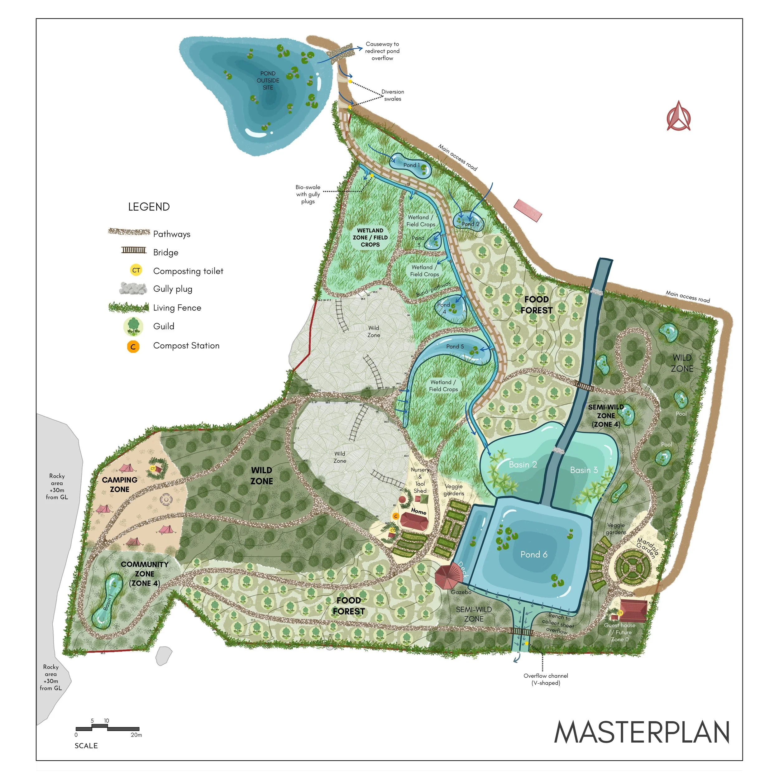
Phase 2
Revised Masterplan
Flood response, earthworks and masterplan revision
Post 2022 Monsoon
Following flooding in 2022, the second engagement involved revisiting the site and refining the masterplan in response to newly observed monsoon patterns. Areas that had functioned as seasonal wetlands were identified, and built elements were relocated away from natural drainage paths. The revised strategy channelised storm water through carefully designed earthworks to work with, rather than against, the land’s hydrology.
Existing ponds were redesigned, overflow channels were clearly defined, and causeways were recommended to maintain access during heavy rainfall. The main access road was detailed with staggered hardscape tracks to slow water movement and reduce erosion and sludge formation. Greywater was managed through simple, gravity-fed systems such as banana circles and mulched infiltration basins. The planting strategy was further strengthened by increasing food forest diversity and establishing a dense, two-layered living boundary to enhance protection, productivity, and ecological value.
Site photos
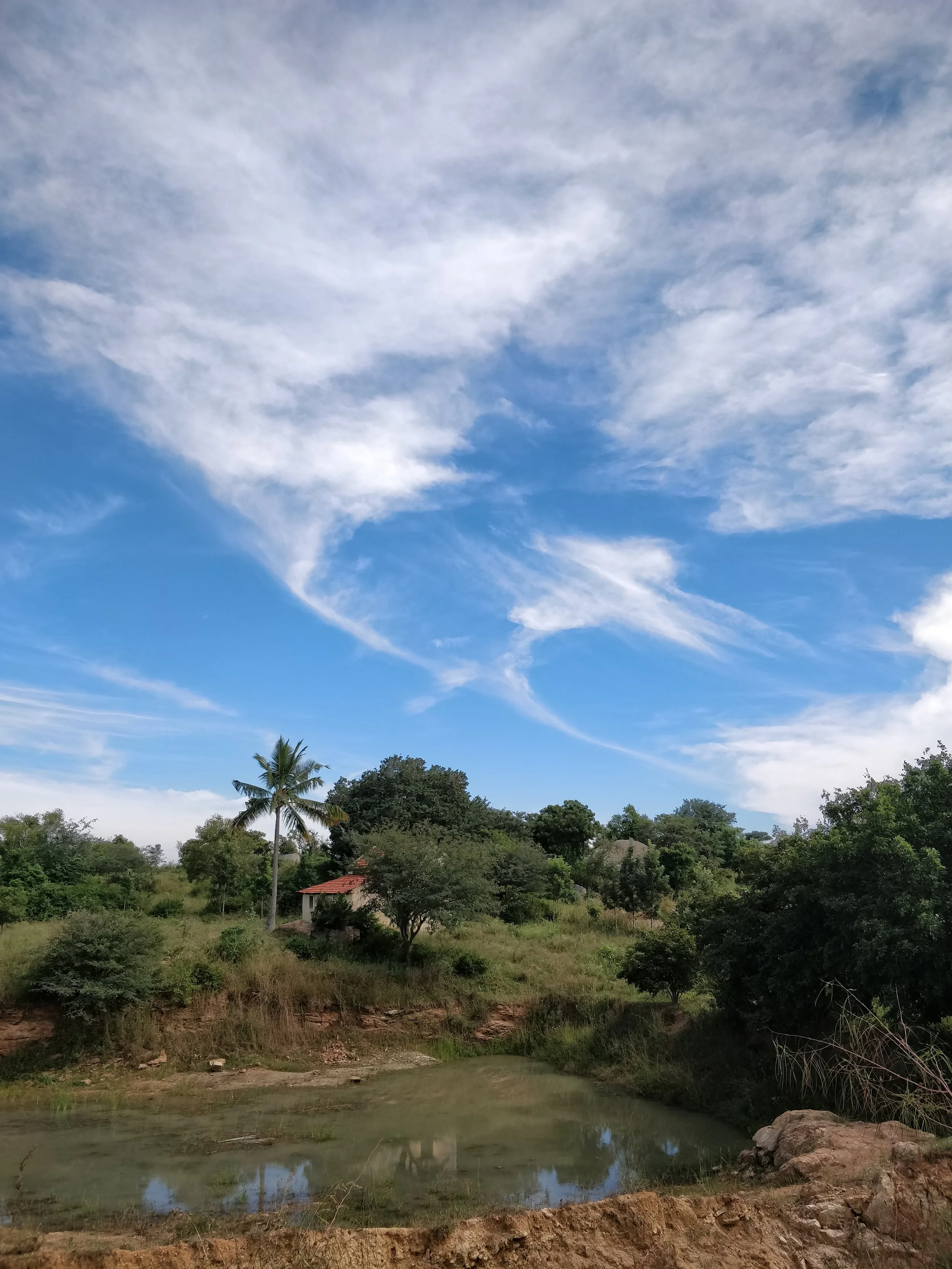
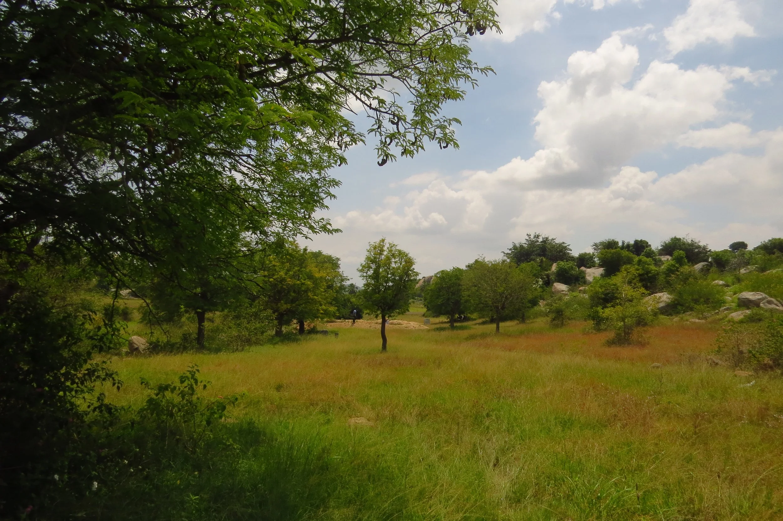
View of the southeast parts of the land
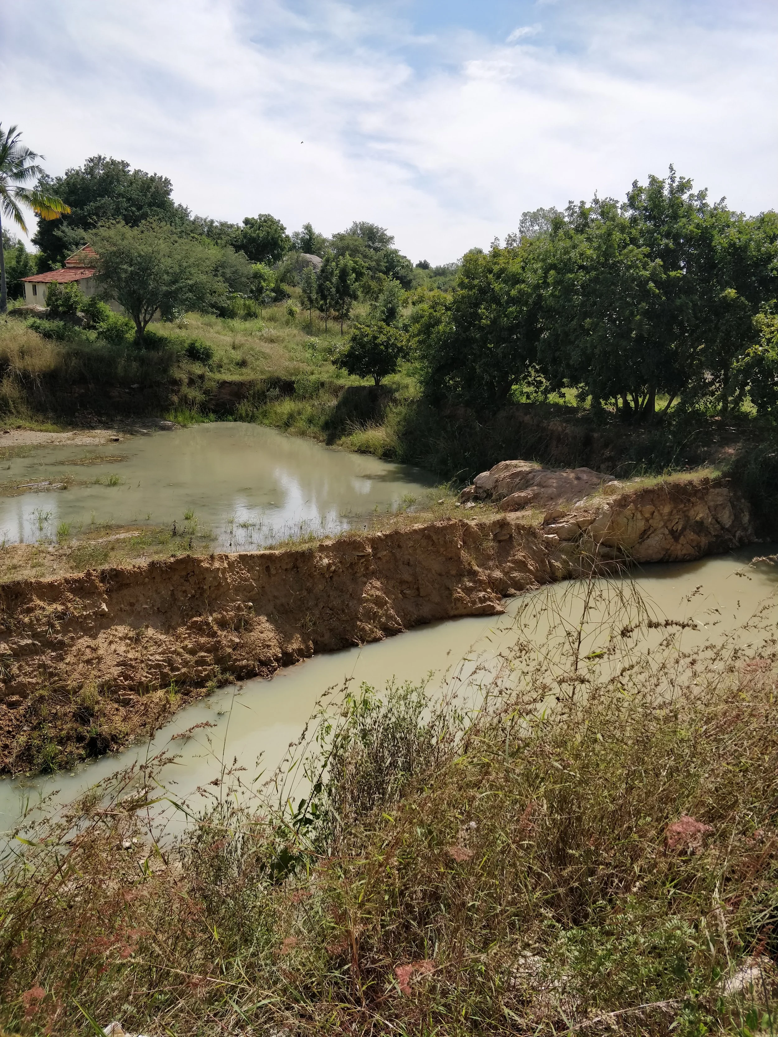
Existing pond (seasonal)
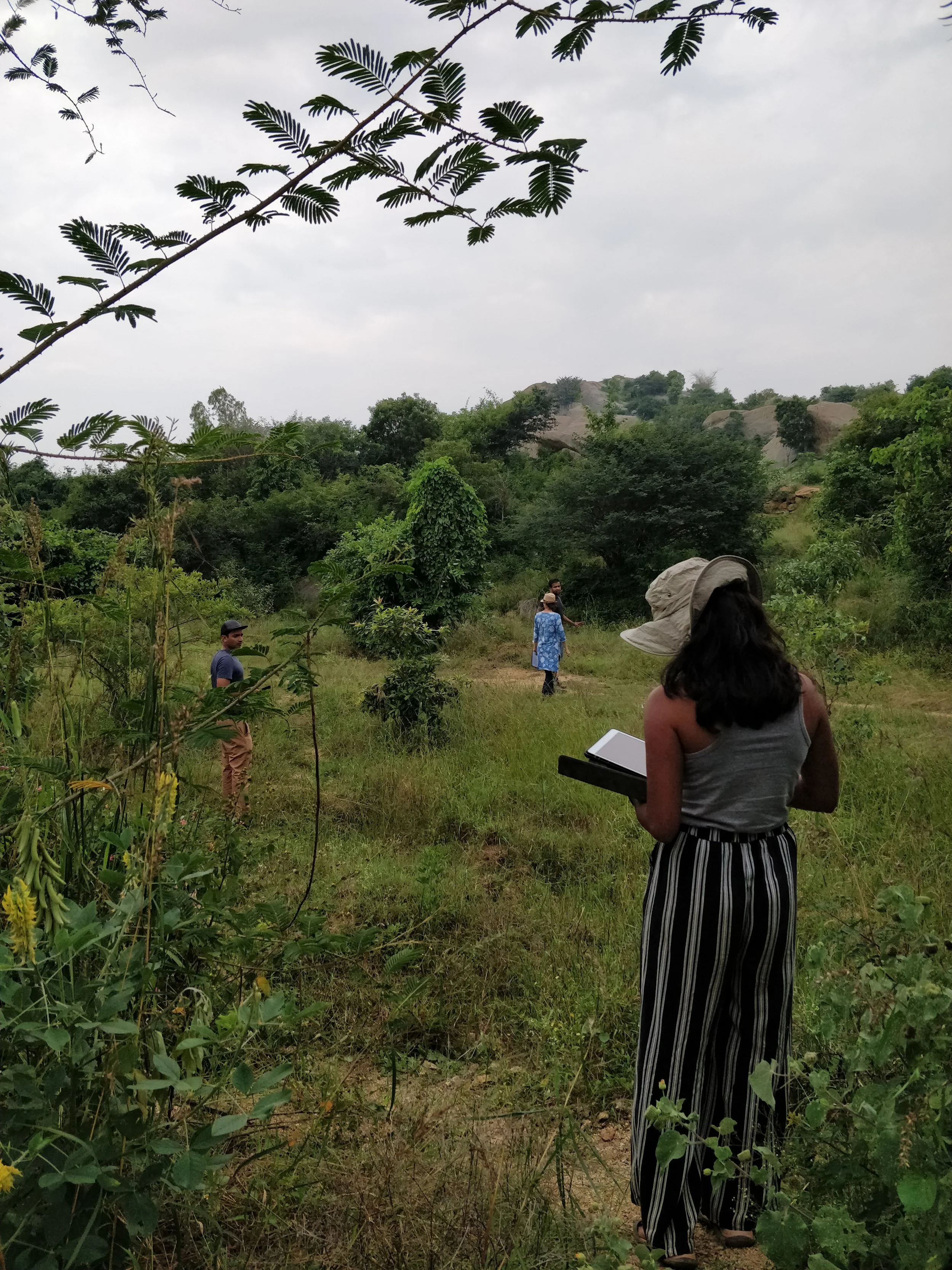
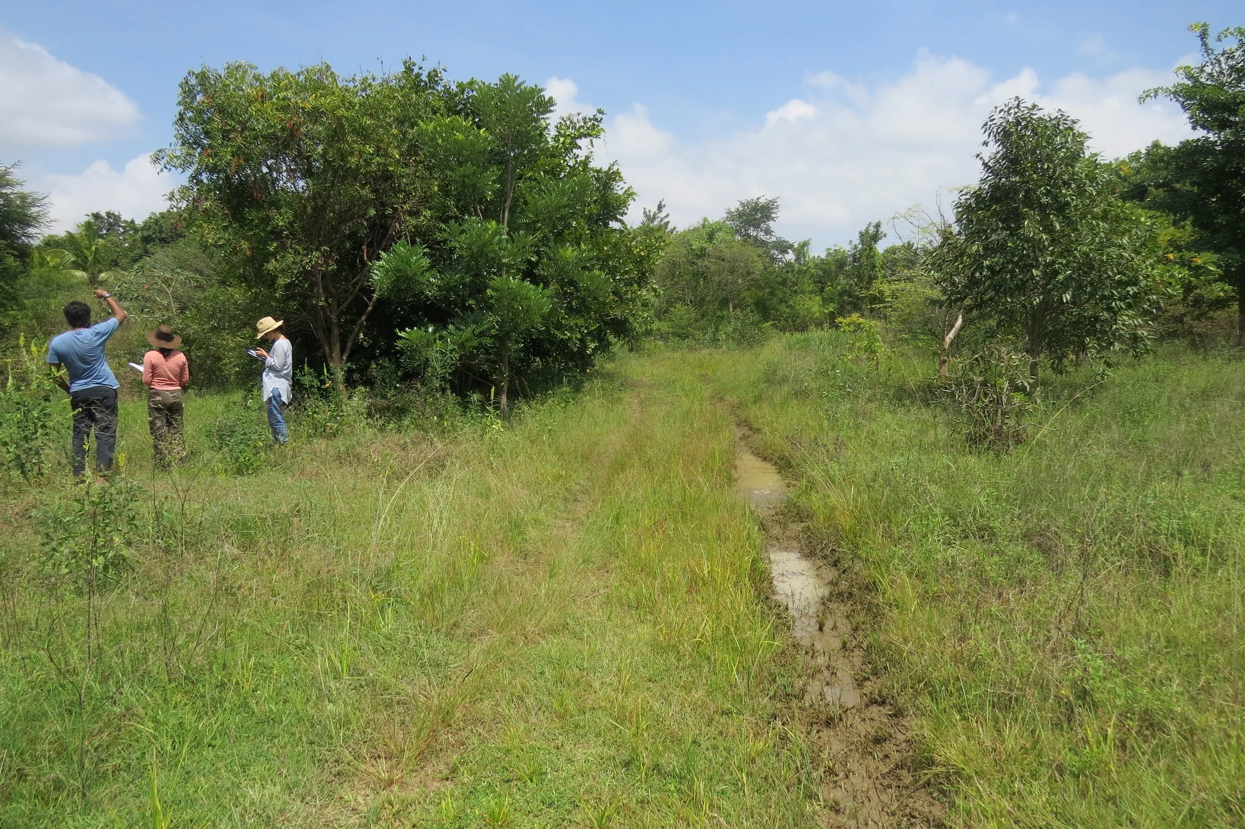
Walking the land
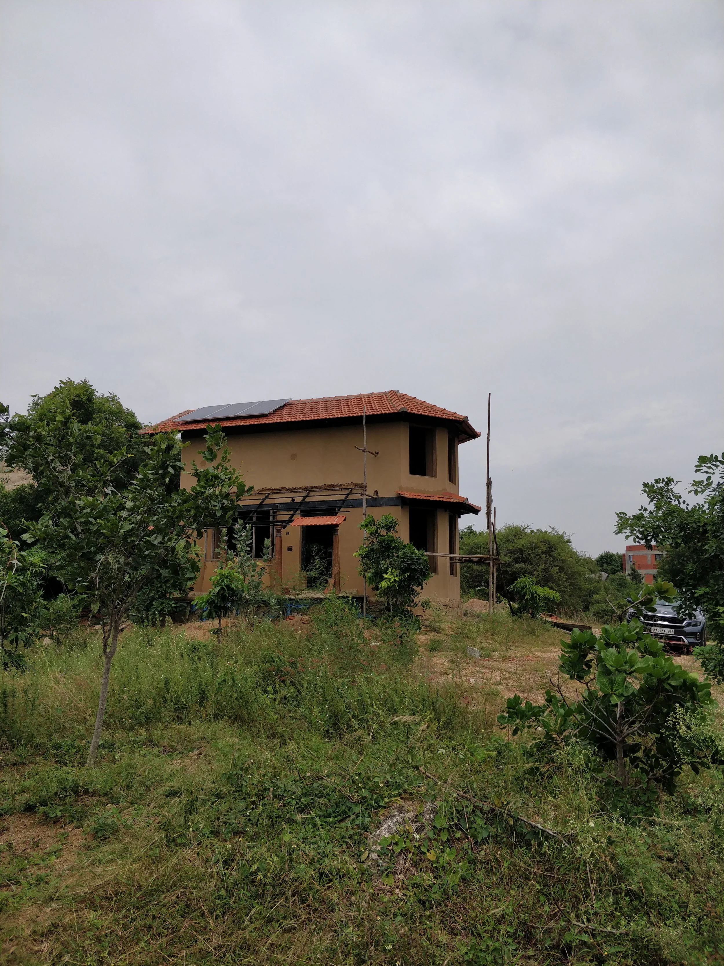
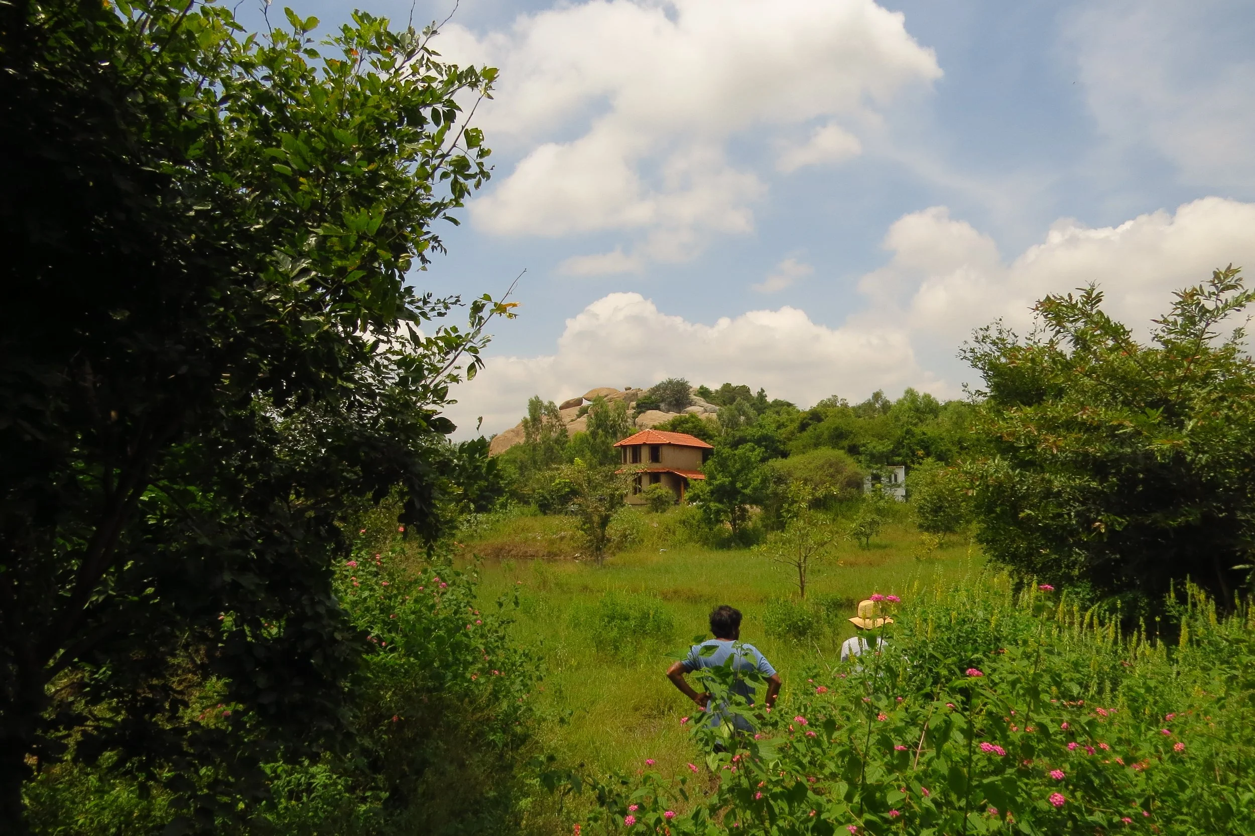
First shelter

View of rocky hills near site

Rocky hill bordering the site

Atop the rocky hill - ephemeral pools

Atop the rocky hill - ephemeral pool

Atop the rocky hill - views

Crevices in the rocky hill

Rock outcrops near the land

Perennial pond northwest of the land

Cissus quadrangularis (Pirandai)

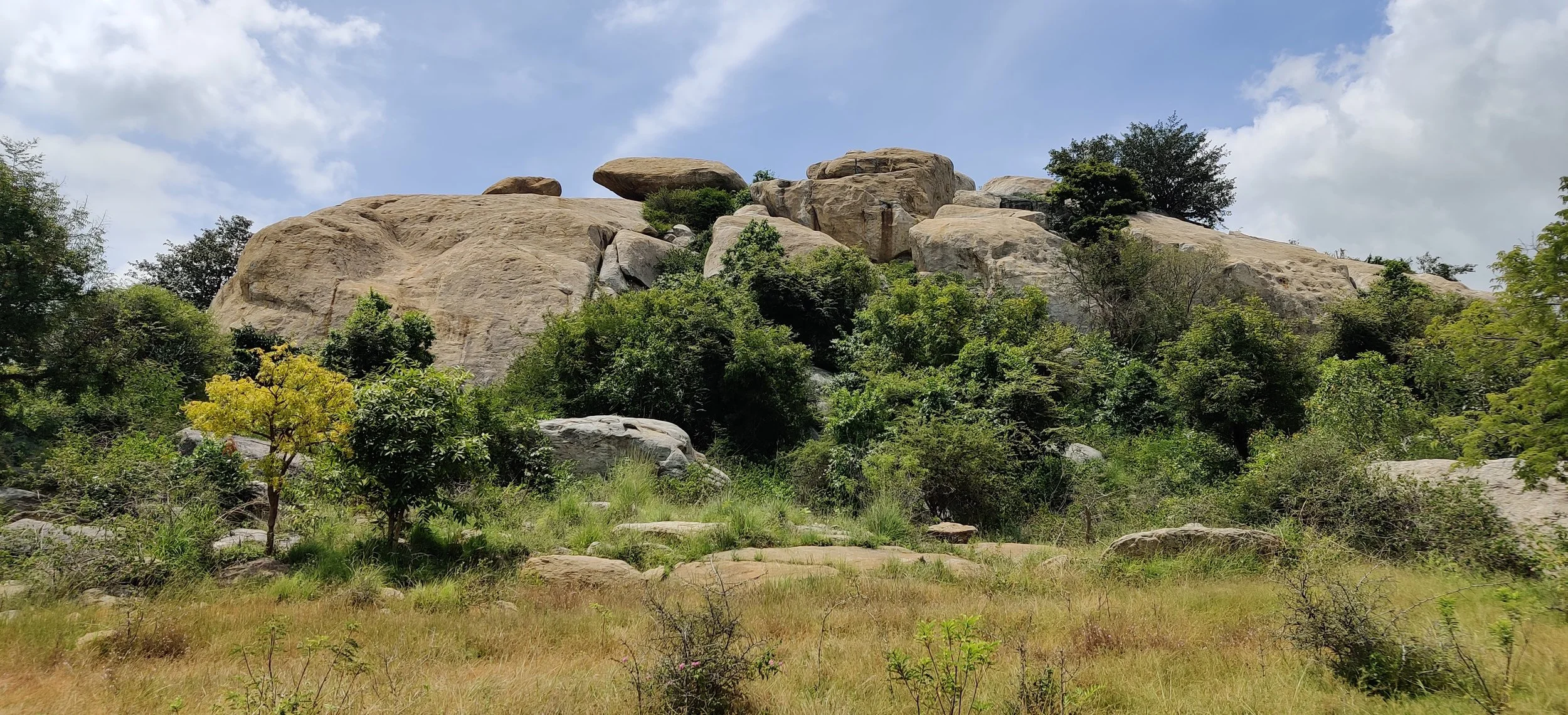
Rocky hill post-monsoons
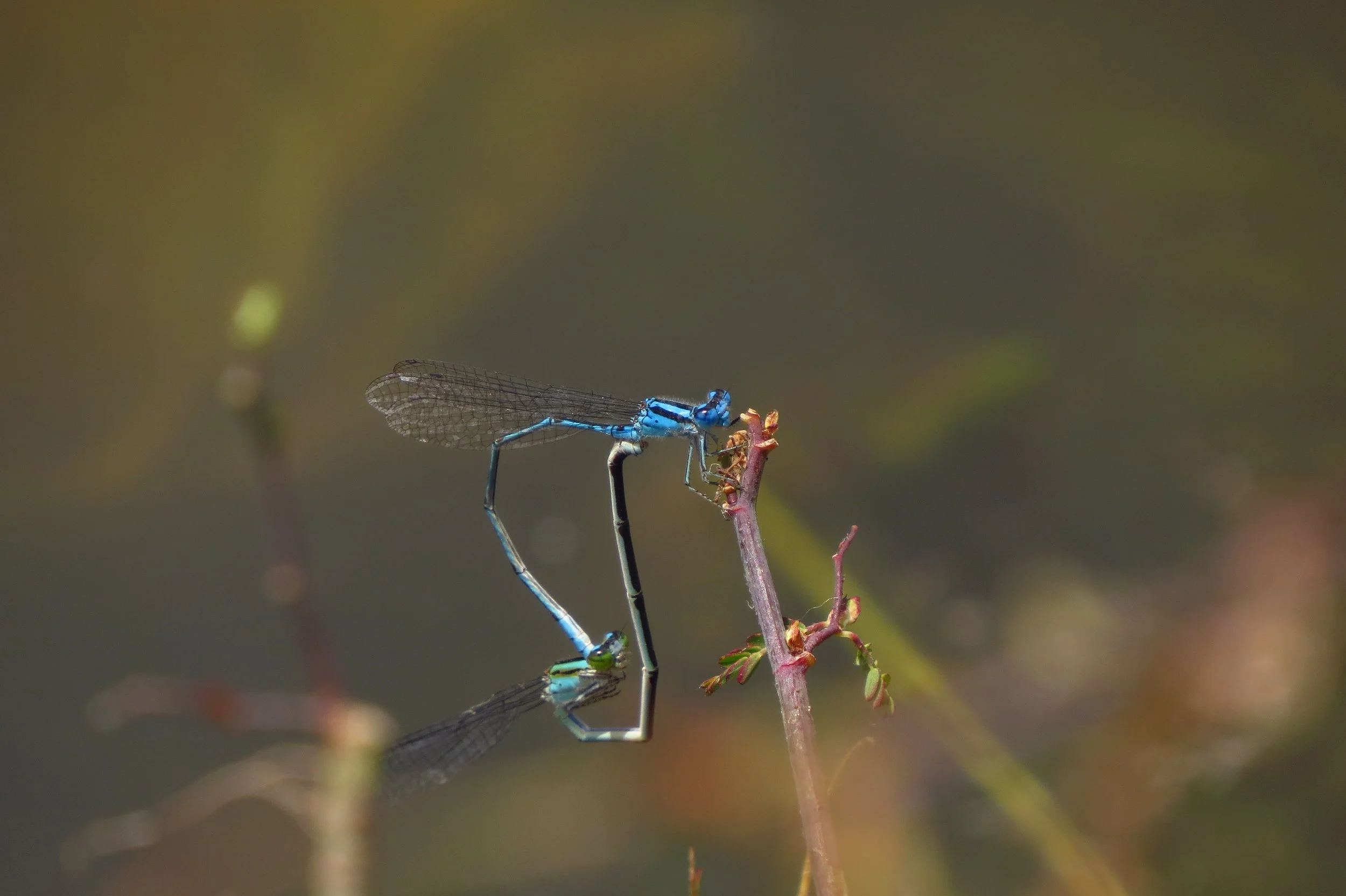
Mating damselflies
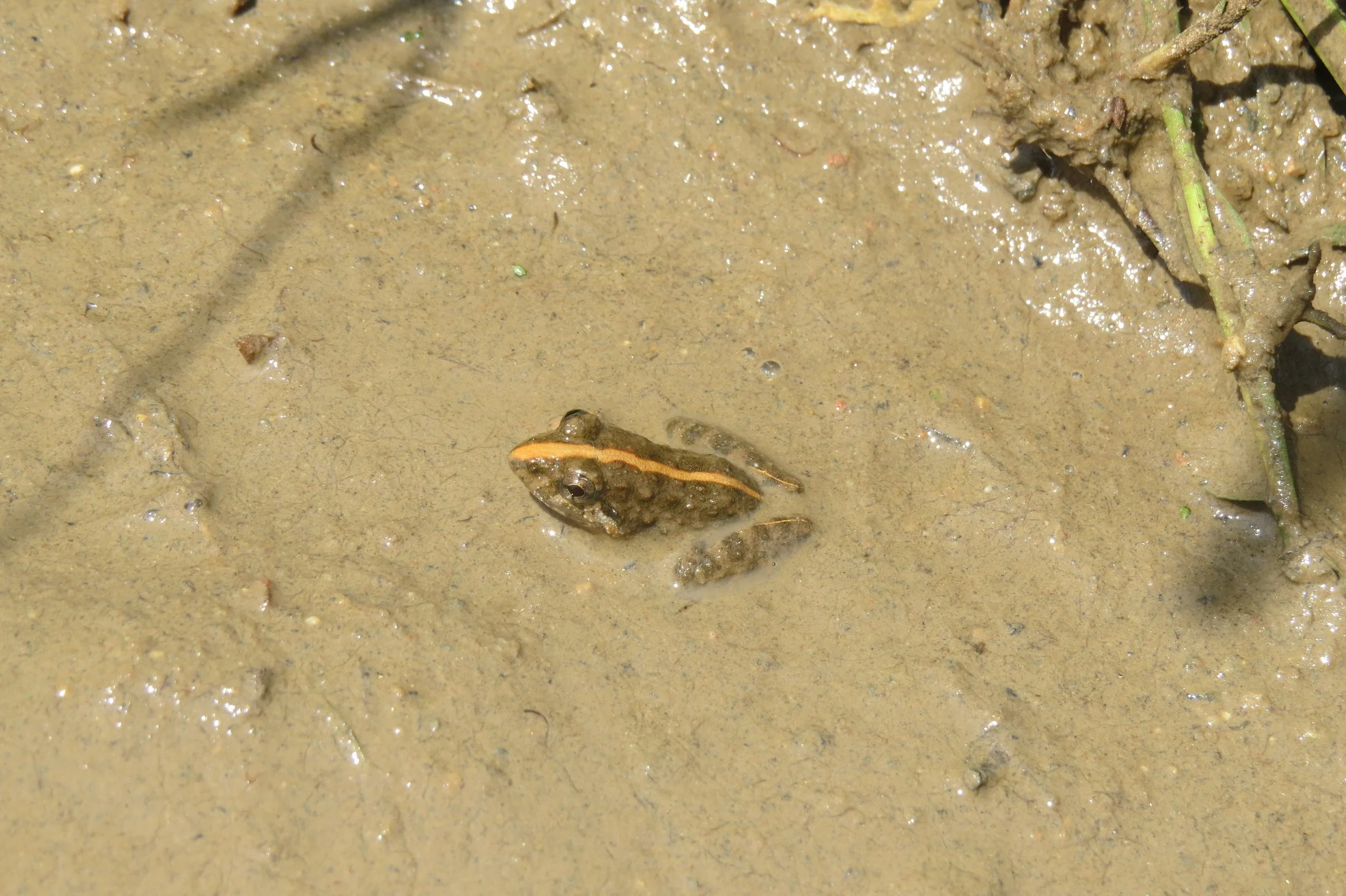
Rice field frog
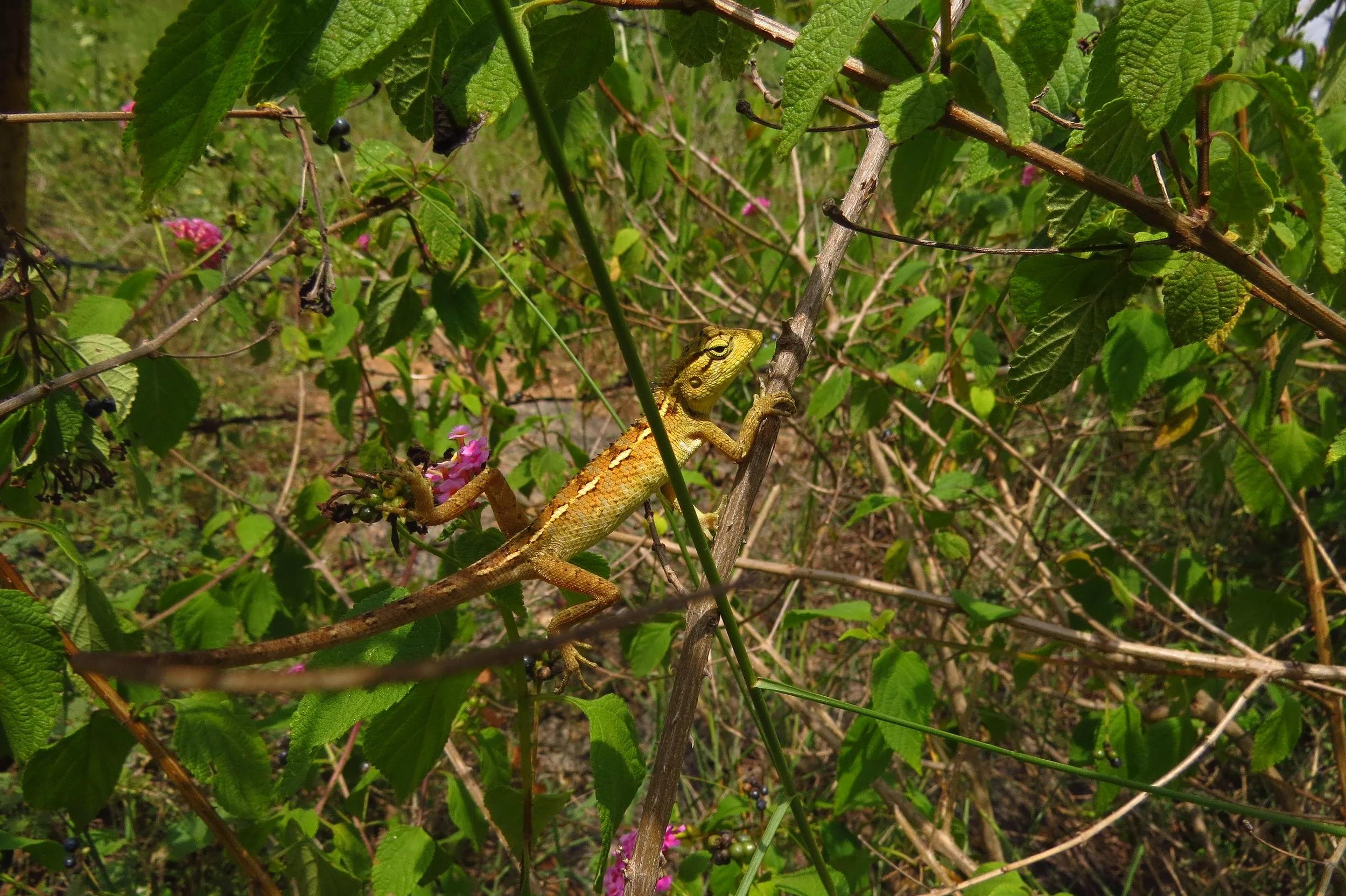
Oriental garden lizard
Wetlands and grasslands near the land

Perennial pond south of the land
View of first shelter from the east

Flooding along the road within the land
Flooding along the road within the land
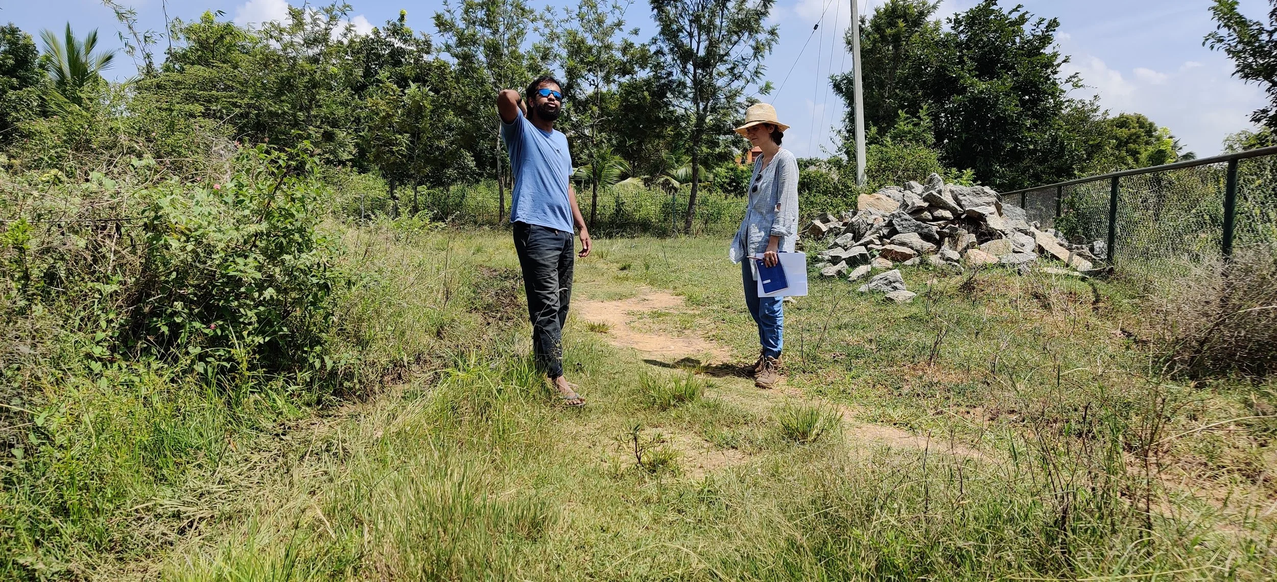
Discussing earthworks